Results for “uavsar”
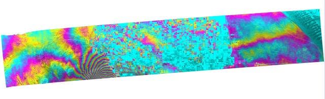
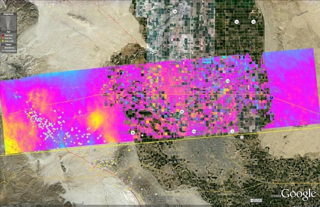
NASA Radar Captures Earth Deformation from 2010 Baja Calif. Quake
NASA/JPL/Google · 1280×393
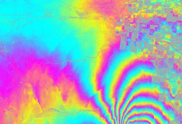
NASA Radar Images Show How Mexico Quake Deformed Earth
NASA/JPL/USGS/Google · 1280×874

UAVSAR Flight Crew
NASA/JPL-Caltech · 1280×960
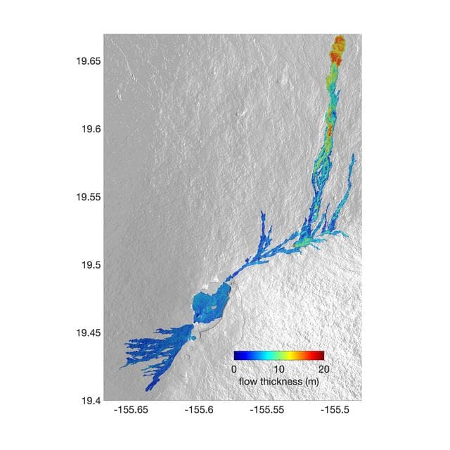
Airborne NASA Radar Maps Mauna Loa Lava Changes in Hawaii
NASA/JPL-Caltech · 1280×1280

Grumman, gulfstream, iii
NASA/Tony Landis · 1280×1024
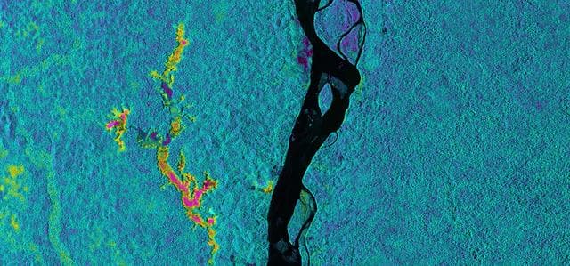
NASA Sends Unmanned Aircraft To Study Volcanoes and Wetlands
NASA/JPL-Caltech · 1280×599
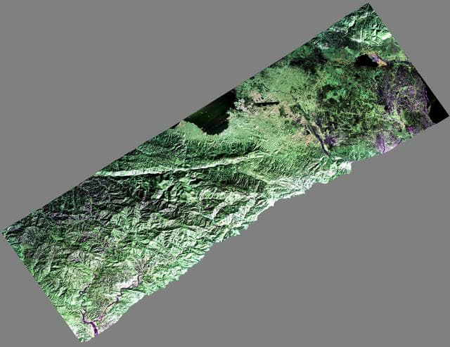
NASA Airborne Radar Captures Its First Images of Post-Quake Haiti
NASA/JPL · 1280×987
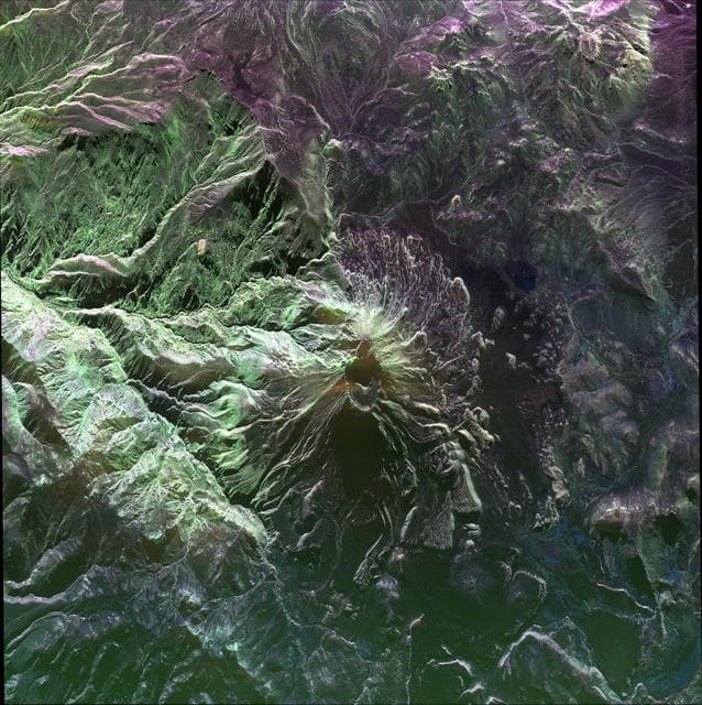
UAVSAR image of Ubinas Volcano
NASA/JPL-Caltech · 1277×1280
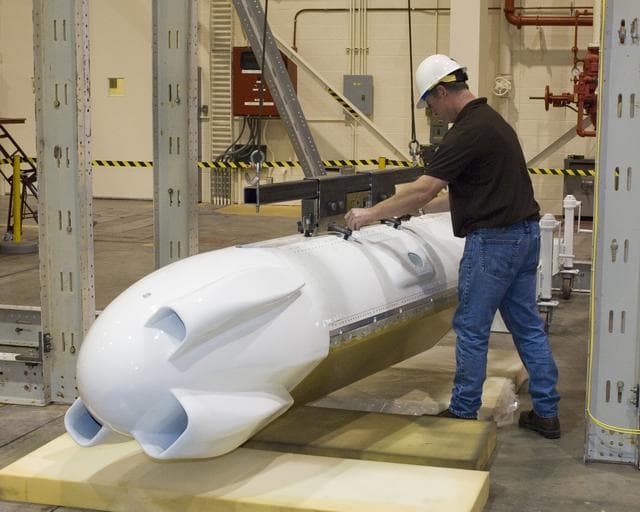
Uavsar, sar, synthetic
NASA/Tom Tschida · 1280×1024
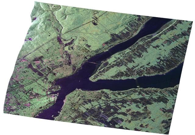
UAVSAR Radar Imagery of Boreal Forests Around Quebec City, Canada
NASA/JPL · 1280×887
NASA Radar Images Show Continued Deformation from Mexico Quake
NASA/JPL/USGS/California Geological Survey/Google · 1280×830