Results for “quake”
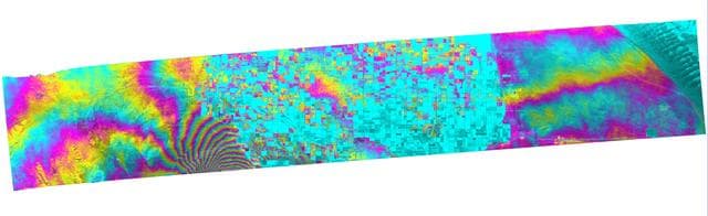
NASA Radar Captures Earth Deformation from 2010 Baja Calif. Quake
NASA/JPL/Google · 1280×393
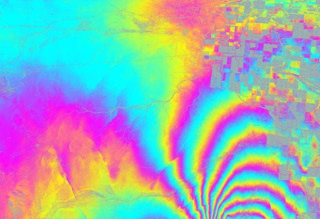
NASA Radar Images Show How Mexico Quake Deformed Earth
NASA/JPL/USGS/Google · 1280×874
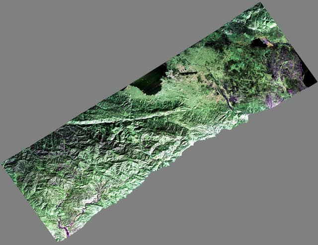
NASA Airborne Radar Captures Its First Images of Post-Quake Haiti
NASA/JPL · 1280×987
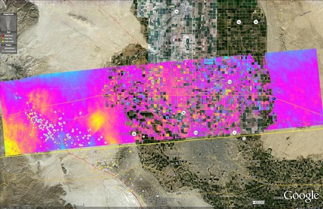
NASA Radar Images Show Continued Deformation from Mexico Quake
NASA/JPL/USGS/California Geological Survey/Google · 1280×830

San, francisco, earthquake
Internet Archive Book Images · 2608×2983

San, francisco, earthquake
Internet Archive Book Images · 2086×1648
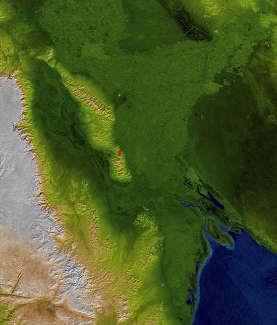
Baja Earthquake, Radar Image and Colored Height
NASA/JPL/NGA · 1091×1280
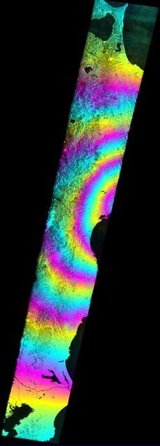
Satellite Radar Measures Tohoku, Japan Earthquake
ESA/NASA/JPL-Caltech ARIA Project · 461×1280

Sanfranciscoearthquake1906
Unknown · 1408×1090

979 Market Street after San Francisco Earthquake 1906
Edith Irvine · 1558×2205

San, francisco, earthquake
Willard Worden (1868-1946) · 1360×1060
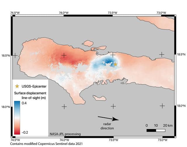
Satellite Data Shows Ground Motion from August 2021 Haiti Earthquake
NASA/JPL-Caltech/Copernicus · 1280×1003
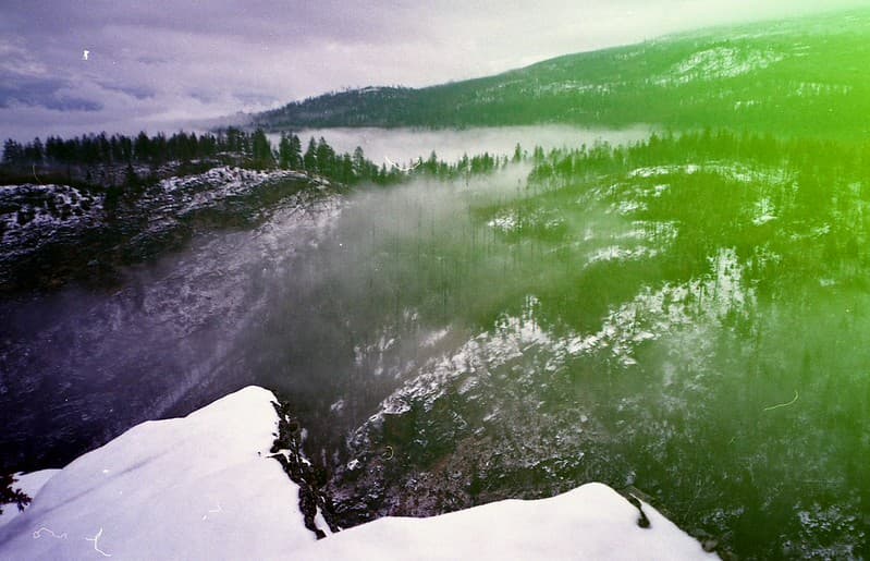
The Mountains Quake
Crusty Da Klown · 1024×660

San, francisco, earthquake
Internet Archive Book Images · 2983×2610

San, francisco, earthquake
Internet Archive Book Images · 2608×2983

San, francisco, earthquake
Internet Archive Book Images · 2983×2610
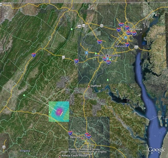
Earth, quakesim, computer
NASA/JPL-Caltech/Google · 1280×1205