Results for “harvey”
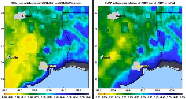
Soil, moisture, active
NASA/JPL-Caltech/GSFC · 1280×684
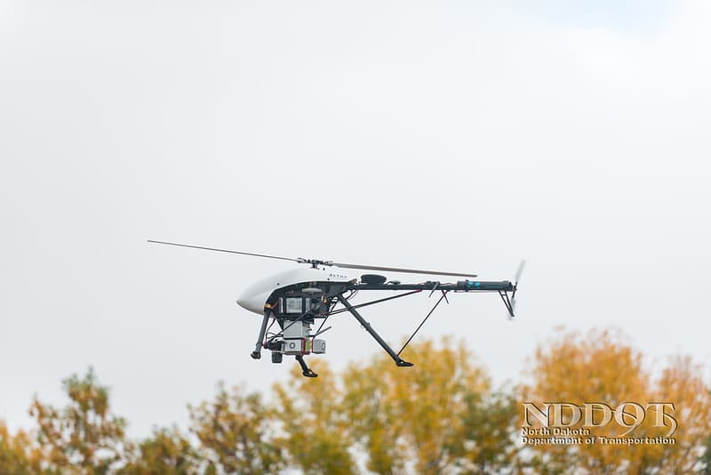
LiDAR Survey using drone technology
NDDOT Photos · 1024×683
Pier, manhattan, john
Weinstein, Gerald Related names: John J. Harvey Ltd.; Henry J. Gielow, Inc.; Todd Shipbuilding and Dry-Dock Corporation; Grielow, Henry; RTC Shipbuilding; G. Marine and Diesel; Caddell Drydock and Repair Company; Harvey, John J; Fire Department of New York; Croteau, Todd, project manager; Christianson, Justine, transmitter · 5428×4326
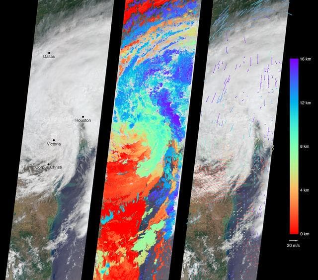
Tropical Storm Harvey Spotted by NASA's MISR
NASA/GSFC/LaRC/JPL-Caltech, MISR Team · 1280×1126
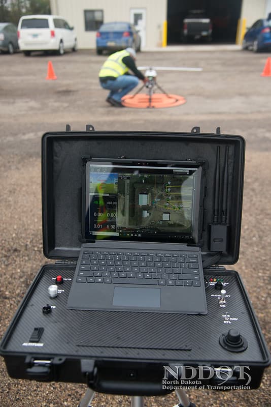
LiDAR Survey using drone technology
NDDOT Photos · 683×1024

Harvey, lomax, parallel
Dominic Hart · 1280×853
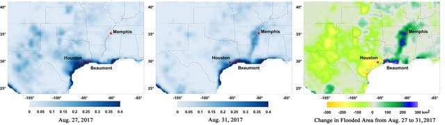
New NASA Maps Show Flooding Changes In Aftermath of Hurricane Harvey
NASA-JPL/Caltech/GSFC/University of Montana · 1280×361
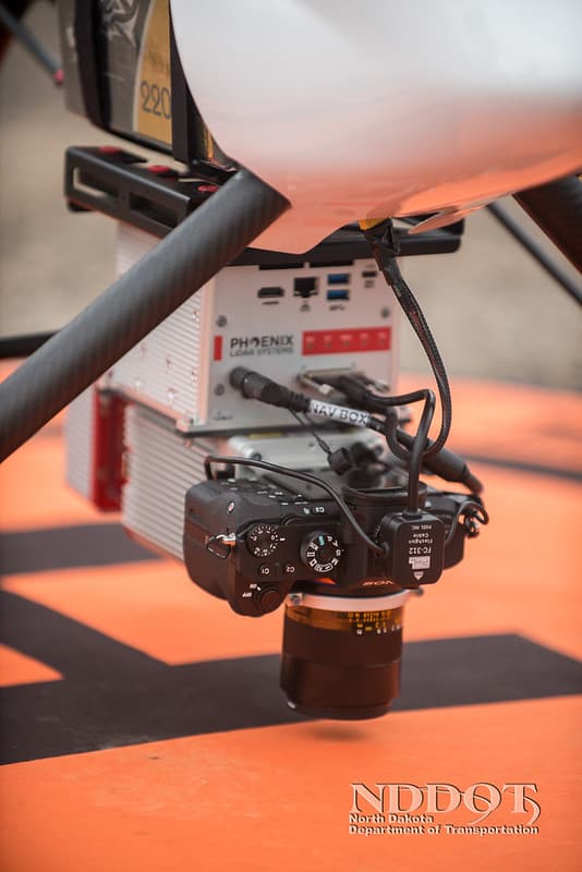
LiDAR Survey using drone technology
NDDOT Photos · 683×1024

Postcards, arizona, native
SMU Central University Libraries · 1000×648
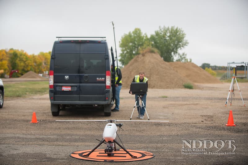
LiDAR Survey using drone technology
NDDOT Photos · 1024×683
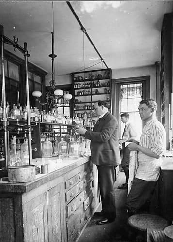
Harvey W. Wiley conducting experiments in his laboratory
USDAgov · 357×500