Results for “earth”
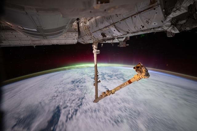
The aurora australis crowns Earth’s atmosphere above the Indian Ocean
NASA/JSC · 1280×853
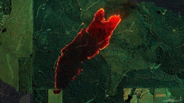
AVIRIS-3 Sensor Captures Data on Wildfire Near Castleberry, Alabama
NASA/JPL-Caltech, NASA Earth Observatory · 1280×720
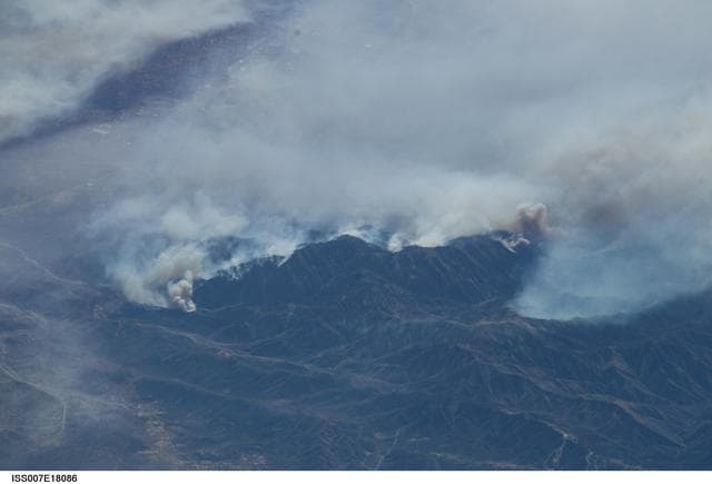
Earth Observations taken by the Expedition Seven crew
NASA/JSC · 1280×871

Swirl of Clouds over the Pacific
NASA/GSFC · 1024×1280
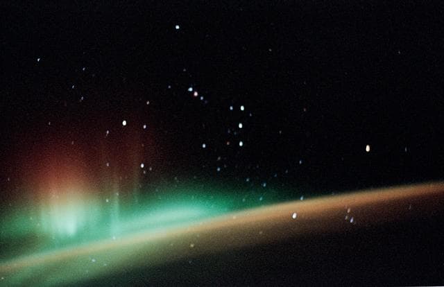
Aurora over Earth limb
NASA/JSC · 1280×829
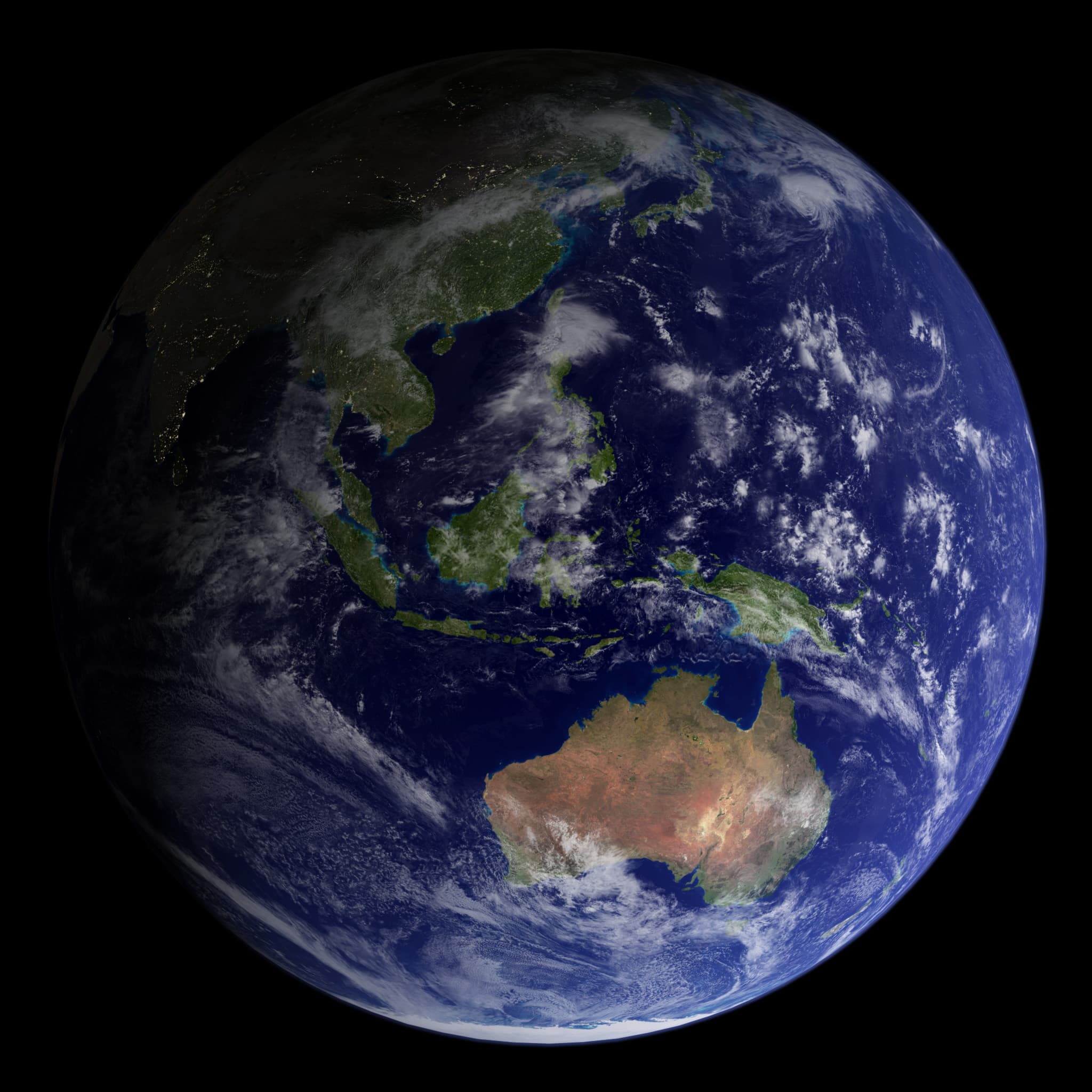
Sydney, Australia - Flickr - NASA Goddard Photo and Video
NASA/Robert Simmon and Reto Stöckli · 2048×2048
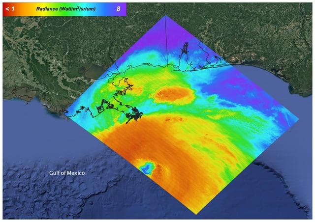
Hurricane Ida, August 27, 2021
NASA/JPL-Caltech · 1280×905
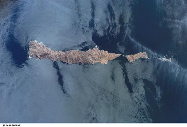
Earth Observations taken by the Expedition 15 Crew
NASA/JSC · 1280×871
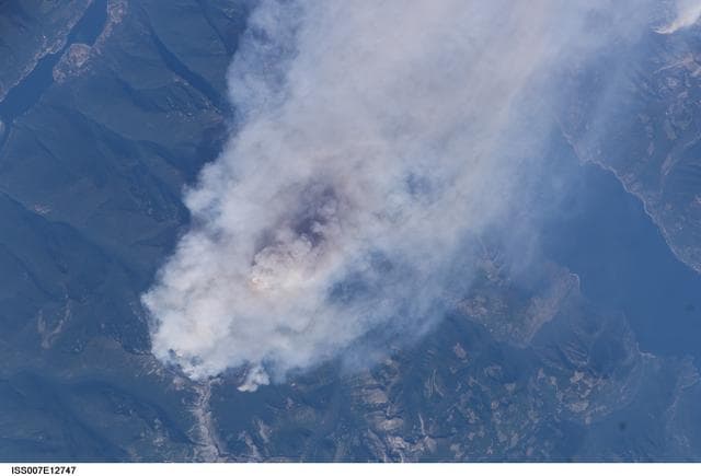
Earth observations taken by the Expedition Seven crew
NASA/JSC · 1280×871
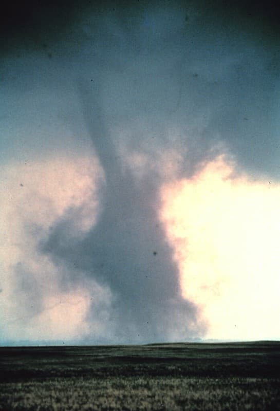
Tornado Dust Cloud (NOAA)
pingnews.com · 697×1024
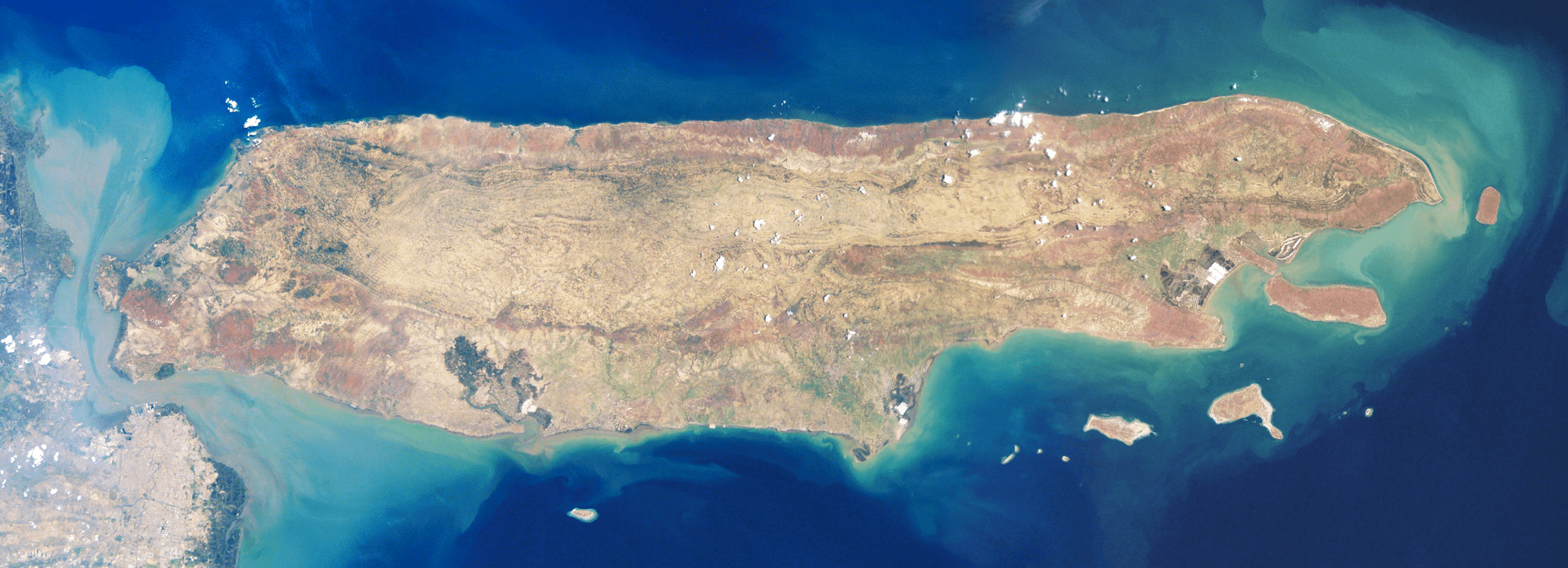
Satellite image of Madura Island
NASA · 3576×1296
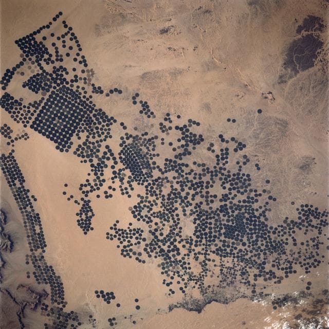
Irrigated Agriculture, Saudi Arabia
NASA/JSC · 1280×1280
Earth Observations taken by the Expedition 35 Crew
Chris Hadfield · 1280×851
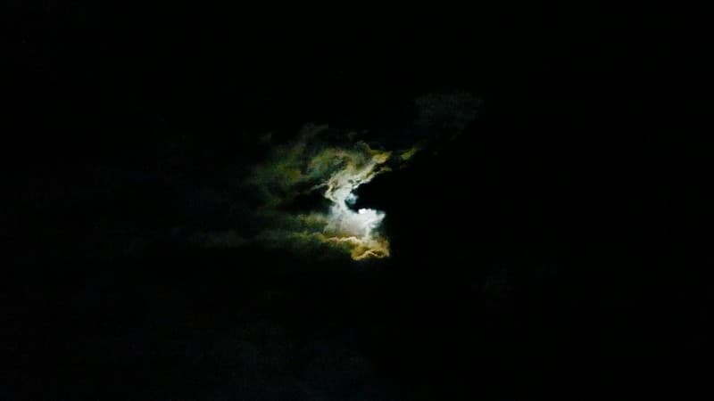
January 21, 2019 - 20:35PM the clouded moon
Katsujiro Maekawa · 1024×576
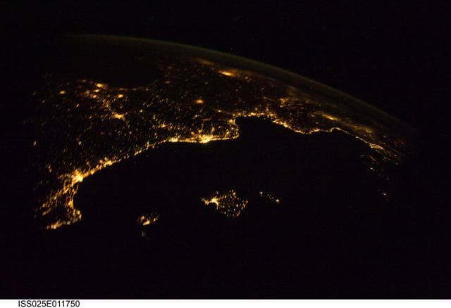
Night views of the Earth taken by the Expedition 25 crew
NASA/JSC · 1280×876
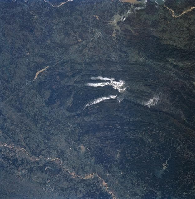
Ouachita Mountains, Oklahoma as seen from STS-58
NASA/JSC · 1252×1280
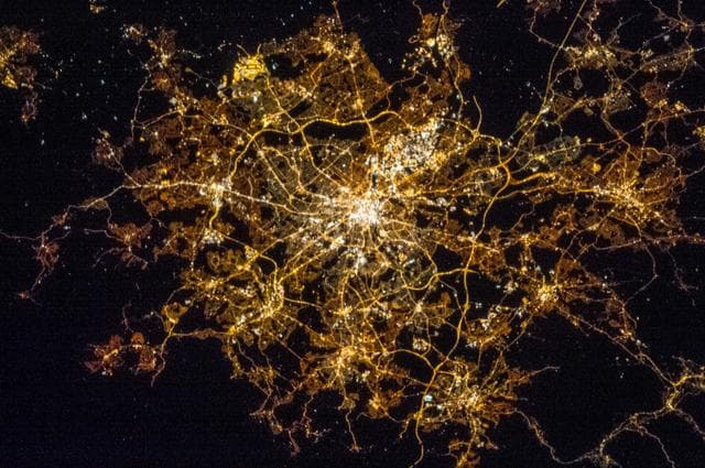
Earth Observations taken by the Expedition 35 Crew
Chris Hadfield · 1280×851
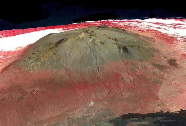
Mauna Kea volcano, Hawaii
NASA/METI/AIST/Japan Space Systems, and U.S./Japan ASTER Science Team · 1280×867
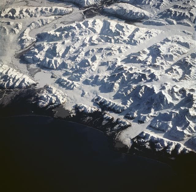
Earth observations taken during the STS-59 mission
NASA/JSC · 1280×1261
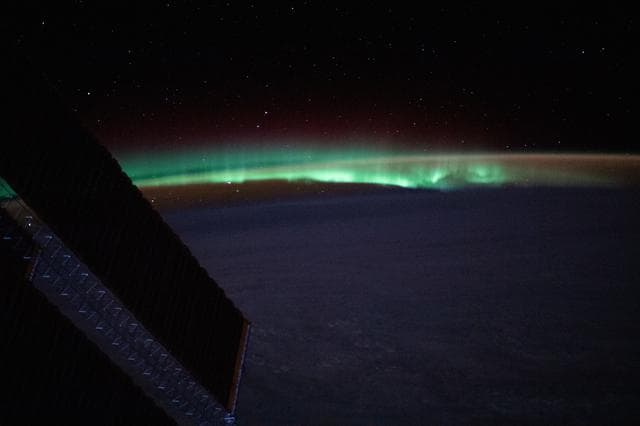
Earth, atmospheric, glow
NASA/JSC · 1280×853
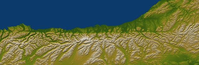
Alpine Fault, New Zealand, SRTM Shaded Relief and Colored Height
NASA/JPL/NGA · 1280×418
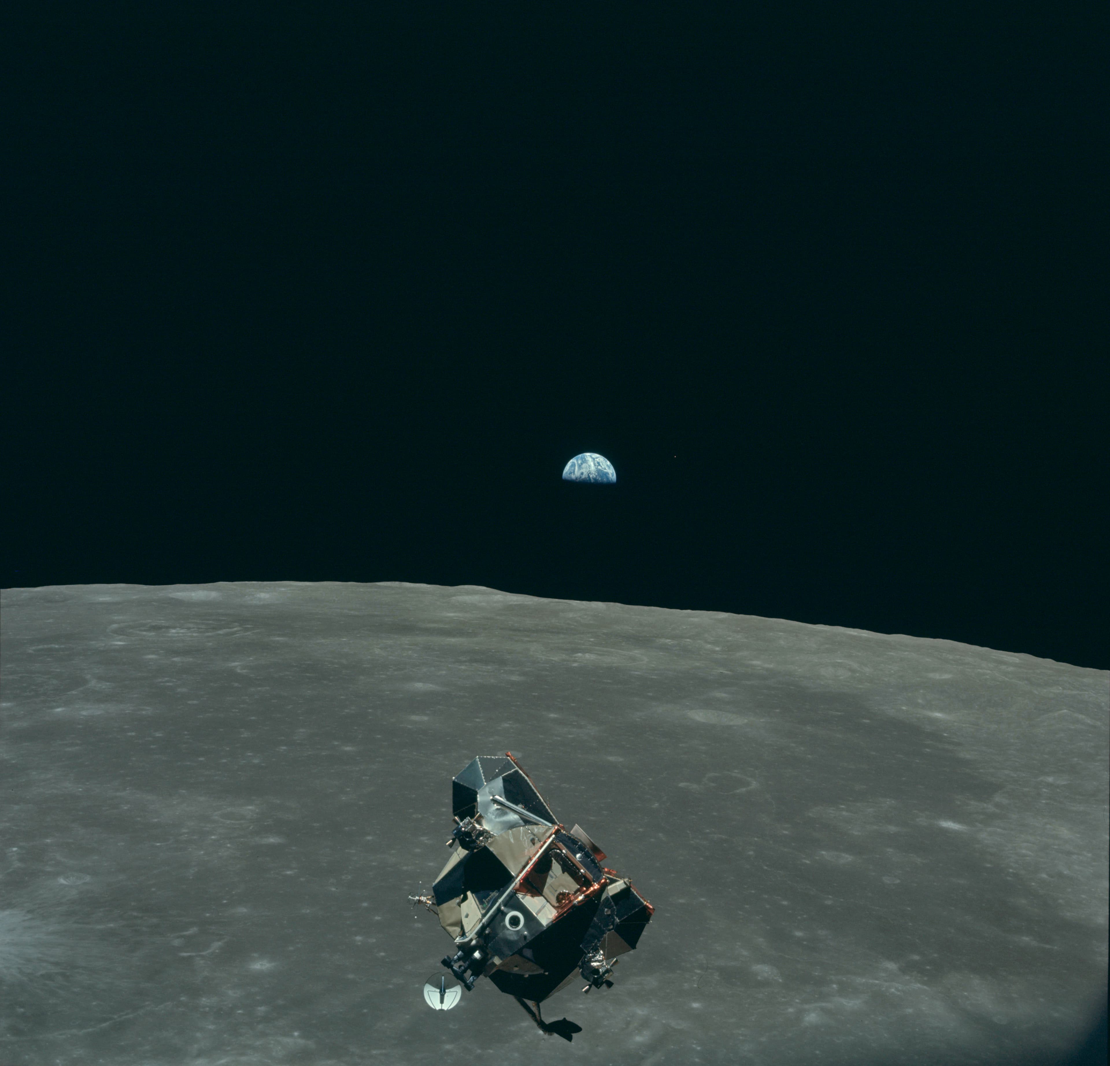
Earth, Moon and Lunar Module, AS11-44-6643
NASA / Apollo 11 · 4170×4007
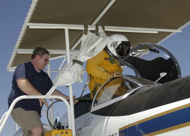
Earth, resources, aircraft
NASA/Tony Landis · 1280×917
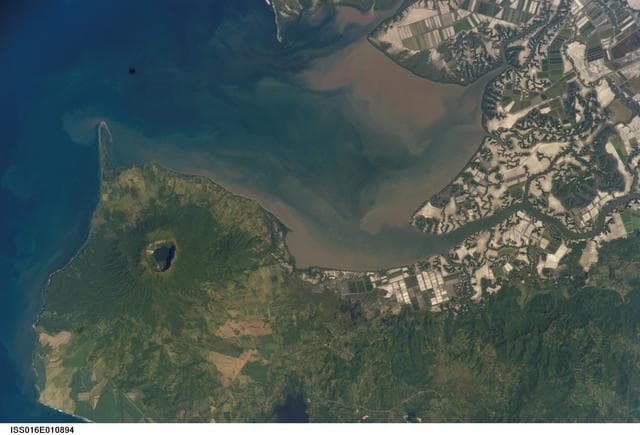
Earth Observations taken by the Expedition 16 Crew
NASA/JSC · 1280×871

Aurora over North America
NASA/GSFC · 1280×1280
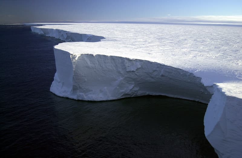
Anarctic, archival, archive
pingnews.com · 1024×669
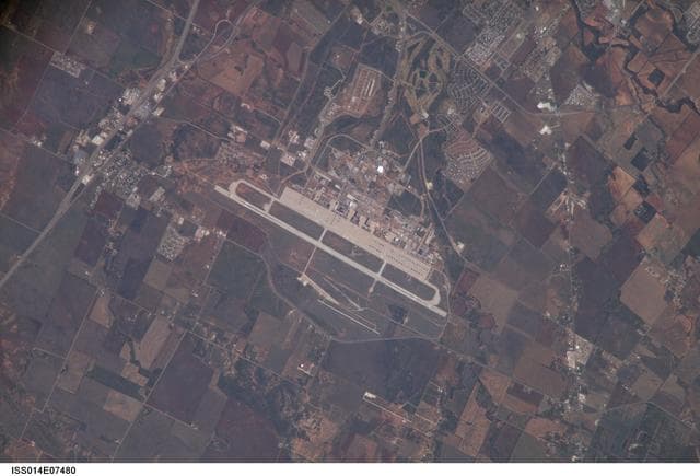
Earth Observations taken by the Expedition 14 crew
NASA/JSC · 1280×871
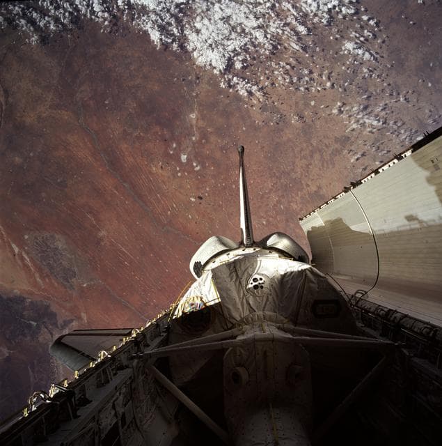
Payload bay with Spacelab backdropped by Earth
NASA/JSC · 1270×1280
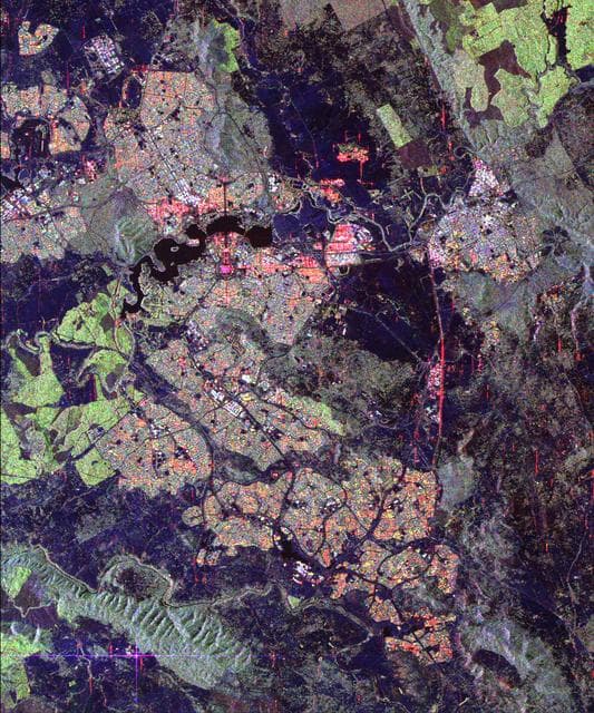
Space Radar Image of Canberra, Australia
NASA/JPL · 1066×1280
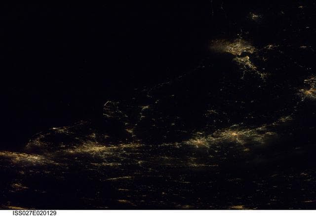
Earth Observations taken by the Expedition 27 Crew
NASA/JSC · 1280×876
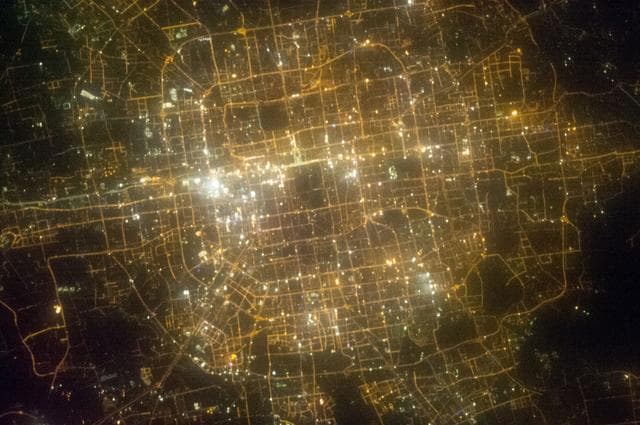
Earth Observations taken by the Expedition 35 Crew
Chris Hadfield · 1280×851
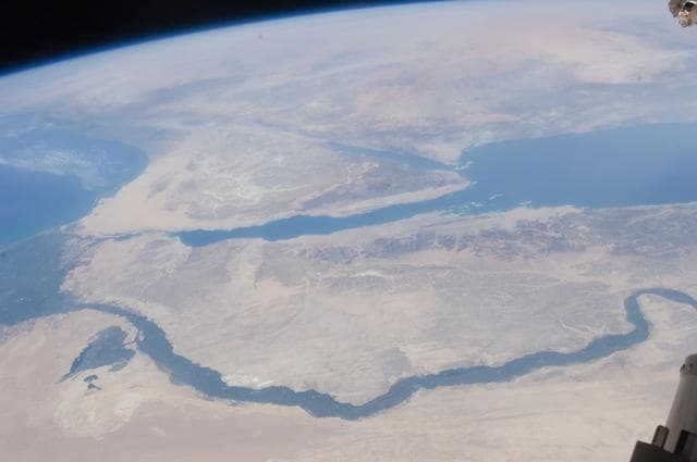
Earth Observation
NASA/JSC · 1280×850
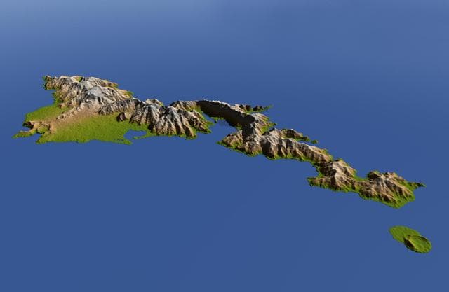
American Samoa, Shaded Relief and Colored Height
NASA/JPL/NGA · 1280×834
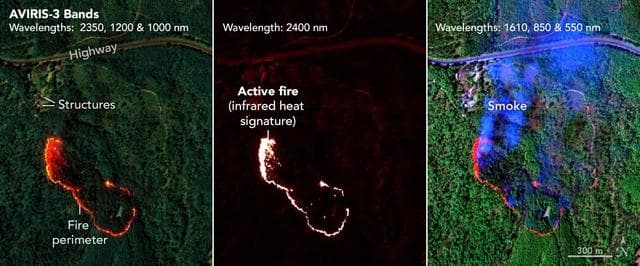
AVIRIS-3 Sensor Captures Data on Wildfire Near Mount Vernon, Alabama
NASA/JPL-Caltech, NASA Earth Observatory · 1280×533
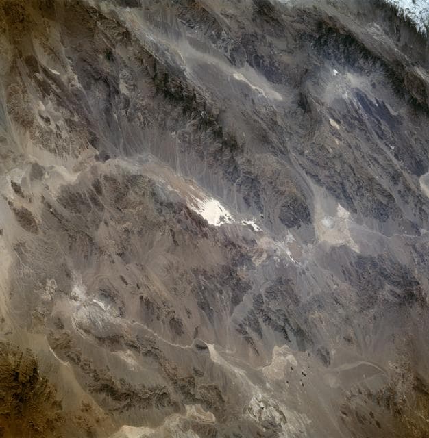
Death Valley California as seen from STS-59
NASA/JSC · 1252×1280
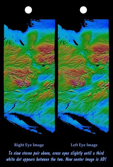
Earth, shuttle, radar
NASA/JPL/NIMA · 865×1280

GSFC 20191023 2020-896-004
NASA/GSFC · 1280×851
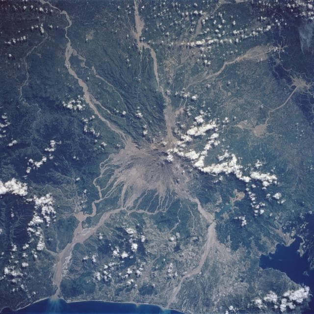
Mt. Pinatubo Volcano - Post Eruption, Luzon, Philippines
NASA/JSC · 1280×1280
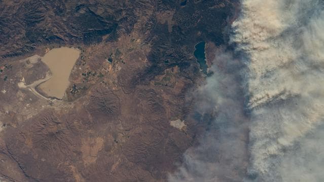
Wildfires just northwest of California's Eagle Lake and Honey Lake
NASA/JSC · 1279×718
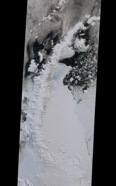
NASA MISR Tracks Growth of Rift in the Larsen C Ice Shelf
NASA/GSFC/LaRC/JPL, MISR Team · 800×1280