Results for “noaa”
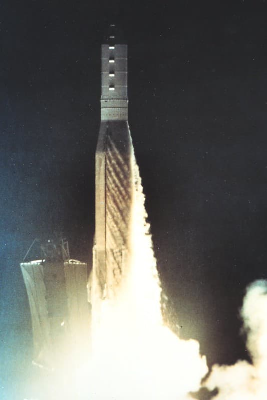
NOAA Satellite Launch
pingnews.com · 683×1024
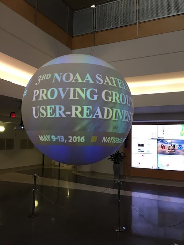
NOAA Satellite Proving Ground/User Readiness Meeting
NOAASatellites · 768×1024

Hog Island shoreline wetland erosion
NOAA Fisheries/NOAA Chesapeake Bay Office · 935×621

Aurora Borealis over North America, 2015 (50700001678)
NOAASatellites · 1913×1231
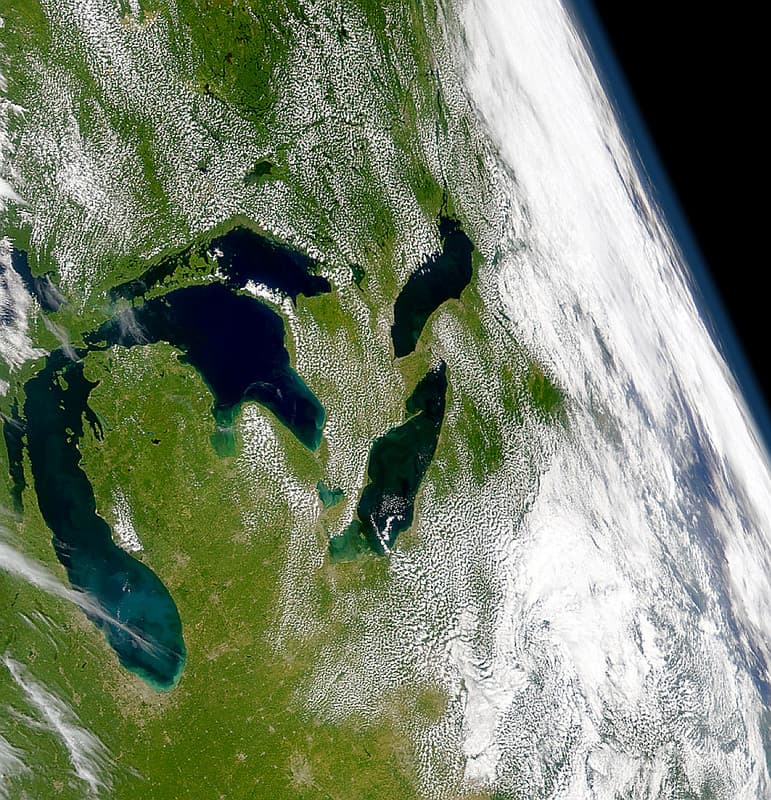
Great Lakes Basin MODIS satellite image
NOAA Great Lakes Environmental Research Laboratory · 987×1024
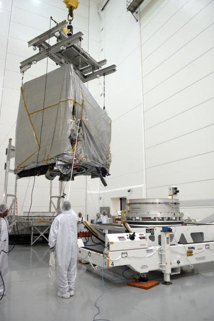
Goes, weather, satellite
NASA/KSC · 856×1280

Sentinel-6B Solar Array Cover Installations and Spacecraft Rotat
USSF 30th Space Wing/Roy Allison · 1280×854

2015 NOAA Satellite Conference
NOAASatellites · 1024×683
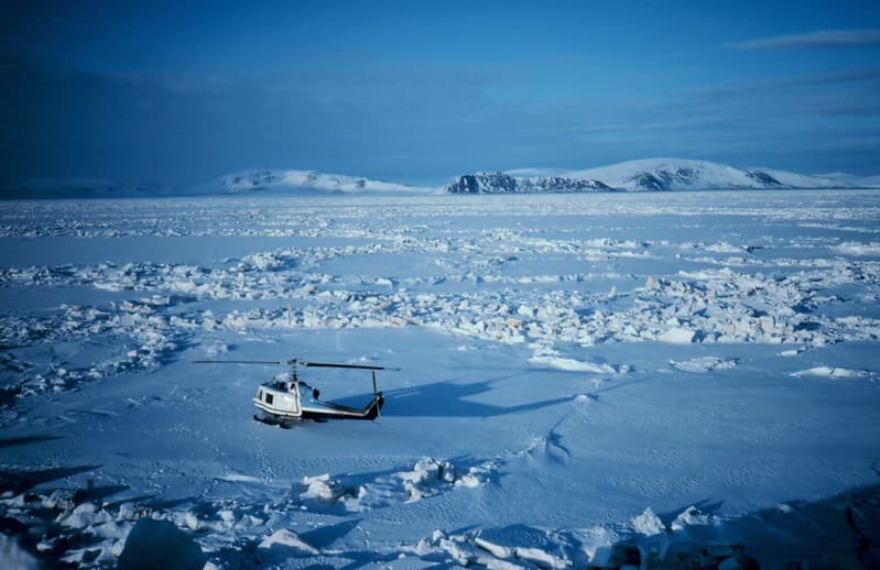
Sledge Island, 1981 (NOAA)
pingnews.com · 1024×663

NOAA-NESDIS satellite image of January 1997 floods
NOAA · 925×903
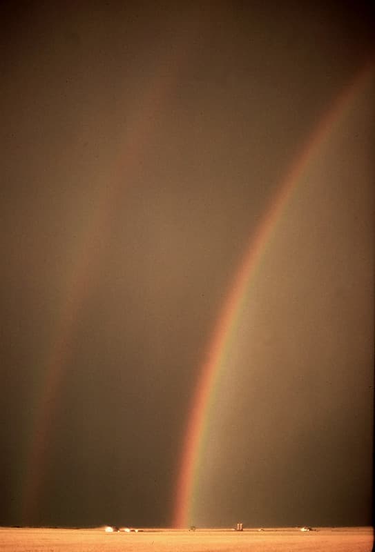
Rainbow Over Oklahoma Wheat (NOAA/unidentified fotog)
pingnews.com · 695×1024
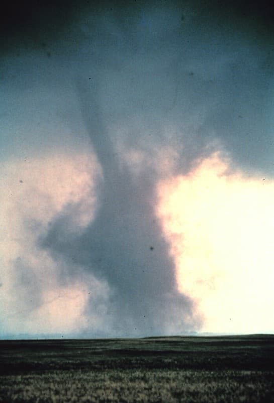
Tornado Dust Cloud (NOAA)
pingnews.com · 697×1024
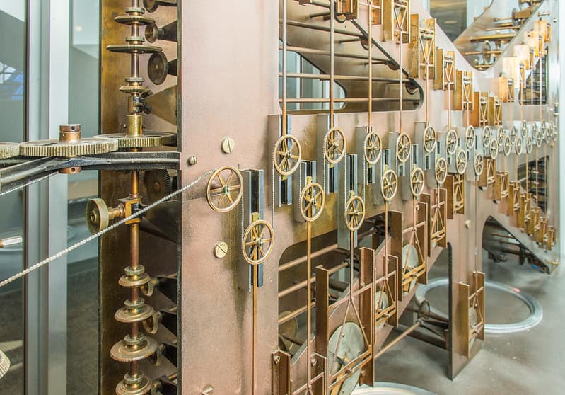
NOAA's Tide Predicting Machine No. 2
scattered1 · 1024×714
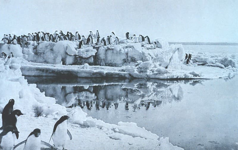
'Penguins on Ice-foot,' 1913 by Dr. Levick (NOAA)
pingnews.com · 1024×648
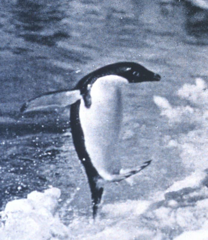
'Penguins Jumping Onto the Ice-foot,' 1913 by Dr. Levick (NOAA)
pingnews.com · 887×1024
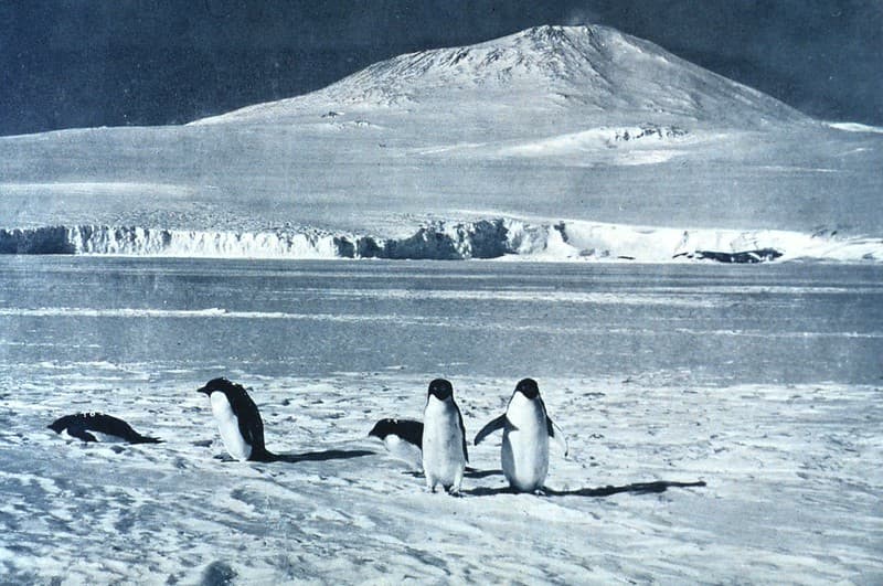
Penguins at Mount Erebus, 1913 by F. Debenham (NOAA)
pingnews.com · 1024×680
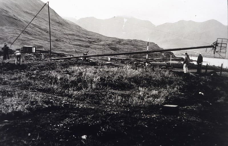
First Electronic Navigation Antenna, 1945 (NOAA/unidentified fotog)
pingnews.com · 1024×658
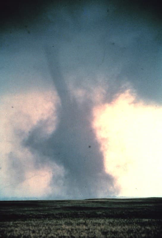
Tornado with Dust Cloud, Cordell, Oklahoma, 1981 (NOAA)
pingnews.com · 697×1024
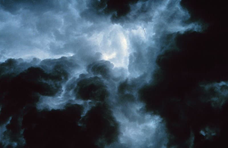
Turbulent Gust from Clouds (NOAA/NSSL/unidentified fotog)
pingnews.com · 1024×664