Results for “map”

"Titelblatt der Mappe Abschied und Tod"
Käthe Kollwitz Museum Berlin · 400×479
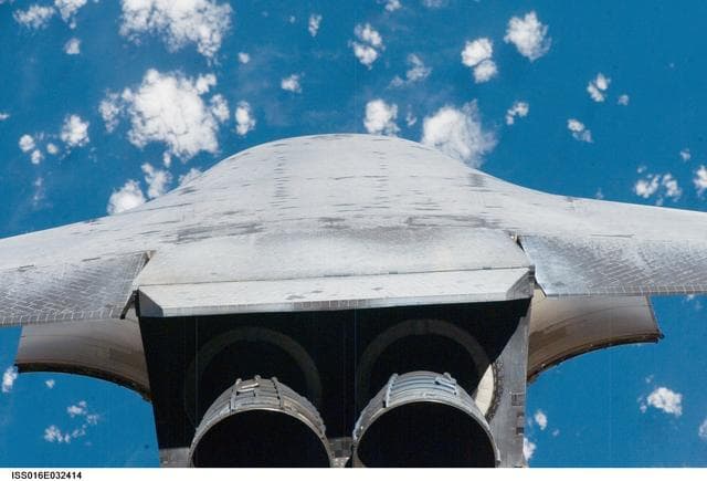
Mapping Sequence performed during the STS-123 R-Bar Pitch Maneuver
NASA/JSC · 1280×871
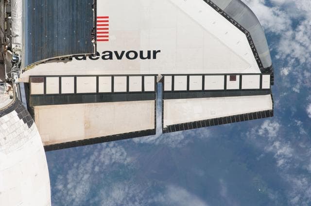
Mapping Sequence performed during the STS-134 R-Bar Pitch Maneuver
Cady Coleman · 1280×850
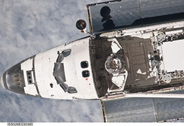
Mapping Sequence performed during the STS-133 R-Bar Pitch Maneuver
NASA/JSC · 1280×877
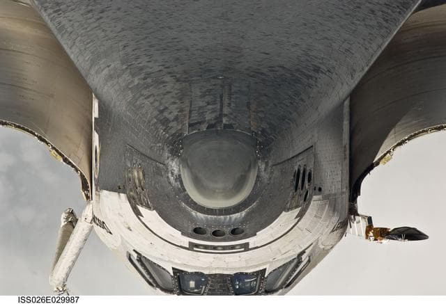
Mapping Sequence performed during the STS-133 R-Bar Pitch Maneuver
NASA/JSC · 1280×874
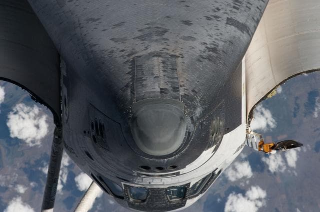
Mapping Sequence performed during the STS-134 R-Bar Pitch Maneuver
Cady Coleman · 1280×850
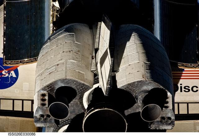
Mapping Sequence performed during the STS-133 R-Bar Pitch Maneuver
NASA/JSC · 1280×874
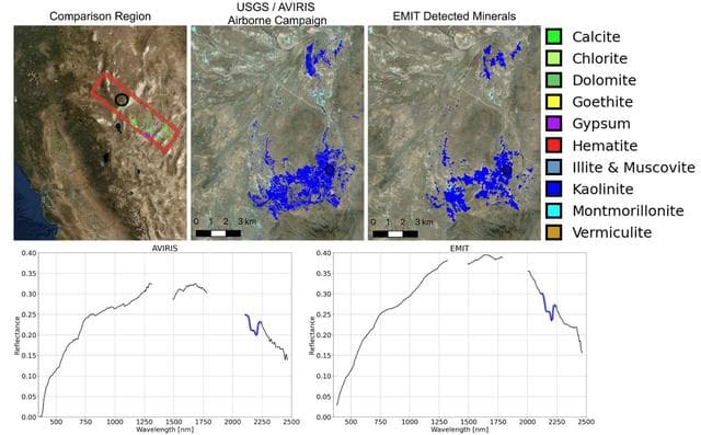
NASA's EMIT Collects Mineral Maps, Spectral Fingerprints From Nevada
NASA/JPL-Caltech/USGS · 1280×794
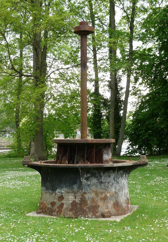
The original Mapledurham hydro turbine
karenblakeman · 713×1024

Coast Guard Assists with Mapping of Great Lakes Ice
NASA/GRC · 1280×960
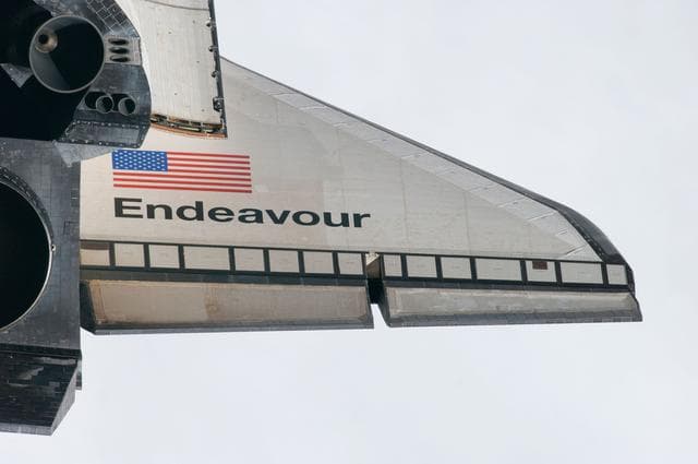
Mapping Sequence performed during the STS-134 R-Bar Pitch Maneuver
Cady Coleman · 1280×850
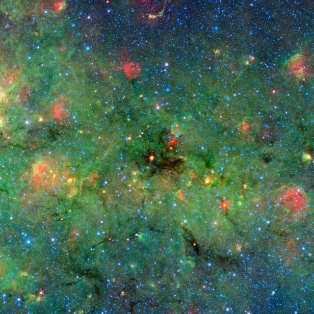
Mapping the Densest Dusty Cloud Cores
NASA/JPL-Caltech/University of Zurich · 1280×1280
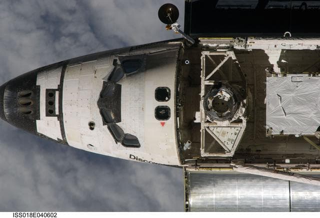
Mapping, sequence, performed
NASA/JSC · 1280×874
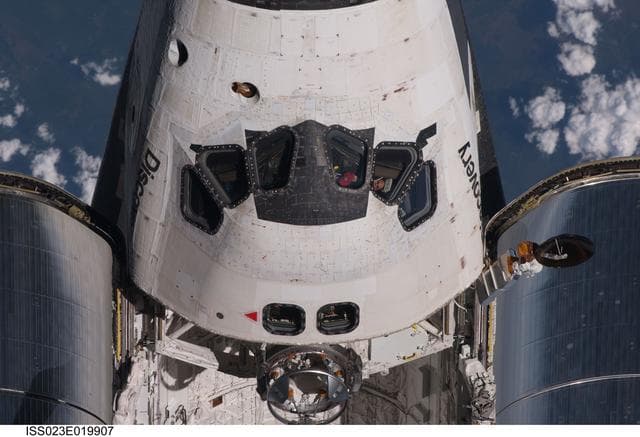
Mapping Sequence performed during the STS-131 R-Bar Pitch Maneuver
NASA/JSC · 1280×874
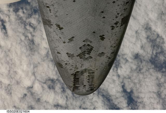
Mapping, sequence, performed
NASA/JSC · 1280×874
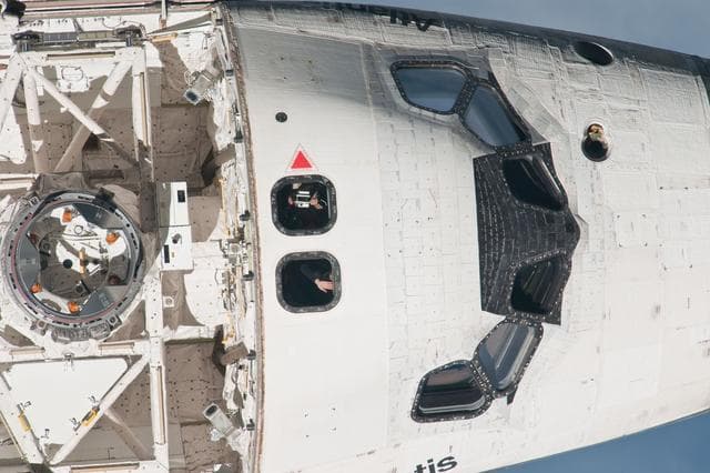
Mapping Sequence performed during the STS-135 R-Bar Pitch Maneuver
NASA/JSC · 1280×853
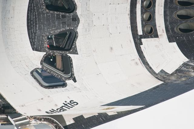
Mapping Sequence performed during the STS-135 R-Bar Pitch Maneuver
NASA/JSC · 1280×853
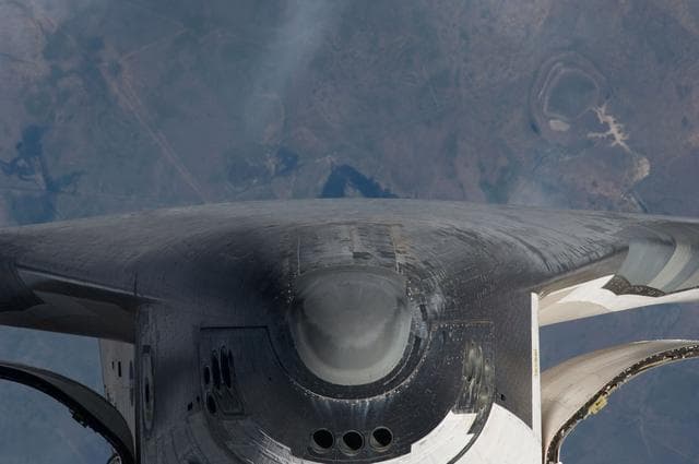
Mapping Sequence performed during the STS-134 R-Bar Pitch Maneuver
Cady Coleman · 1280×850
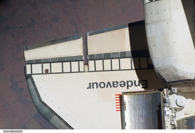
Mapping Sequence performed during the STS-123 R-Bar Pitch Maneuver
NASA/JSC · 1280×871

"Richter-Mappe"
Käthe Kollwitz Museum Berlin · 400×494
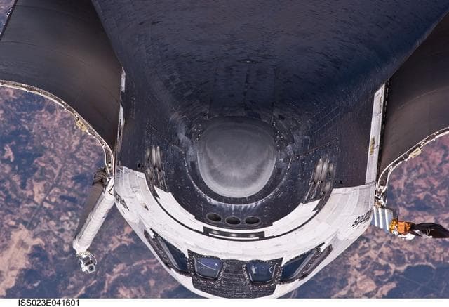
Mapping Sequence performed during the STS-132 R-Bar Pitch Maneuver
Oleg Kotov · 1280×874

Maple Leaves, 1871 (from Sketchbook) MET 264343
Daniel Huntington · 1940×1244
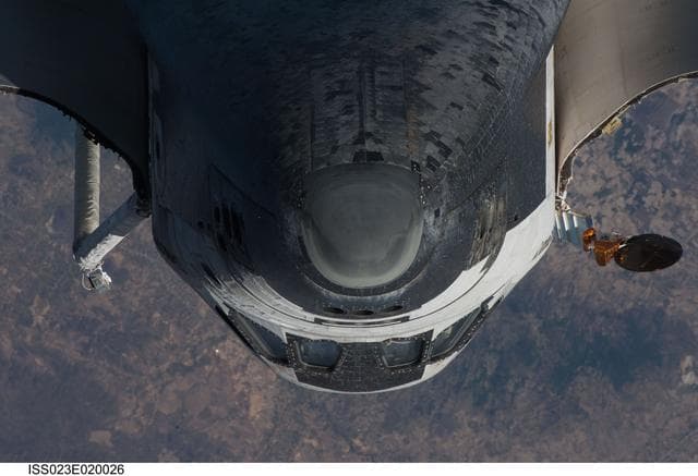
Mapping Sequence performed during the STS-131 R-Bar Pitch Maneuver
NASA/JSC · 1280×874
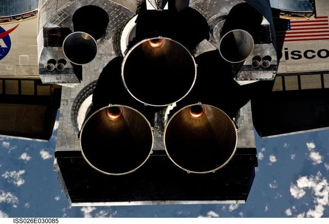
Mapping Sequence performed during the STS-133 R-Bar Pitch Maneuver
NASA/JSC · 1280×874
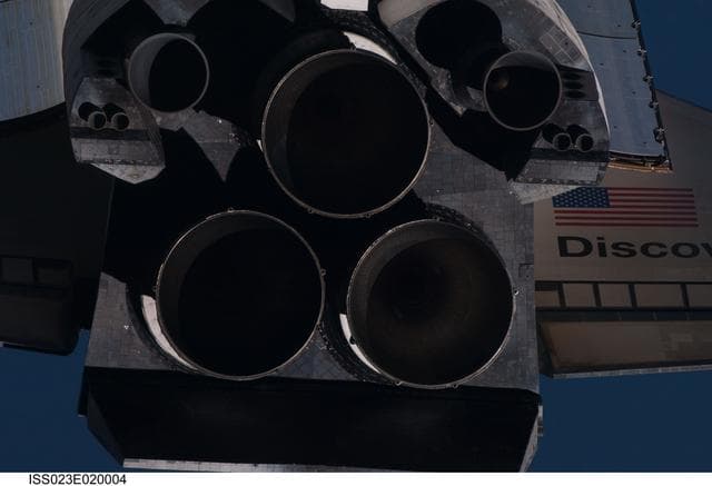
Mapping Sequence performed during the STS-131 R-Bar Pitch Maneuver
NASA/JSC · 1280×874
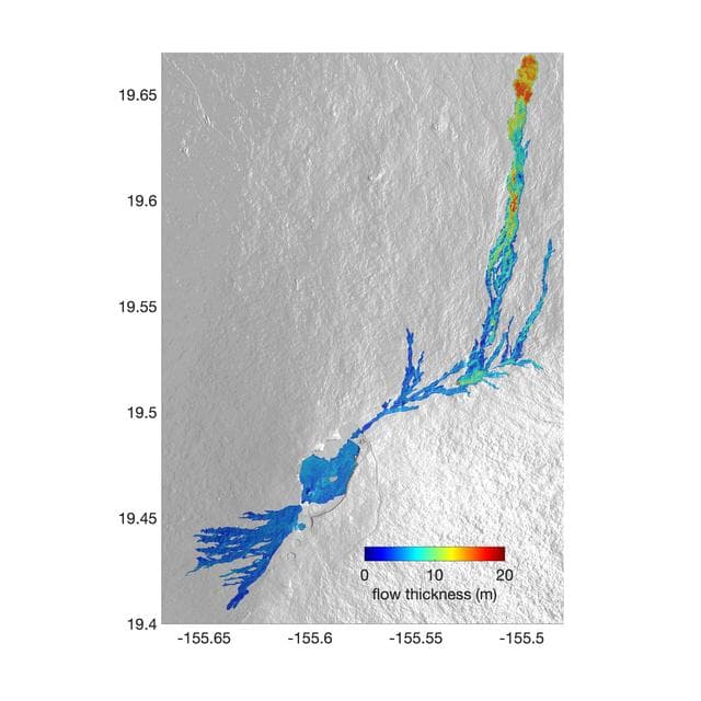
Airborne NASA Radar Maps Mauna Loa Lava Changes in Hawaii
NASA/JPL-Caltech · 1280×1280
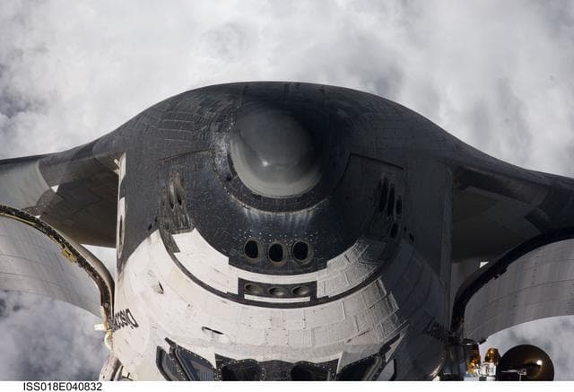
Mapping, sequence, performed
NASA/JSC · 1280×874
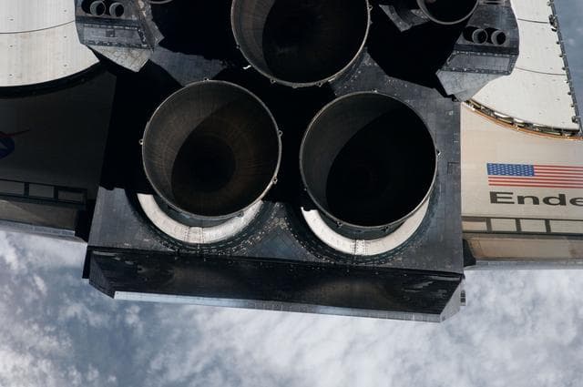
Mapping Sequence performed during the STS-134 R-Bar Pitch Maneuver
Cady Coleman · 1280×850
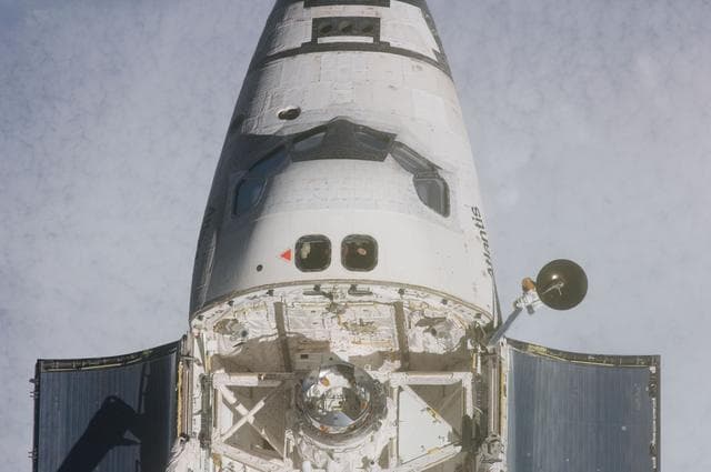
Mapping Sequence performed during the STS-135 R-Bar Pitch Maneuver
NASA/JSC · 1280×850
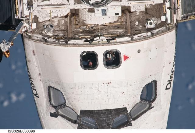
Mapping Sequence performed during the STS-133 R-Bar Pitch Maneuver
NASA/JSC · 1280×877
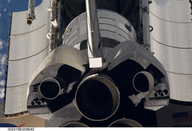
Mapping, sequence, performed
NASA/JSC · 1280×874
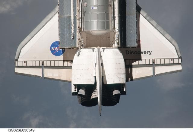
Mapping Sequence performed during the STS-133 R-Bar Pitch Maneuver
NASA/JSC · 1280×877
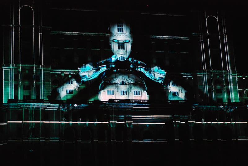
3D Video Mapping Projection of a Robot on Buildings
MyStockPhotos · 1024×685

Map of Muni routes using Market Street, 2019
San Francisco Municipal Transportation Agency · 808×692
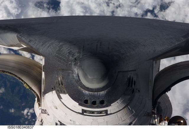
Mapping, sequence, performed
NASA/JSC · 1280×874
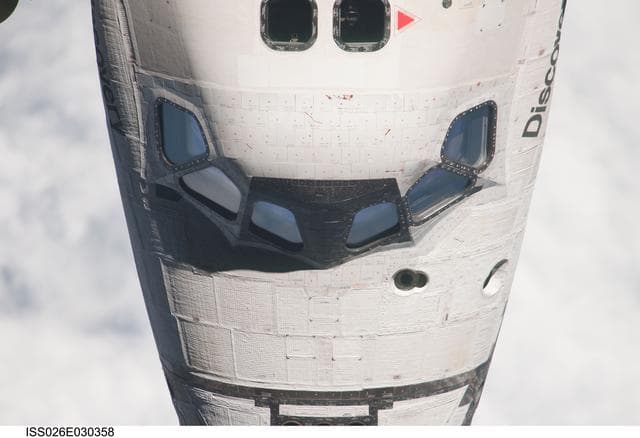
Mapping Sequence performed during the STS-133 R-Bar Pitch Maneuver
NASA/JSC · 1280×877
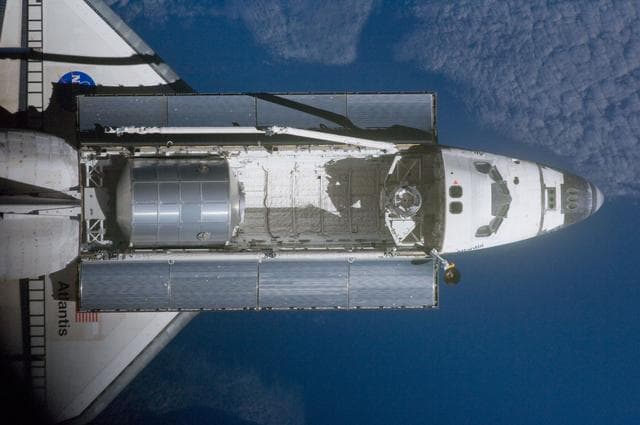
Mapping Sequence performed during the STS-135 R-Bar Pitch Maneuver
NASA/JSC · 1280×850
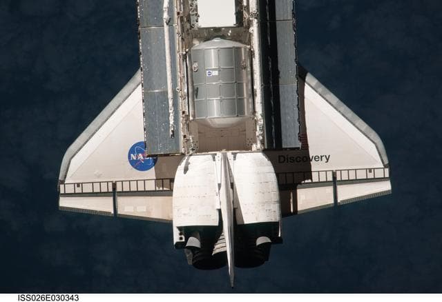
Mapping Sequence performed during the STS-133 R-Bar Pitch Maneuver
NASA/JSC · 1280×877

Portrait of Jacob de Bucquoy, map maker
Noorde, Cornelis van, · 400×482
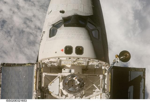
Mapping, sequence, performed
NASA/JSC · 1280×874