Results for “noaa”

2016 NOAA Satellite Proving Ground/User Readiness Meeting
NOAASatellites · 1024×768

Stellwagen Bank National Marine Sanctuary humpback whale and seagulls
Anonymous NOAA photographer · 780×900
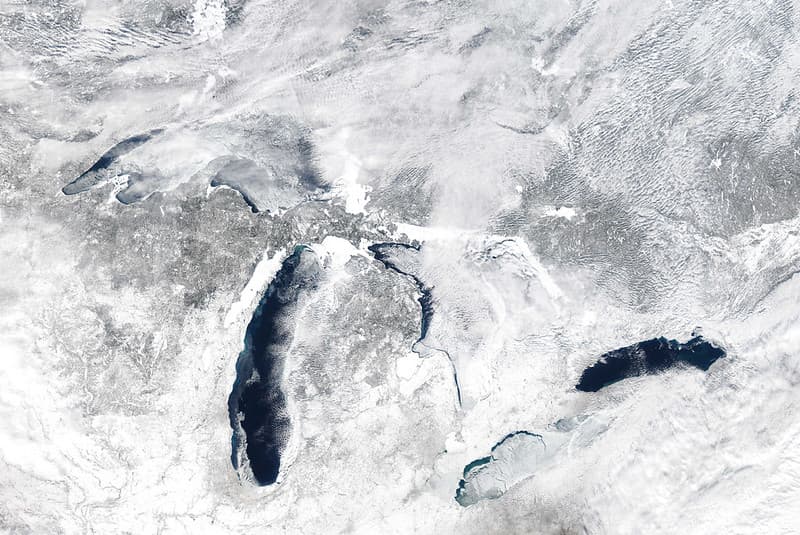
MODIS satellite image
NOAA Great Lakes Environmental Research Laboratory · 1024×685
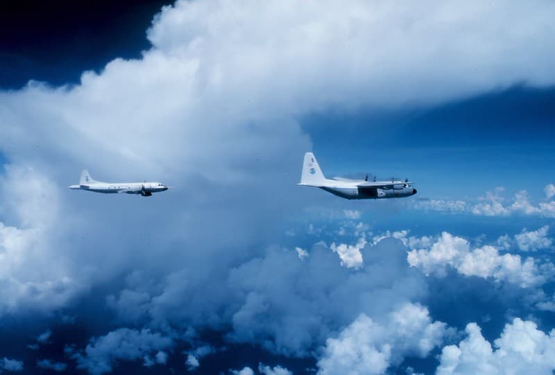
In the Clouds, 1977 (NOAA)
pingnews.com · 1024×691
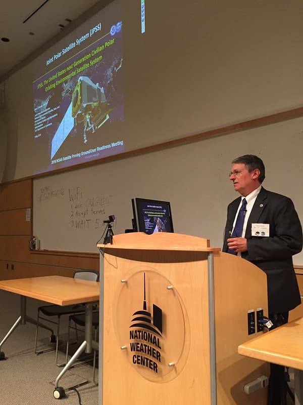
NOAA Satellite Proving Ground/User Readiness Meeting
NOAASatellites · 768×1024
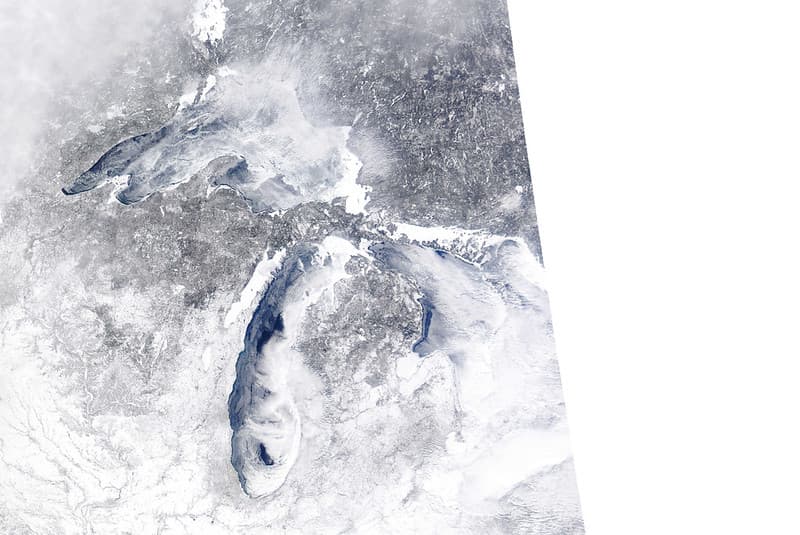
MODIS satellite image
NOAA Great Lakes Environmental Research Laboratory · 1024×685
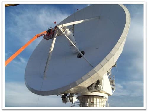
GOES-R Antenna Feed is installed at WCDAS
NOAASatellites · 500×381
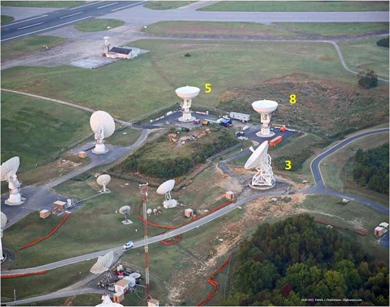
GOES-R Antenna Sites at WCDAS
NOAASatellites · 1024×807
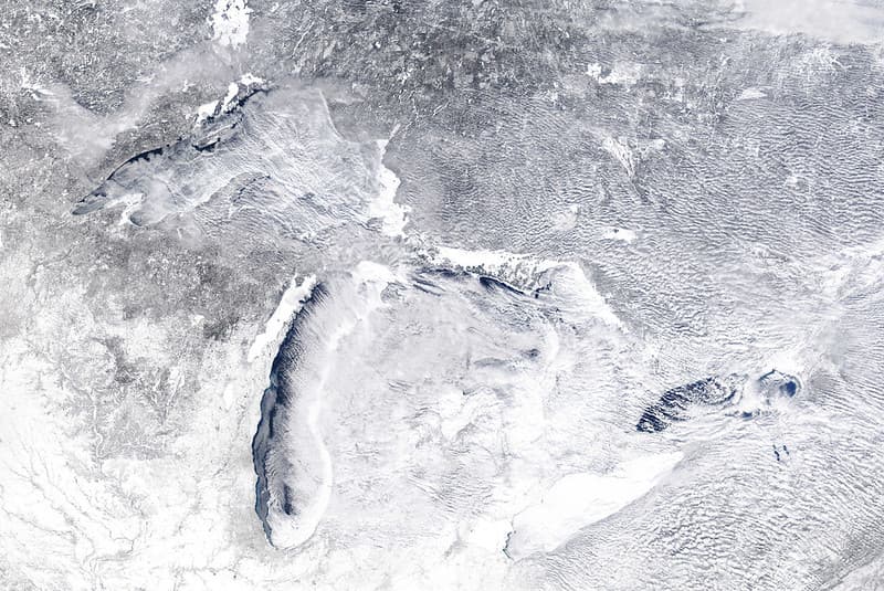
MODIS satellite image
NOAA Great Lakes Environmental Research Laboratory · 1024×685
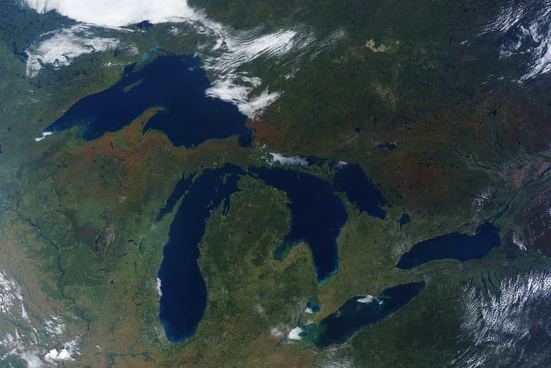
MODIS satellite image of Great Lakes
NOAA Great Lakes Environmental Research Laboratory · 1024×685
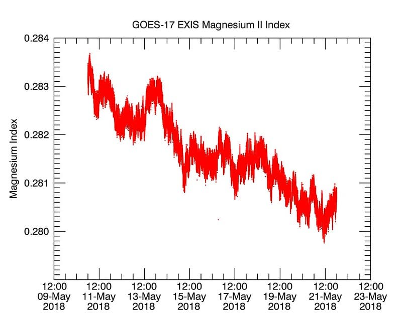
GOES-17 Shares First Data from its EXIS Instrument
NOAASatellites · 1024×819

Boulder, colorado, sensors
Environmental Science Services Administration (ESSA) · 718×545

2013 NOAA Satellite Conference
NOAASatellites · 1024×683
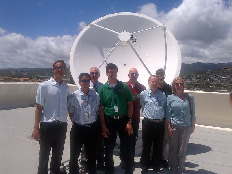
NOAA Satellites 2014 OCONUS Proving Ground Meeting
NOAASatellites · 1024×768
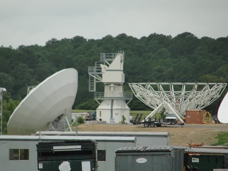
GOES-R W-2 Antenna under Construction at WCDAS
NOAASatellites · 1024×768
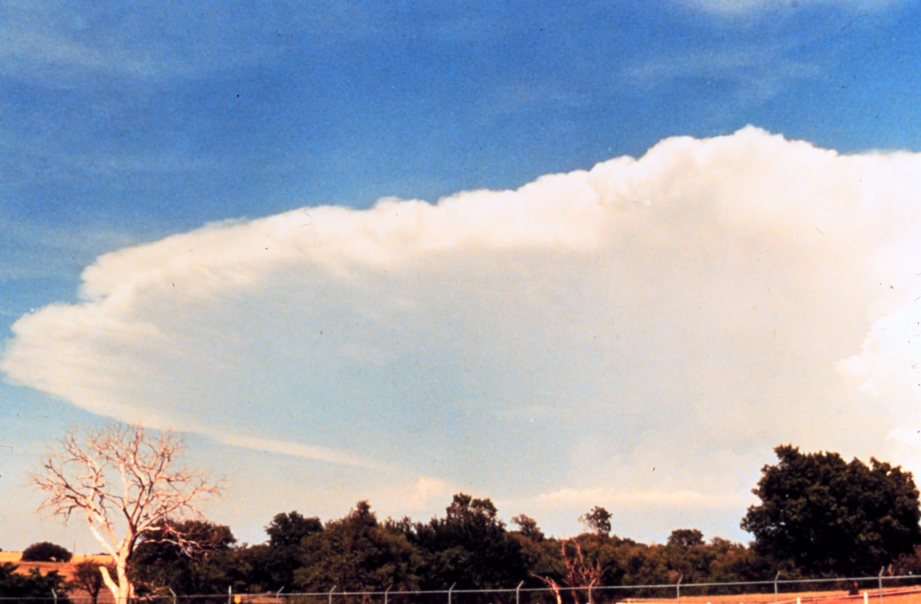
Cumulonimbus cloud - NOAA
Unknown · 1812×1188
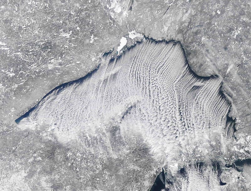
MODIS satellite image
NOAA Great Lakes Environmental Research Laboratory · 1024×777
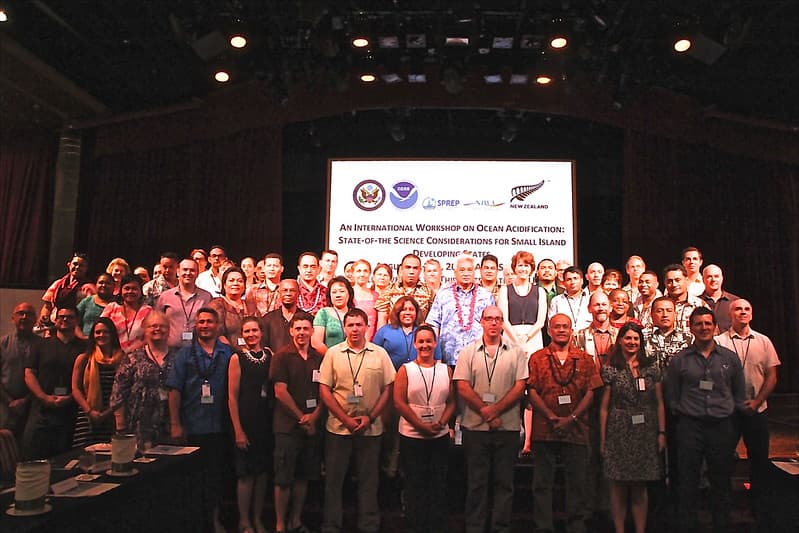
Ocean Acidification Workshop
US Embassy New Zealand · 1024×683
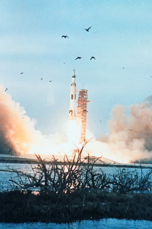
NOAA Satellite Launch, ca. 1965
pingnews.com · 682×1024

Hurricane Agnes Satellite imagery, June 22, 1972
National Hurricane Center · 4292×2953
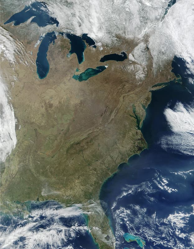
Great Lakes Basin MODIS satellite image
NOAA Great Lakes Environmental Research Laboratory · 797×1024
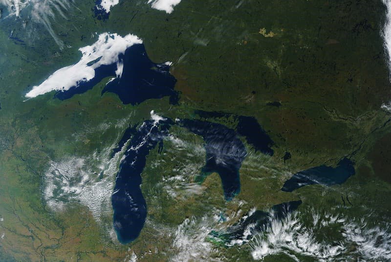
MODIS satellite image
NOAA Great Lakes Environmental Research Laboratory · 1024×685
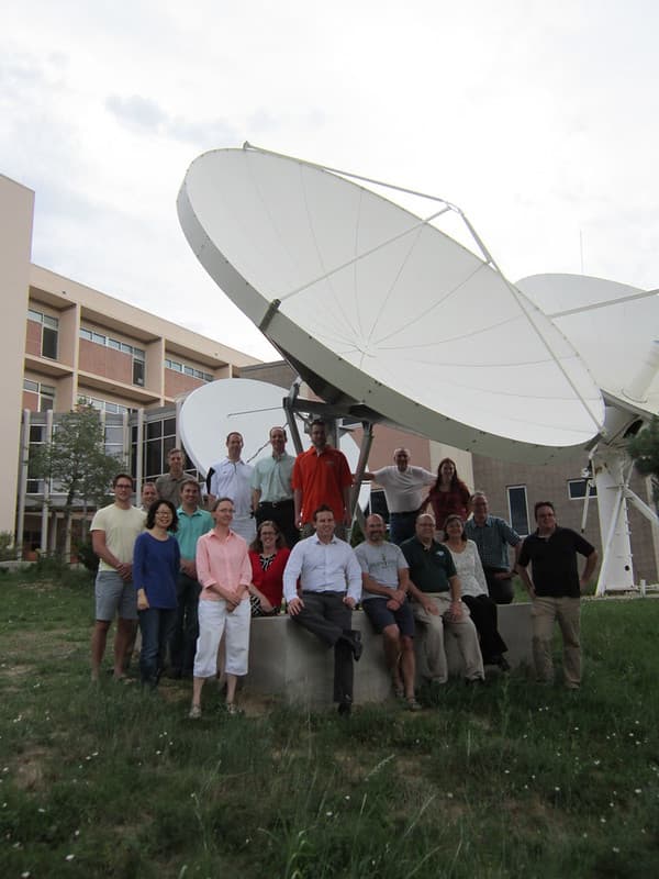
New GOES-R Antenna at CIRA
NOAASatellites · 768×1024

2015 NOAA Satellite Conference
NOAASatellites · 1024×683
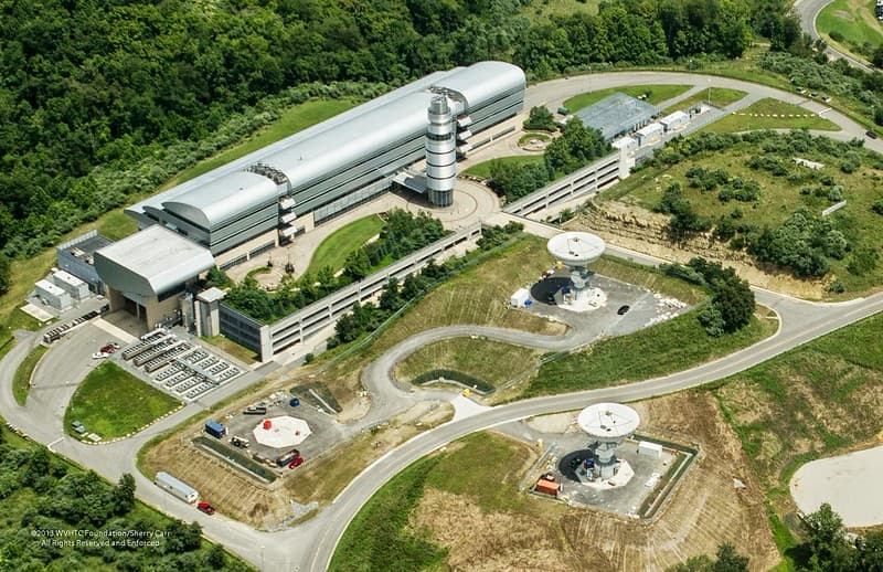
CBU GOES-R Antenna Sites
NOAASatellites · 1024×663
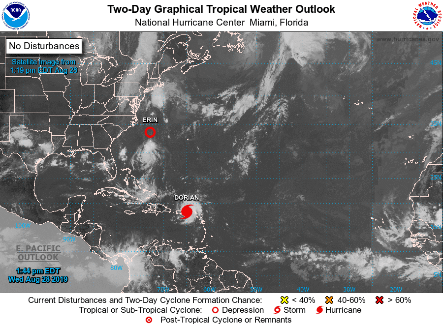
Dorian 2019-08-28 1744Z
noaa · 900×665
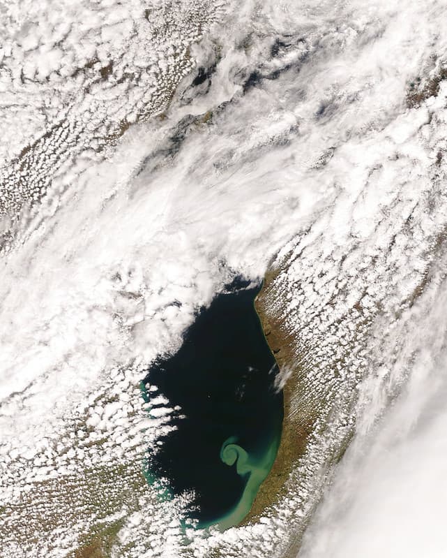
MODIS satellite image - Lake Michigan
NOAA Great Lakes Environmental Research Laboratory · 821×1024
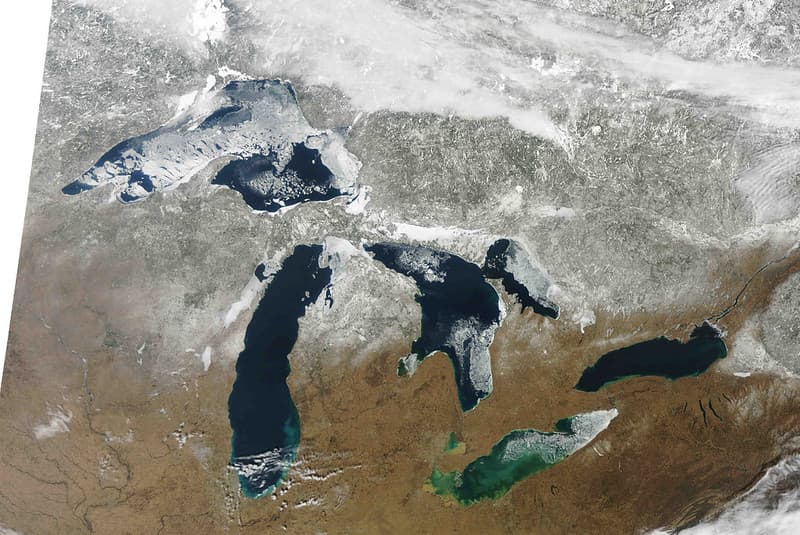
MODIS satellite image
NOAA Great Lakes Environmental Research Laboratory · 1024×685

Hurricane Agnes Satellite imagery, June 21, 1972
National Hurricane Center · 4062×2971
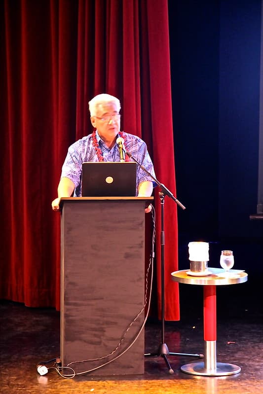
Ocean Acidification Workshop
US Embassy New Zealand · 683×1024
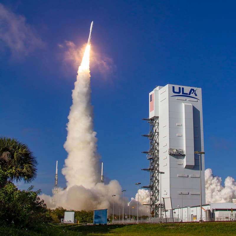
NOAA's GOES-T Satellite Launches
NOAASatellites · 1024×1024
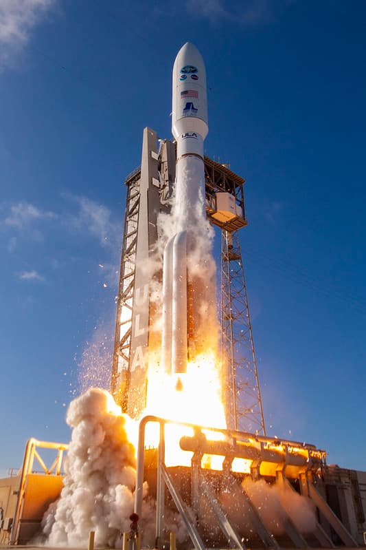
GOES-T Satellite Lifts Off
NOAASatellites · 683×1024

Saint, paul, island
Department of Commerce. National Oceanic and Atmospheric Administration. National Ocean Service. Office of Response and Restoration. Pribilof Islands Restoration Project Office. 1996-9/2008 · 3072×2304

GOES-S Transport to Kennedy Space Center
Michael Starobin/NASA/NOAA · 1280×712
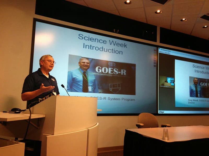
NOAA Satellite Science Week 2014
NOAASatellites · 1024×768

Aurora Borealis Spans Across North America (CIRA 2024-04-01 -)
JPSS imagery: CSU/CIRA & NOAA/NESDIS · 3050×1697

Ams, conferences, conferencesandevents
NOAASatellites · 1024×768
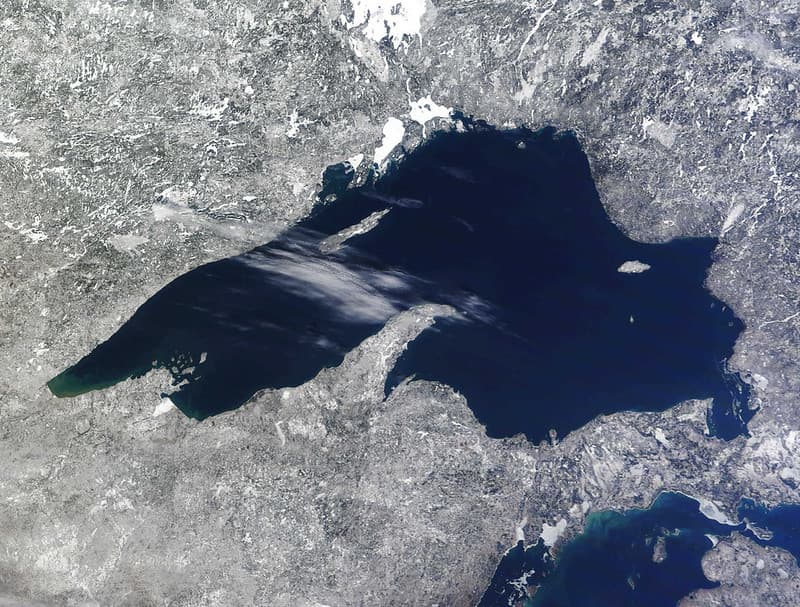
MODIS satellite image
NOAA Great Lakes Environmental Research Laboratory · 1024×777
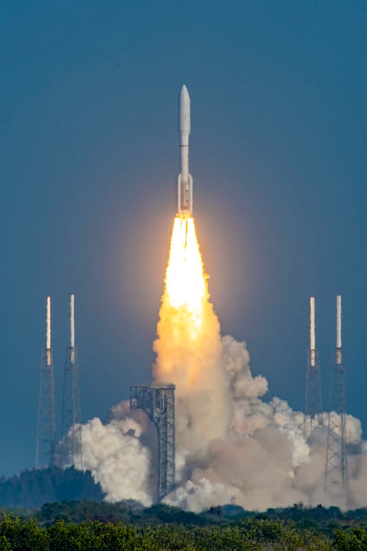
GOES-T Satellite Liftoff from SLC-41
NOAASatellites · 683×1024

Aurora Borealis Spans Across North America (CIRA 2024-04-01 - logo)
JPSS imagery: CSU/CIRA & NOAA/NESDIS · 3050×1697