Results for “satellite”
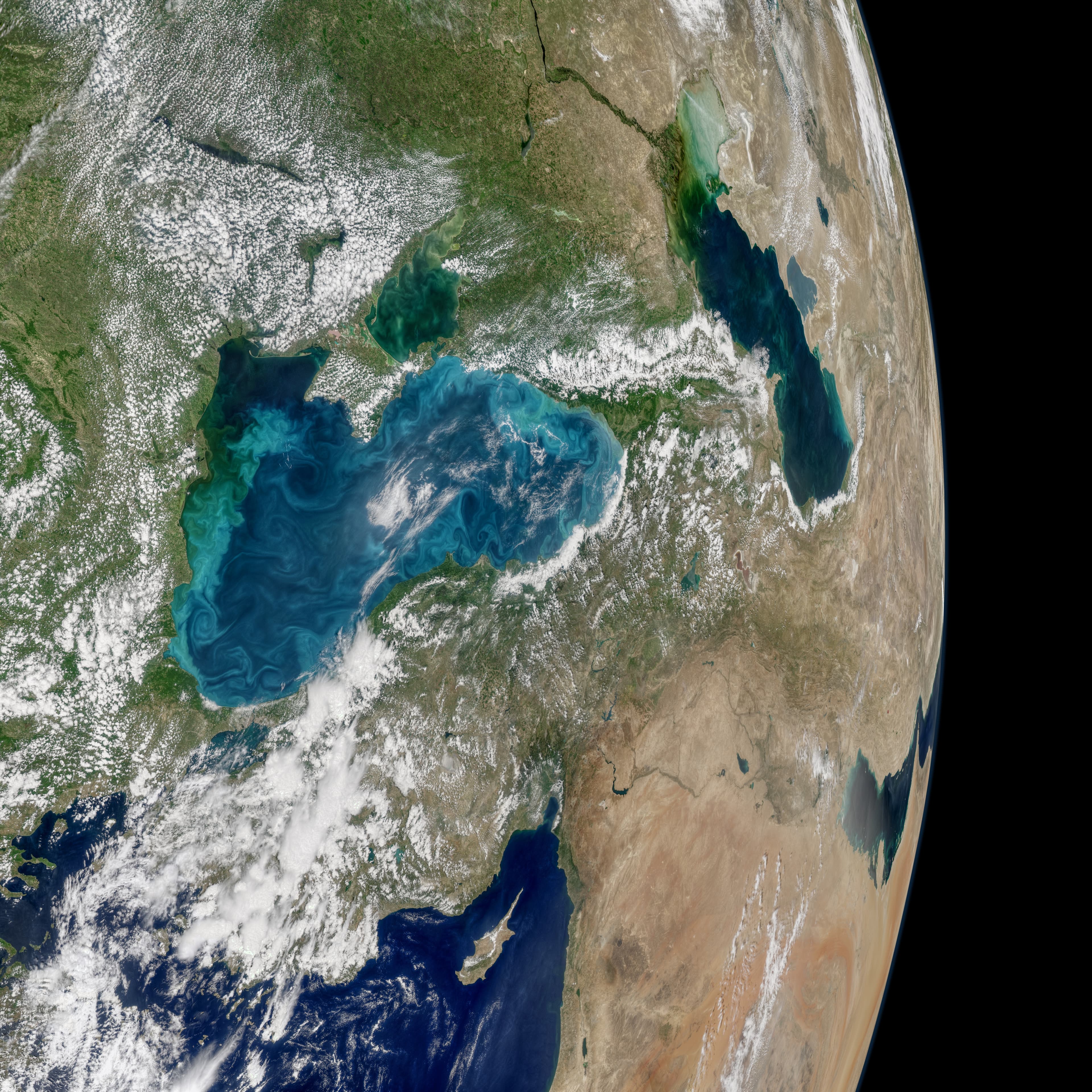
Turquoise Swirls in the Black Sea
Norman Kuring / NASA · 7000×7000

Computers, cray, avail
NASA Photo by Quentin Schwinn · 1280×1021
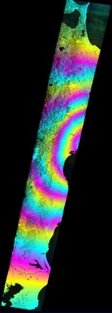
Satellite Radar Measures Tohoku, Japan Earthquake
ESA/NASA/JPL-Caltech ARIA Project · 461×1280

Dunes on Titan compared with similar dunes on Earth (PIA15225)
NASA/JPL-Caltech (Titan); NASA/GSFC/METI/ERSDAC/JAROS and U.S./Japan ASTER Science Team (Earth) · 1770×1026

Pegasus XL CYGNSS Departure from VAFB
NASA/Randy Beaudoin · 1280×853
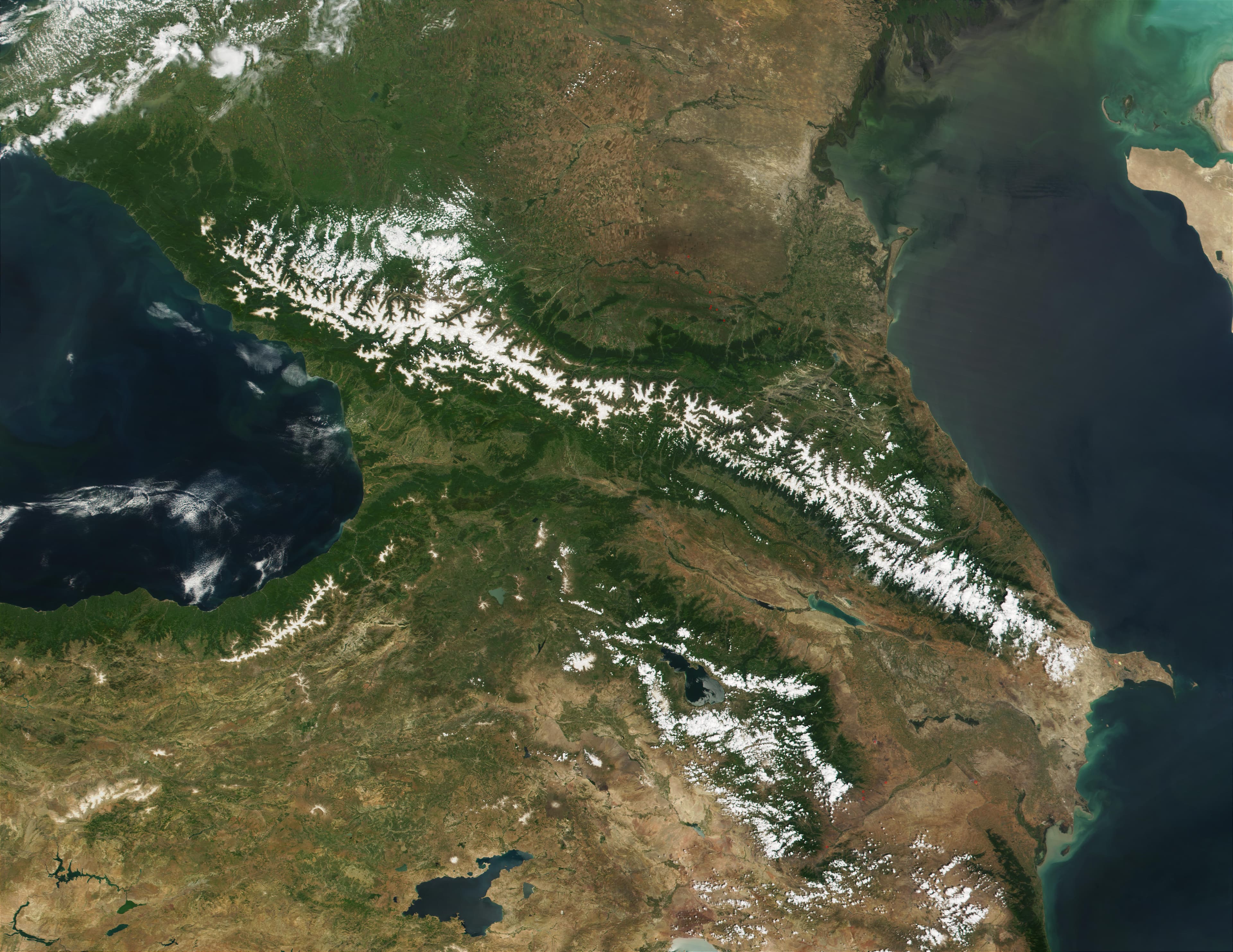
Kaukasus
NASA/MODIS - Jacques Descloitres, MODIS Land Rapid Response Team · 4400×3400
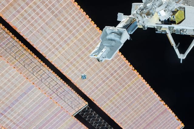
JEMRMS Small Satellite Deployment observation
Samantha Cristoforetti · 1279×851
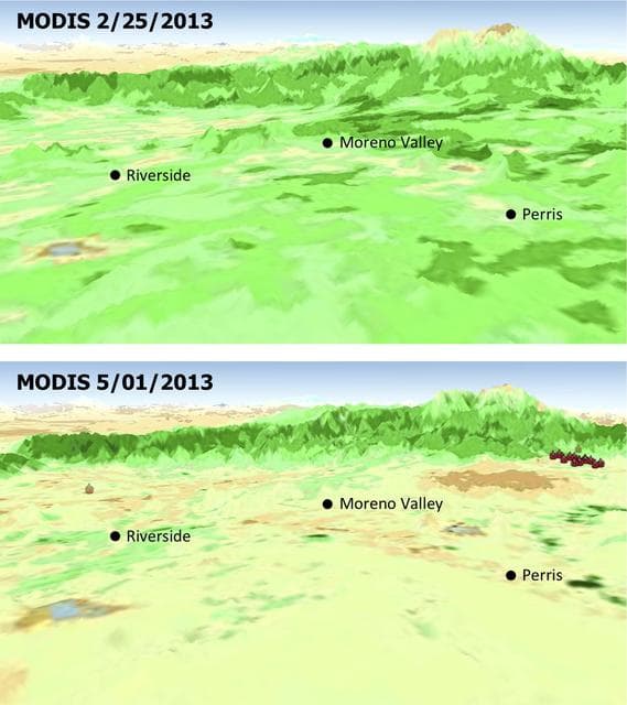
MODIS Satellite See Double Jeopardy for Socal Fire Season
NASA/JPL-Caltech/U.S. Forest Service · 1138×1280

100' Satellite Packaging of Echo
NASA, Taub and Cross · 1280×984

One Web Satellites Ground Breaking
NASA/Kim Shiflett · 1280×853
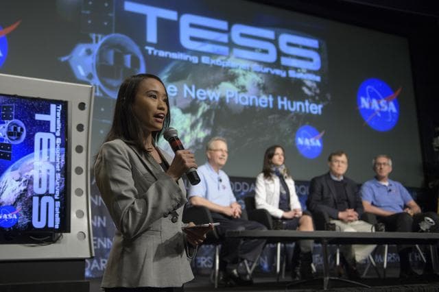
Transiting Exoplanet Survey Satellite (TESS) Briefing
NASA/Bill Ingalls · 1280×853

NASA Satellite Image of Tropical Cyclone Ului
NASA/GSFC · 995×1280
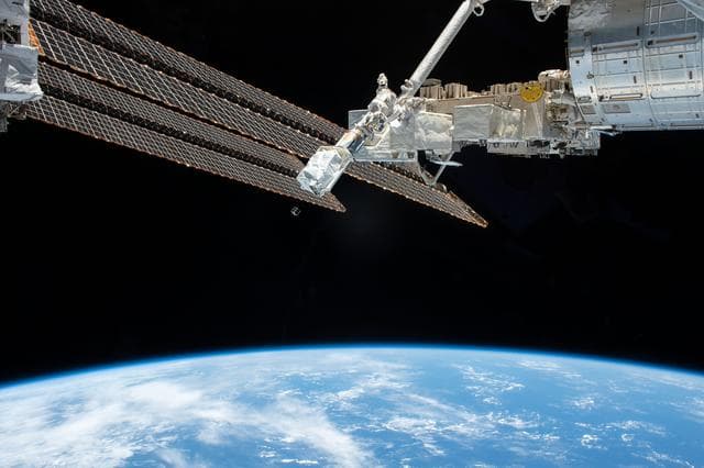
JEMRMS Small Satellite Deployment Observation
Chris Cassidy · 1280×853
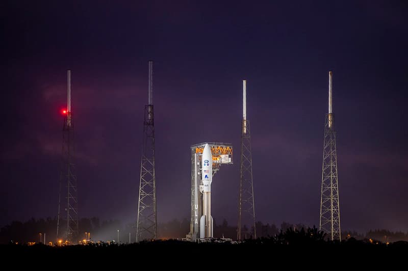
GOES-T Satellite on Launchpad
NOAASatellites · 1024×681
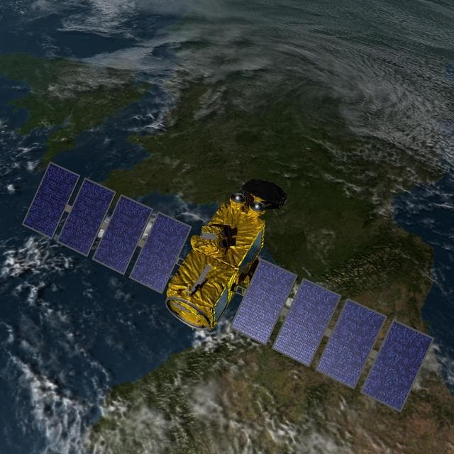
Earth, jason, artist
NASA/JPL-Caltech · 1280×1280

100' Satellite Packaging of Echo
NASA, Taub · 1280×916

Pegasus XL CYGNSS Microsats Installation on Deployment Module
NASA/Rod Speed · 854×1280
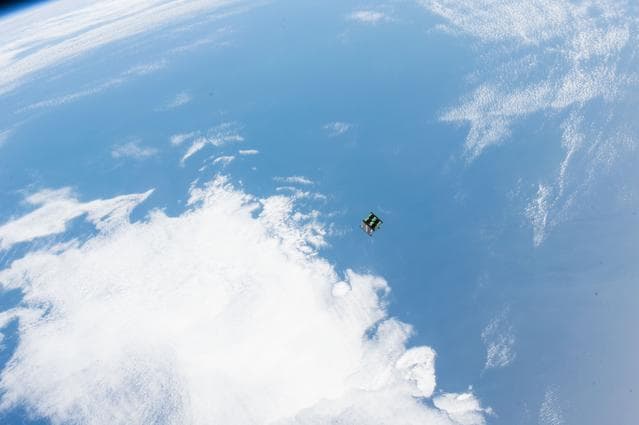
JEMRMS Small Satellite Deployment observation
Samantha Cristoforetti · 1279×851

Transiting Exoplanet Survey Satellite (TESS) Briefing
NASA/Bill Ingalls · 1280×1280
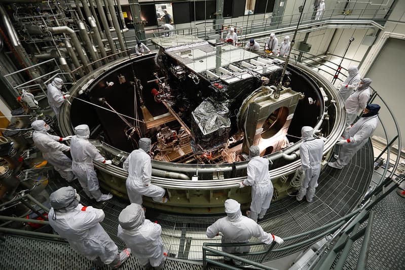
Bestof, environmentaltesting, goesr
NOAASatellites · 1024×683
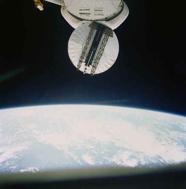
View of the Syncom IV (LEASAT) satellite deployment
NASA/JSC · 1261×1280
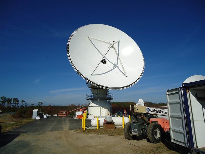
GOES-R Antenna Installation at WCDAS
NOAASatellites · 1024×768
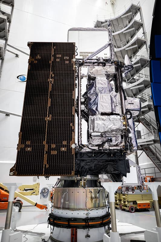
GOES-T satellite Preparing for Encapsulation
NOAASatellites · 683×1024
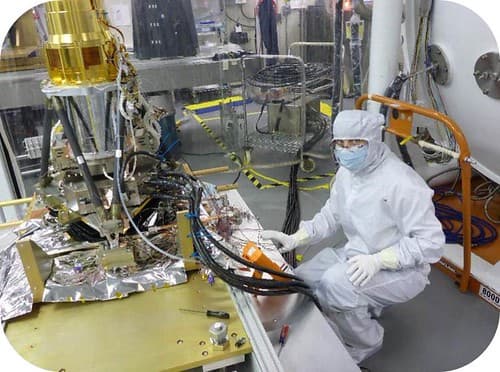
GOES-R GLM Sensor Electronics Box Installed
NOAASatellites · 500×372
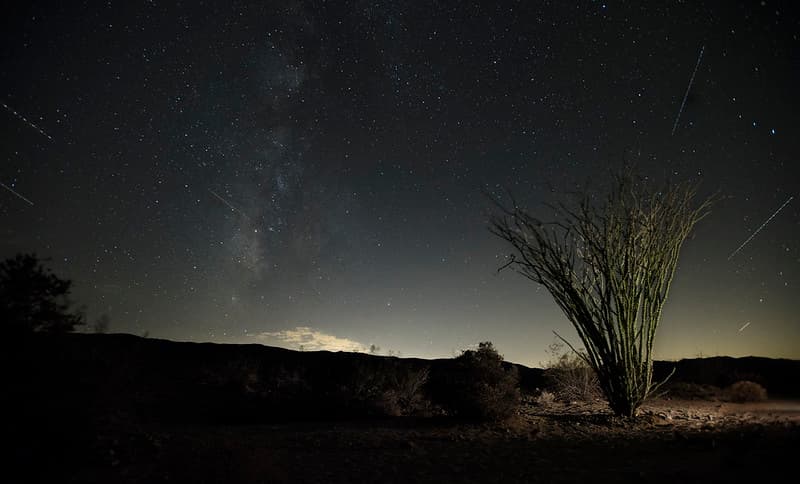
Ocotillo at night with plane and satellite streaks
Joshua Tree National Park · 1024×619
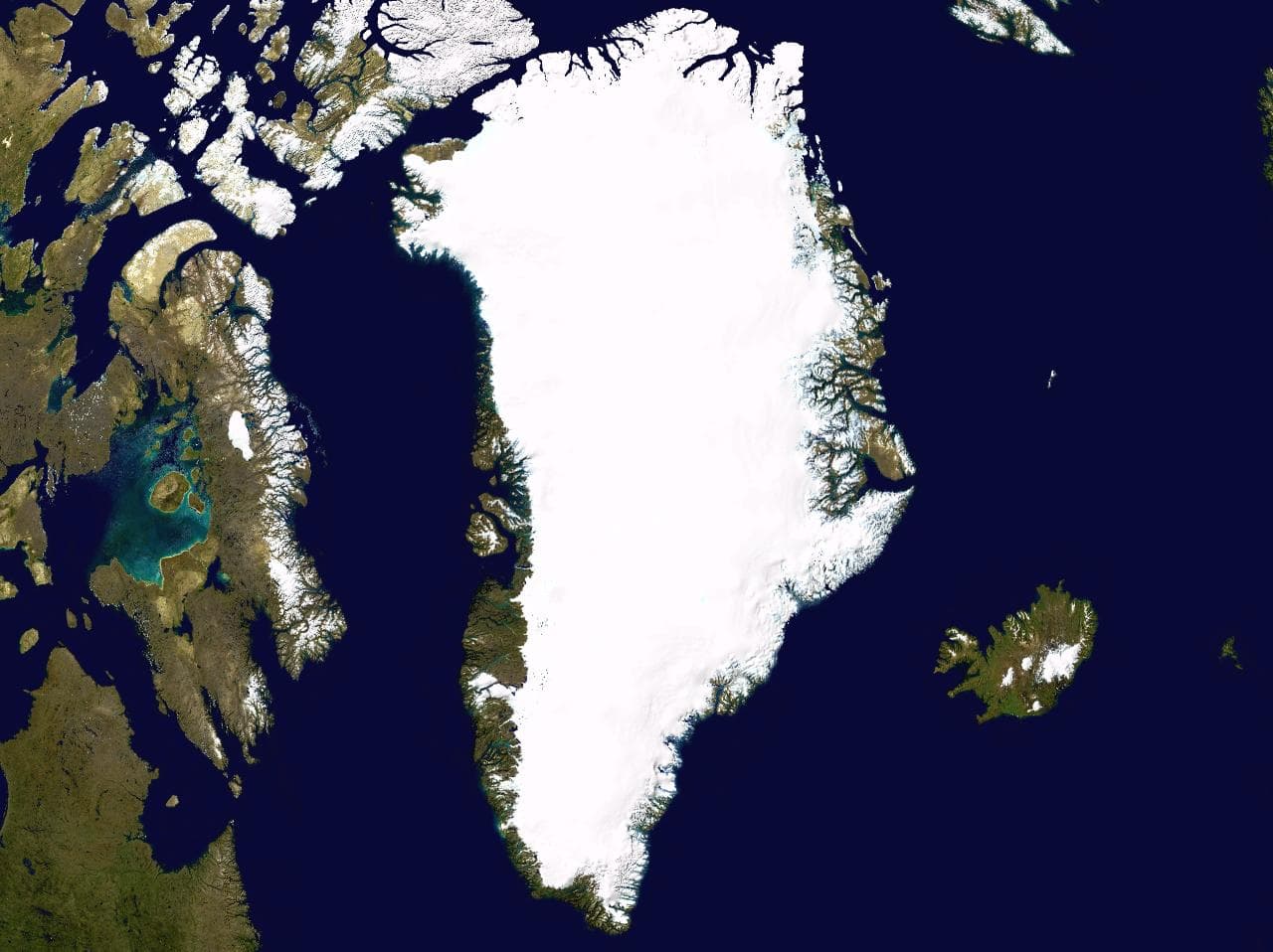
Greenland 42.74746W 71.57394N
NASA / Ames Research Center · 1280×958
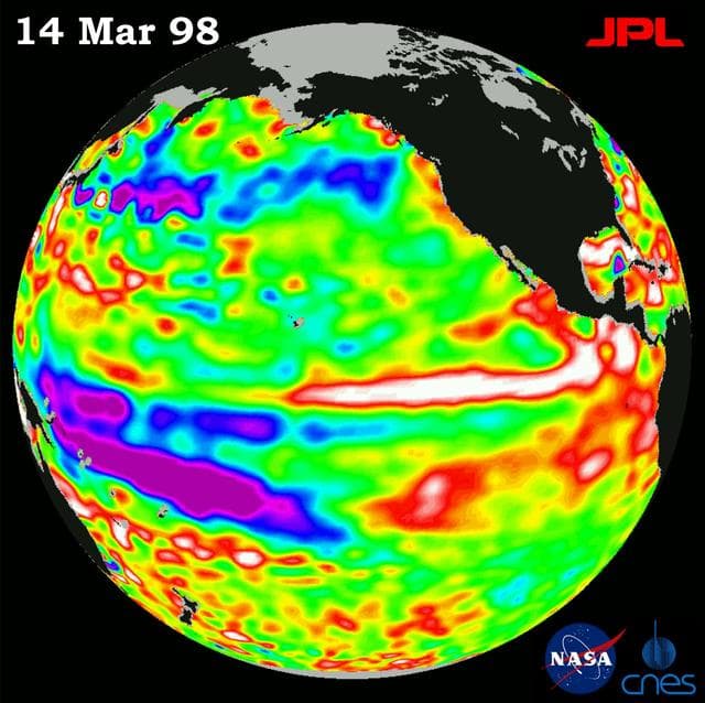
Earth, topex, poseidon
NASA/JPL · 1280×1277

Pegasus XL CYGNSS Microsats Installation on Deployment Module
NASA/Randy Beaudoin · 854×1280

100' Satellite Packaging of Echo
NASA, Taub · 1280×954
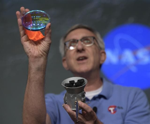
Transiting Exoplanet Survey Satellite (TESS) Briefing
NASA/Bill Ingalls · 1280×1057
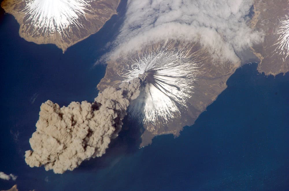
MtCleveland ISS013-E-24184
ISS Crew Earth Observations experiment and the Image Science & Analysis Group, Johnson Space Center. · 1000×662

Free antenna image
Unknown · 5472×3648
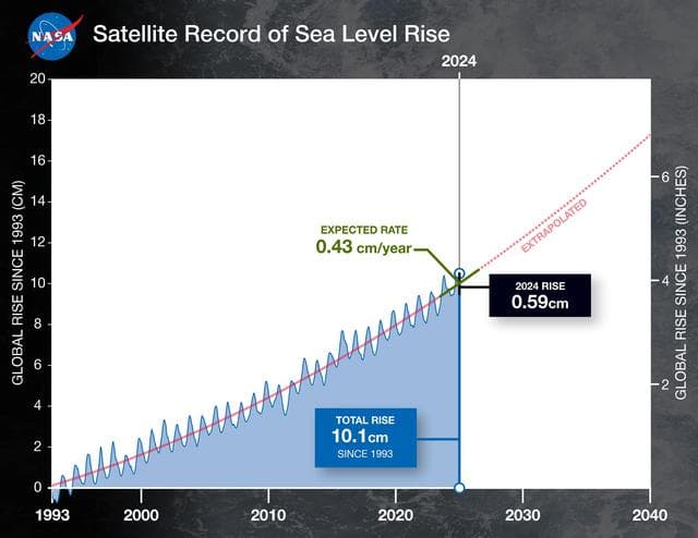
Satellite Record of Sea Level Rise From 1993 to 2024
NASA/JPL-Caltech · 1280×989
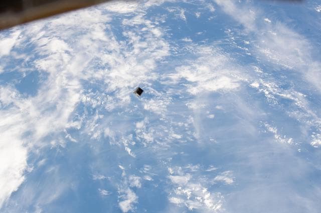
JEMRMS Small Satellite Deployment Observation
Chris Cassidy · 1280×853
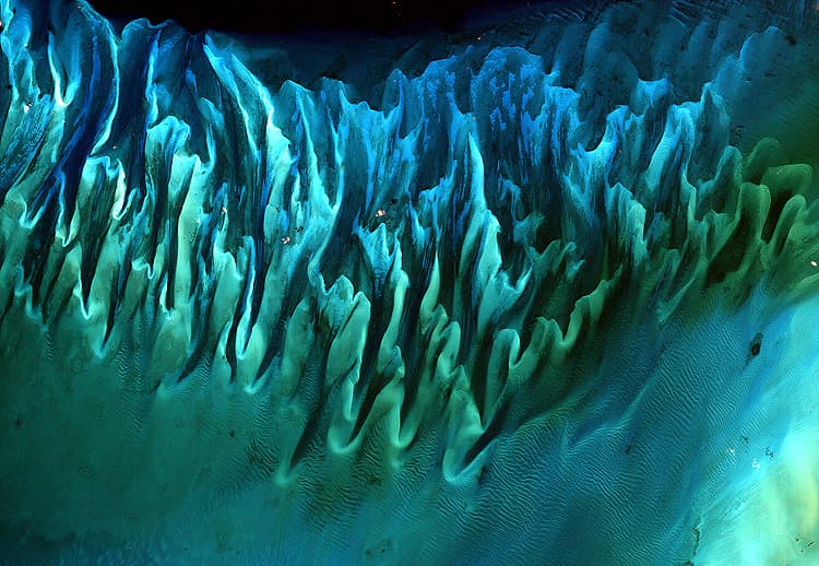
Ocean Sand, Bahamas (5638320778)
NASA Goddard Space Flight Center from Greenbelt, MD, USA · 750×518
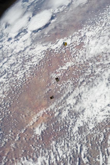
Small Cube Satellite Deploy
NASA/JSC · 851×1280
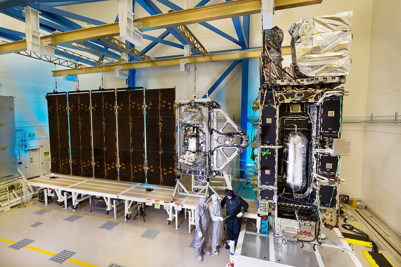
Assembled and Integrated GOES-R Satellite
NOAASatellites · 1024×683
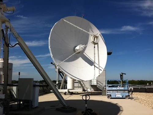
Antenna System Upgrades at NSOF
NOAASatellites · 500×374
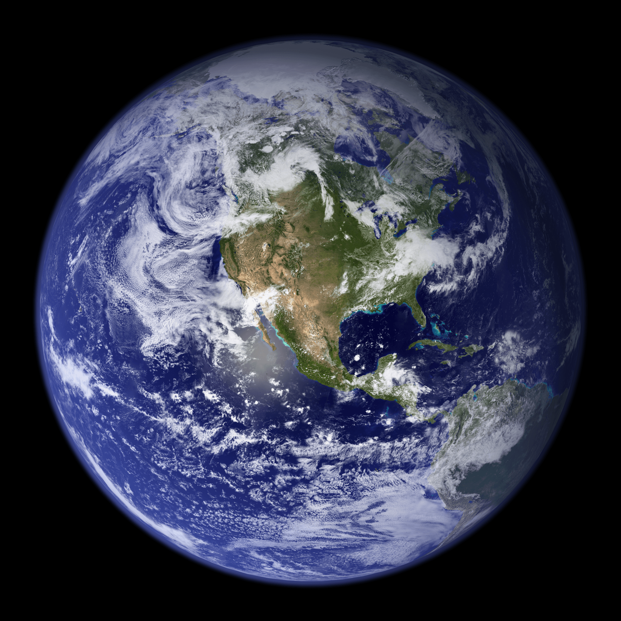
Earth Western Hemisphere 2002
Reto Stöckli (land surface, shallow water, clouds) Robert Simmon (enhancements: ocean color, compositing, 3D globes, animation) Data and technical support: MODIS Land Group; MODIS Science Data Support Team; MODIS Atmosphere Group; MODIS Ocean Group Additional data: USGS EROS Data Center (topography); USGS Terrestrial Remote Sensing Flagstaff Field Center (Antarctica); Defense Meteorological Satellite Program (city lights). · 2048×2048
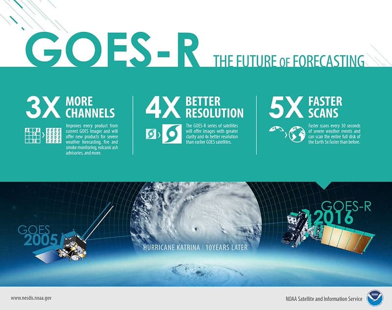
10 Years Later: Remarkable Weather Satellite Advances
NOAA Images · 1024×810