Results for “ice”

Delta II ICESat-2 Solar Array First Motion Test
USAF 30th Space Wing/Timothy Tre · 854×1280

Sampling Melt Ponds
NASA/GSFC · 1280×853
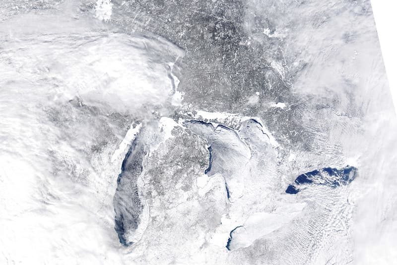
MODIS satellite image
NOAA Great Lakes Environmental Research Laboratory · 1024×685
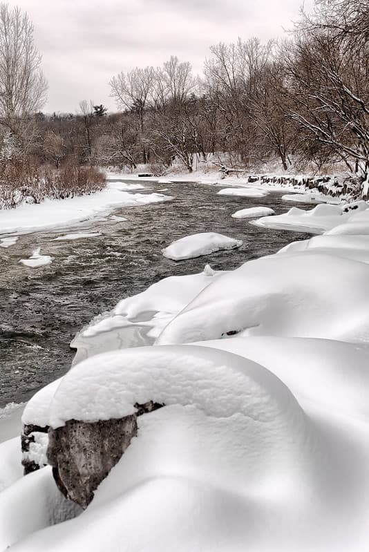
Credit River, Mississauga
Mustang Joe · 684×1024
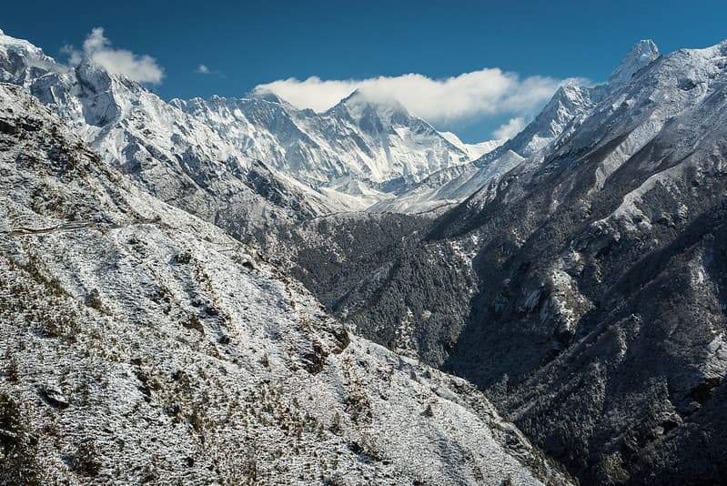
Mount Everest Mountain Landscape
Image Catalog · 1024×684
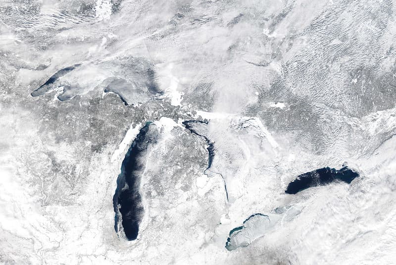
MODIS satellite image
NOAA Great Lakes Environmental Research Laboratory · 1024×685

Melt Pond Optics
NASA/GSFC · 1280×853

Trendy curry restaurant in the basement of PARCO 4
Syced · 3072×4080
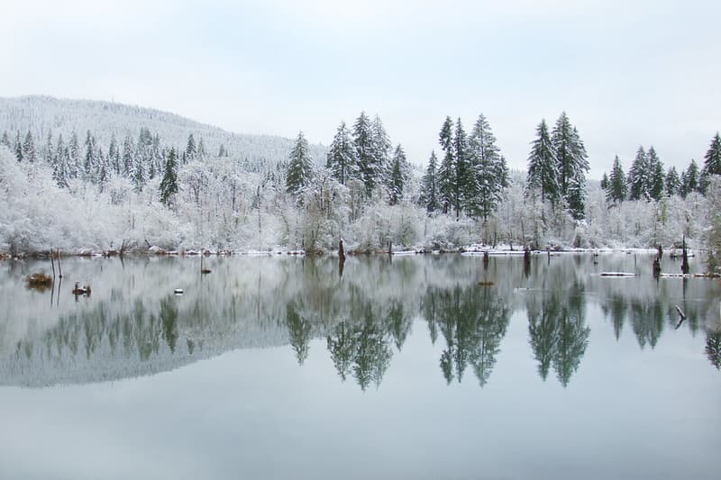
Frozen trees reflecting on pond, Coastal Range, Oregon
Bonnie Moreland (free images) · 1024×682
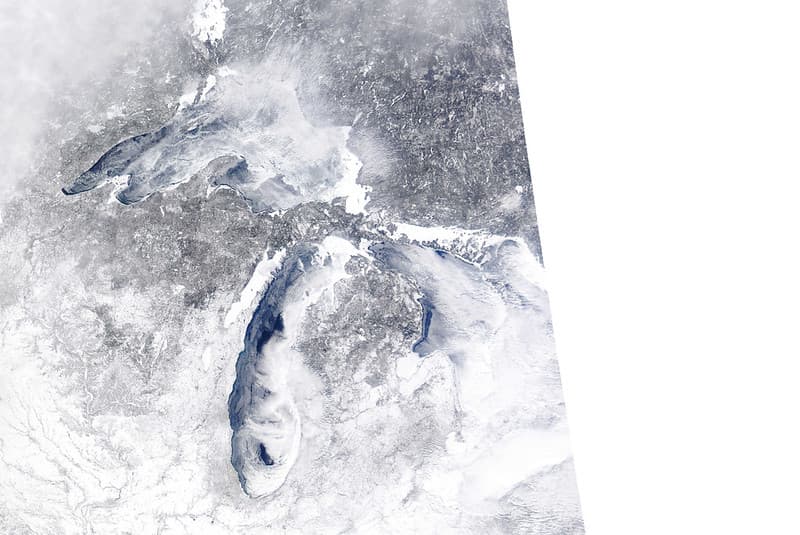
MODIS satellite image
NOAA Great Lakes Environmental Research Laboratory · 1024×685
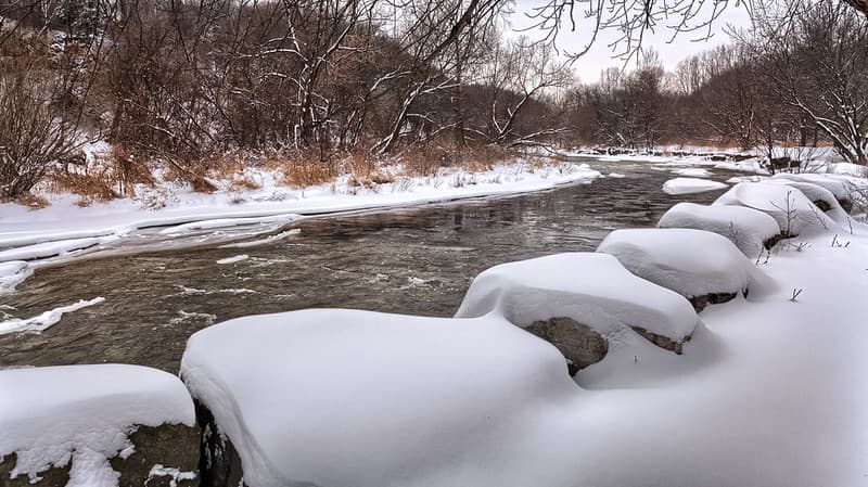
Snowfall on the Credit River
Mustang Joe · 1024×574
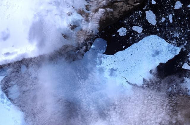
Ice Island Calves off Petermann Glacier
NASA/GSFC · 1280×847
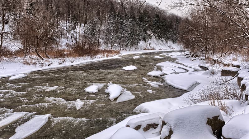
The Credit River, Mississauga
Mustang Joe · 1024×575
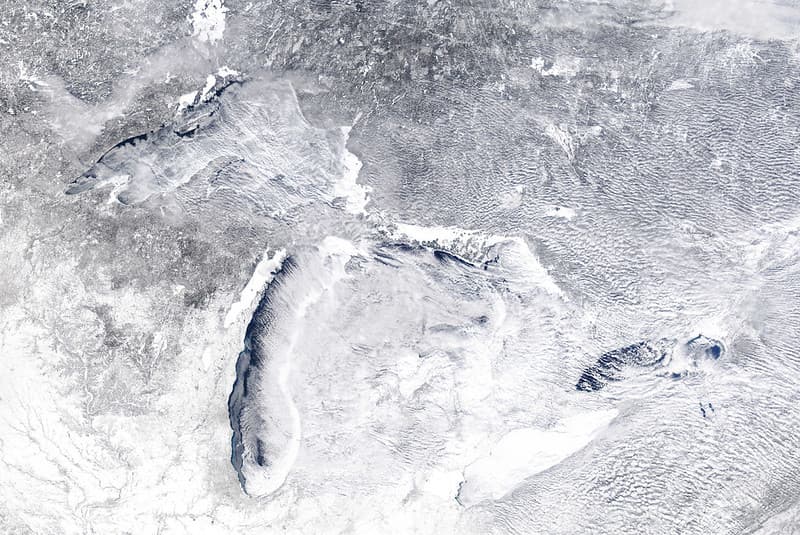
MODIS satellite image
NOAA Great Lakes Environmental Research Laboratory · 1024×685
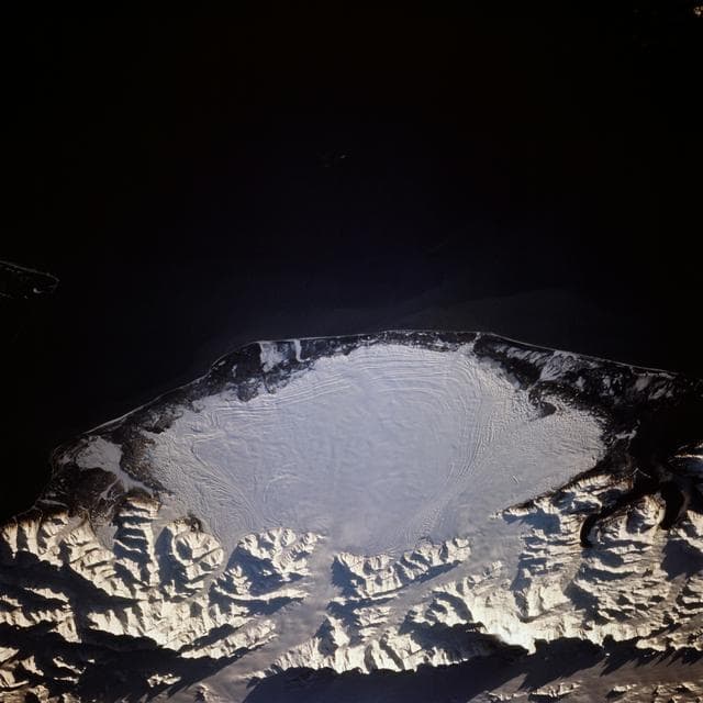
Malaspina Glacier, Alaska as seen from STS-66 Atlantis
NASA/JSC · 1280×1280
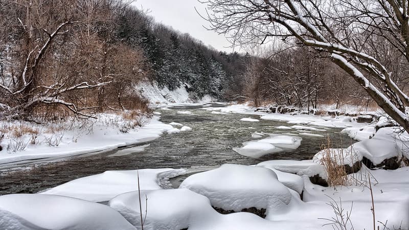
The Credit River, Mississauga
Mustang Joe · 1024×575
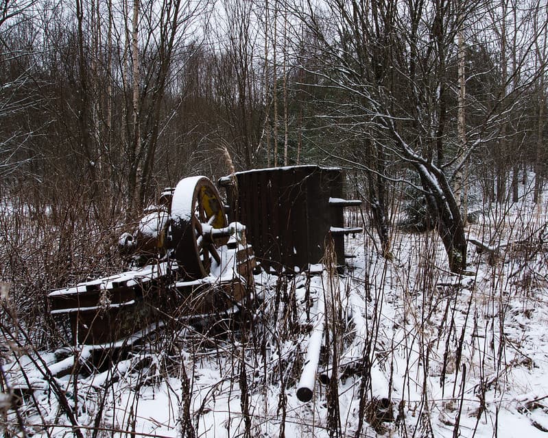
Antique excavation gear in a forest.
Ranta Janne · 1024×819
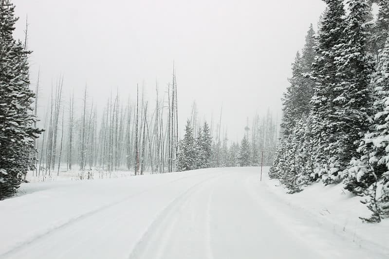
North of Roaring Mountain
YellowstoneNPS · 1024×683
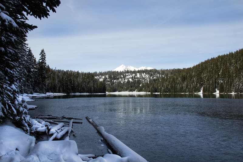
Todd Lake and Broken Top, Oregon
Bonnie Moreland (free images) · 1024×682
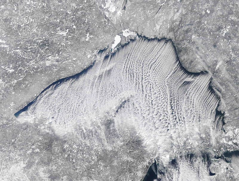
MODIS satellite image
NOAA Great Lakes Environmental Research Laboratory · 1024×777
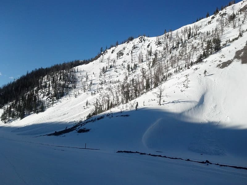
Snow slides on Sylvan Pass
YellowstoneNPS · 1024×768
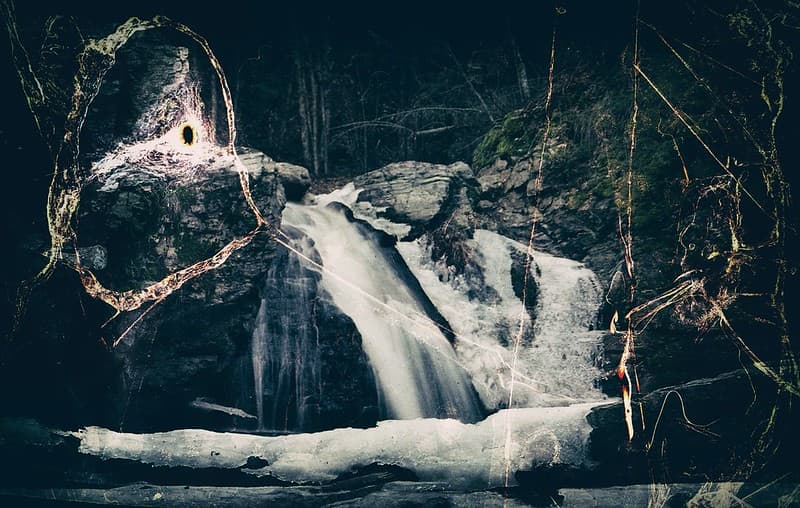
Waterfall
Crusty Da Klown · 1024×650
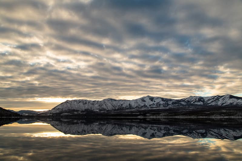
Floccus Clouds Over Apgar Mountains
GlacierNPS · 1024×683
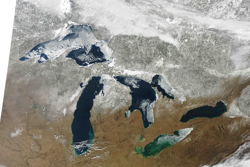
MODIS satellite image
NOAA Great Lakes Environmental Research Laboratory · 1024×685
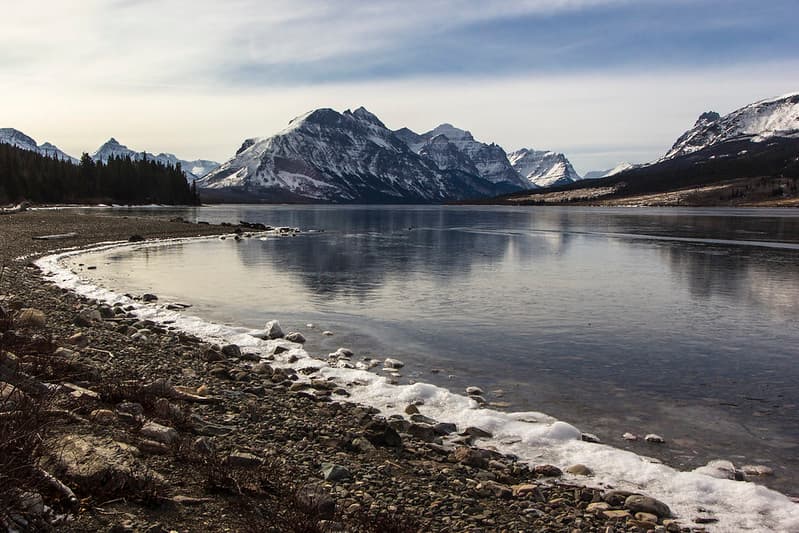
Saint Mary Lake
GlacierNPS · 1024×683
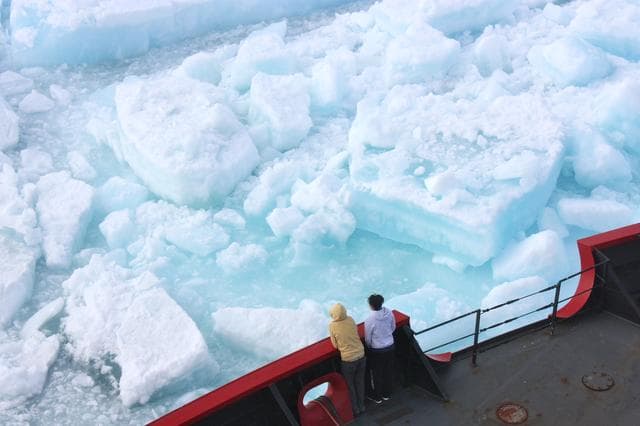
Cutting Through Multiyear Ice
NASA/GSFC · 1280×853

Antarctic Ice Shelf Loss Comes From Underneath
NASA/GSFC · 1280×960
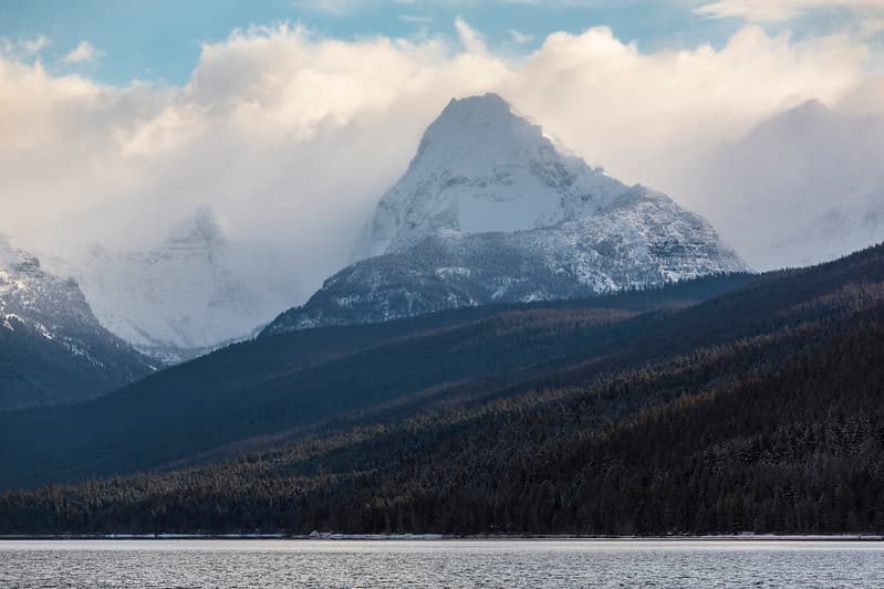
Edwards Through the Clouds
GlacierNPS · 1024×683
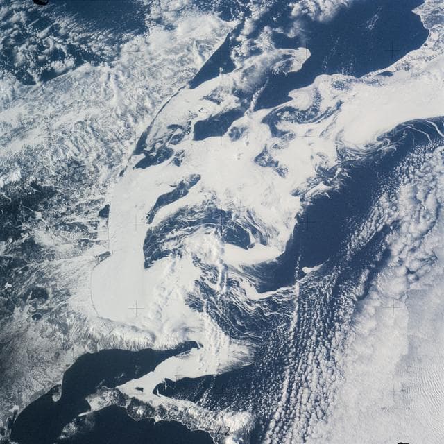
Southern part of the Sea of Okhotsk, north of Japan
NASA/JSC · 1280×1280
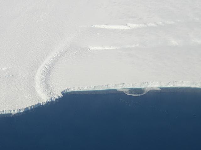
Pine Island Glacier Ice Shelf
NASA/JPL-Caltech/UC Irvine · 1280×960
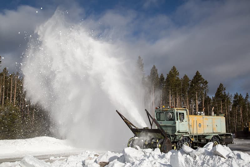
Snow blower near Norris Junction
YellowstoneNPS · 1024×683
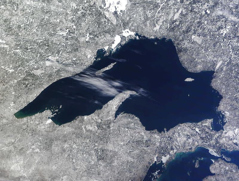
MODIS satellite image
NOAA Great Lakes Environmental Research Laboratory · 1024×777
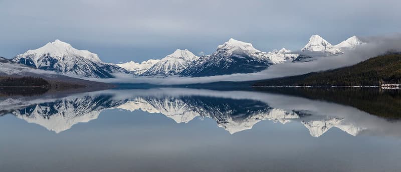
Lake McDonald 2.17.16
GlacierNPS · 1024×439
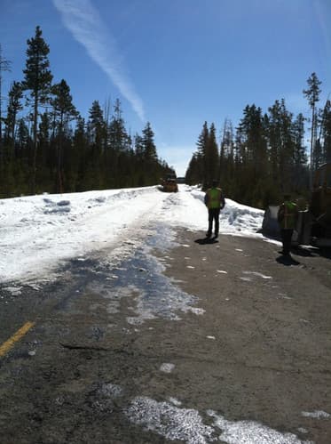
Plowing Norris to Canyon
YellowstoneNPS · 373×500

Ice fishing man (verso: upper half of a nude bearded man)
Kikkert, Jan Elias, (1843-1925), · 400×457
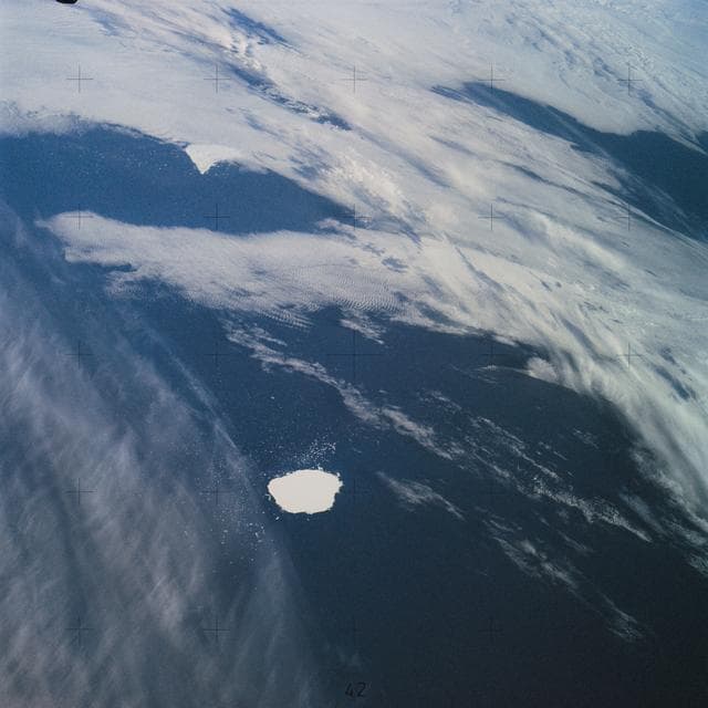
South Georgia Island in the South Atlantic Ocean
NASA/JSC · 1280×1280
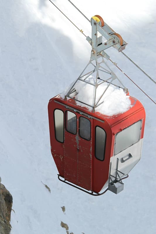
Cable car
Dious · 683×1024
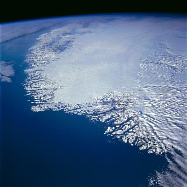
Greenland as seen by the STS-66 shuttle Atlantis
NASA/JSC · 1280×1277

Bracknell Drones Vs Swindon Academy
davidgsteadman · 1024×717
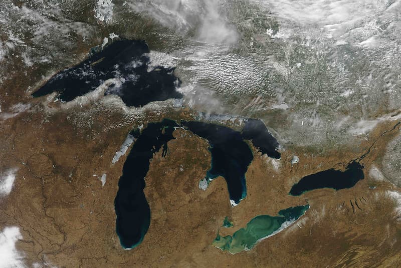
MODIS Satellite Inage
NOAA Great Lakes Environmental Research Laboratory · 1024×685