Results for “weather”

Clouds off the Aleutian Islands
NASA/GSFC · 960×1280
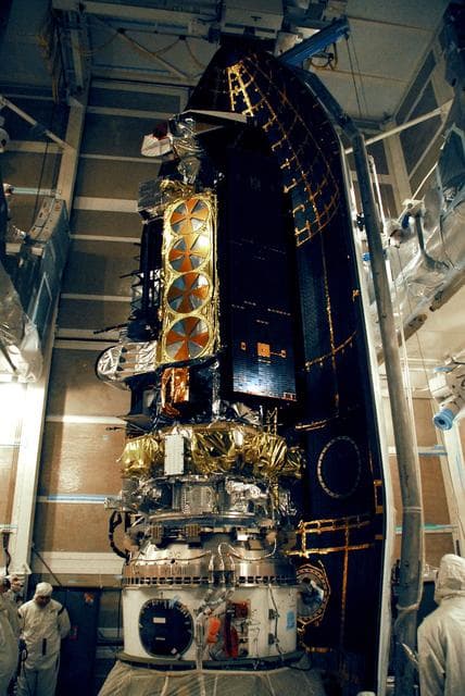
Weather, satellite, noaa
NASA/KSC · 856×1280

Maneuvering Melt Ponds
NASA/GSFC · 1280×853
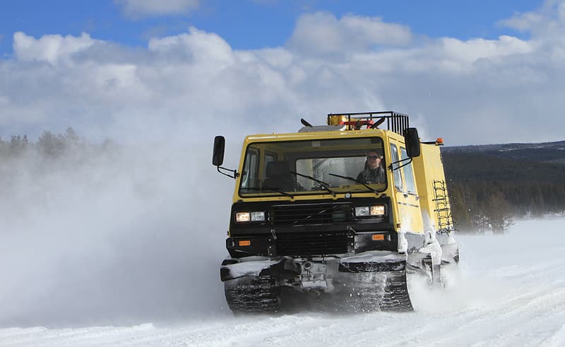
Prinoth on a luggage run across Fountain Flats
YellowstoneNPS · 1024×629

Persistent Ice on Lake Superior
NASA/GSFC · 1094×1280

Satellite Shows an "Arctic Blanket" Over the U.S.
NASA/GSFC · 1280×1280

Sunrise in New Forest
davidgsteadman · 1024×680
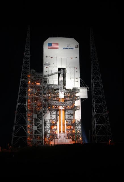
Goes, delta, weather
NASA/KSC · 875×1280

Sampling Melt Ponds
NASA/GSFC · 1280×853
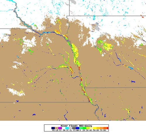
GOES-16 Monitors Record Flooding in the Midwest
NOAASatellites · 500×462

Hurricane Odile
NASA/GSFC · 989×1280

Melt Pond Optics
NASA/GSFC · 1280×853

NASA's Terra Satellite Catches Powerful Supertyphoon Megi
NASA/GSFC · 975×1280
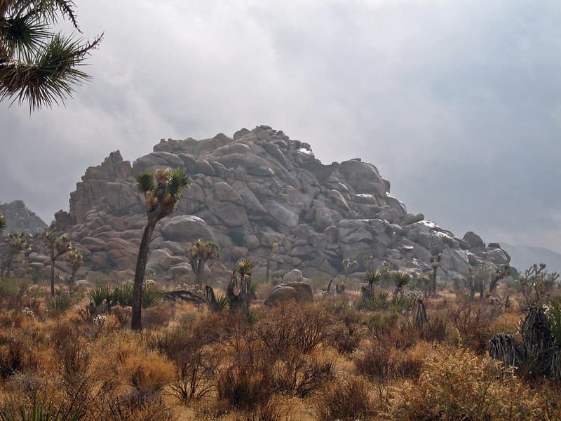
Rainstorm; Lost Horse Valley
Joshua Tree National Park · 1024×768

Hurricane Patricia over Mexico
NASA/GSFC · 980×1280

A Satellite View of a Back-door Cold Front
NASA/GSFC · 1280×1066
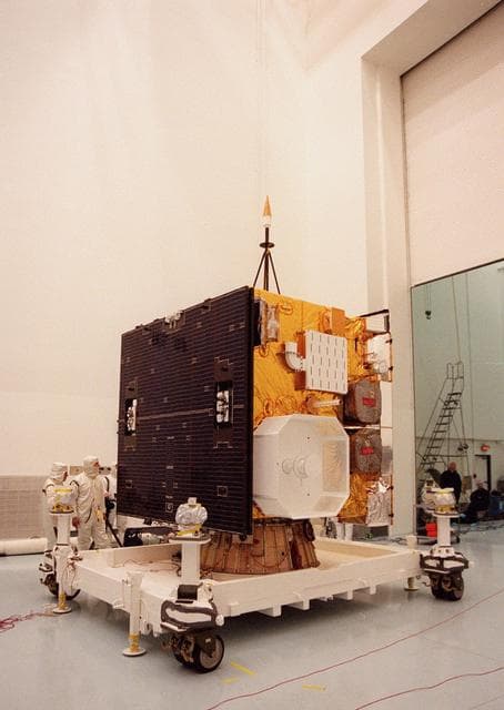
Goes, weather, satellite
NASA/KSC · 909×1280
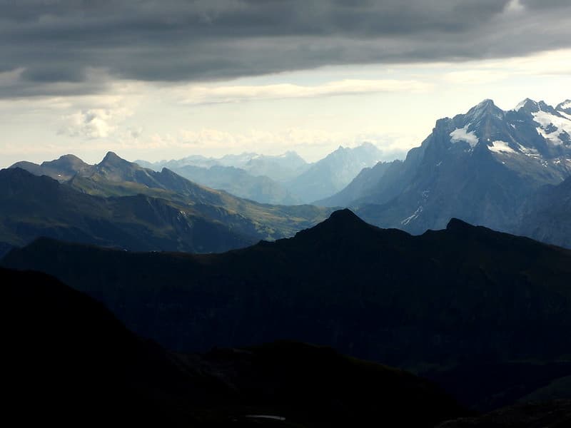
Light and Shadows
ernst.dittmar · 1024×768

Shipment of the TIRS instrument
NASA/GSFC · 1280×1192
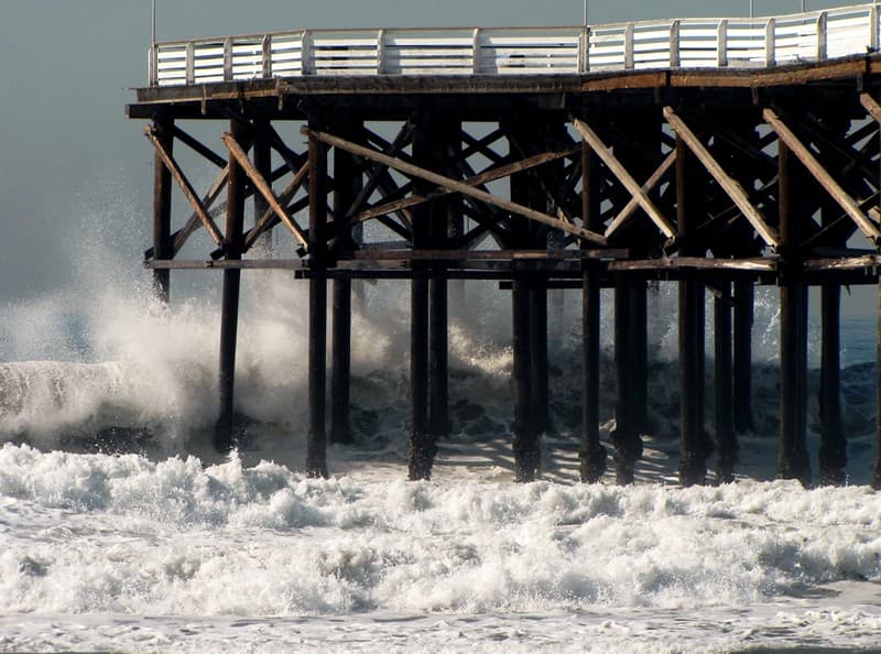
Big Wave Surge Pacific Beach Pier
moonjazz · 1024×760

Whole world - time-lapse from 2004-01 to 2004-12.gif
NASA/Goddard Space Flight Center · 1000×500

Hurricane Joaquin 9/30/15
NASA/GSFC · 1280×1066

Sad Sunflower
cogdogblog · 1024×683

Satellite Shows an "Arctic Blanket" Over the U.S. [detail]
NASA/GSFC · 1280×1066

Satellite Shows West Coast "June Gloom" and Actinoform clouds
NASA/GSFC · 1280×1066

Sunrise in New Forest
davidgsteadman · 1024×681
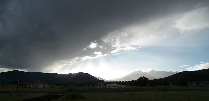
Dangerous Sky
deborah.soltesz · 1024×496
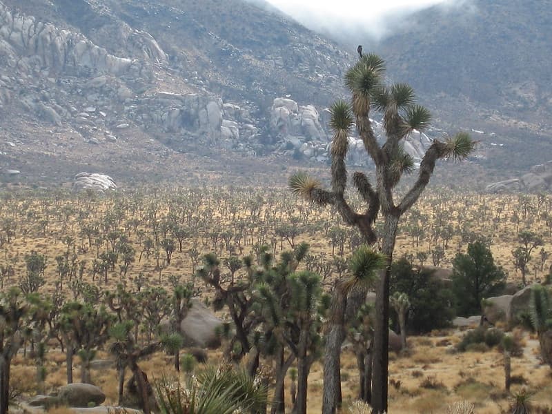
Joshua tree (Yucca brevifolia); Lost Horse Valley
Joshua Tree National Park · 1024×768

Fromabove, lamp, path
Wonderlane · 1024×681

Goes, satellite, sees
NASA/GSFC · 1280×1266
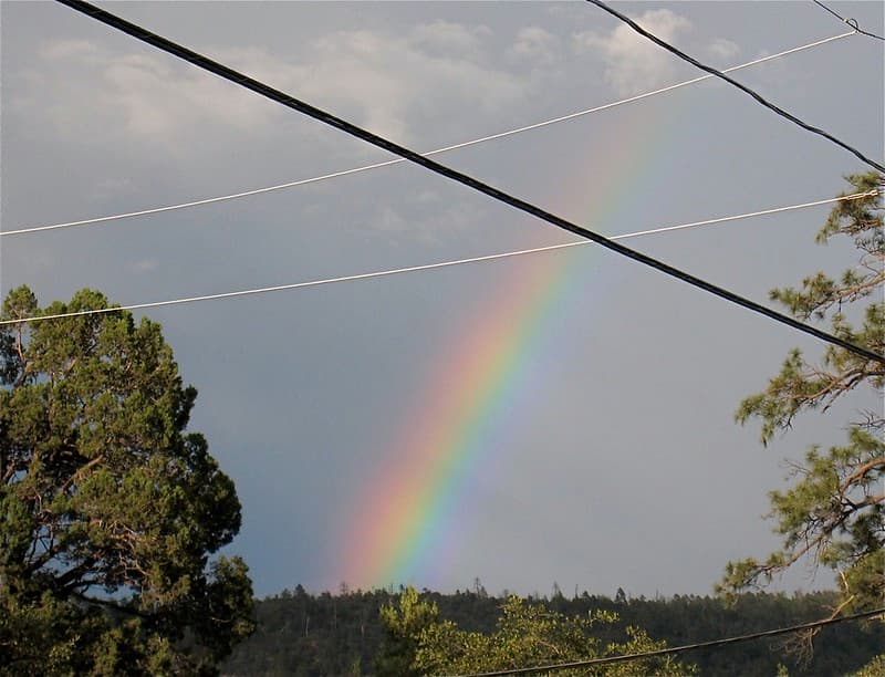
Rainbow Through the Wires
cogdogblog · 1024×783

Hurricane Joaquin 9/30/15
NASA/GSFC · 1280×1280

Greenmount Beach, Coolangatta, Australia - 1960s
Aussie~mobs · 1024×665

Hurricane Joaquin 9/30/15
NASA/GSFC · 995×1280

Cutting Through Multiyear Ice
NASA/GSFC · 1280×853

Created, adobe, elements
Fons Heijnsbroek · 4985×3751

Satellite View of the U.S. West on January 10, 2014
NASA/GSFC · 1280×1066
Väderkvarn, Uppland 1935
Sandberg, Paul · 400×547

Satellite Shows Difficult Eastern U.S. Thanksgiving Travel
NASA/GSFC · 1280×740

Hurricane Joaquin over the Bahamas
NASA/GSFC · 984×1280