Results for “sate”
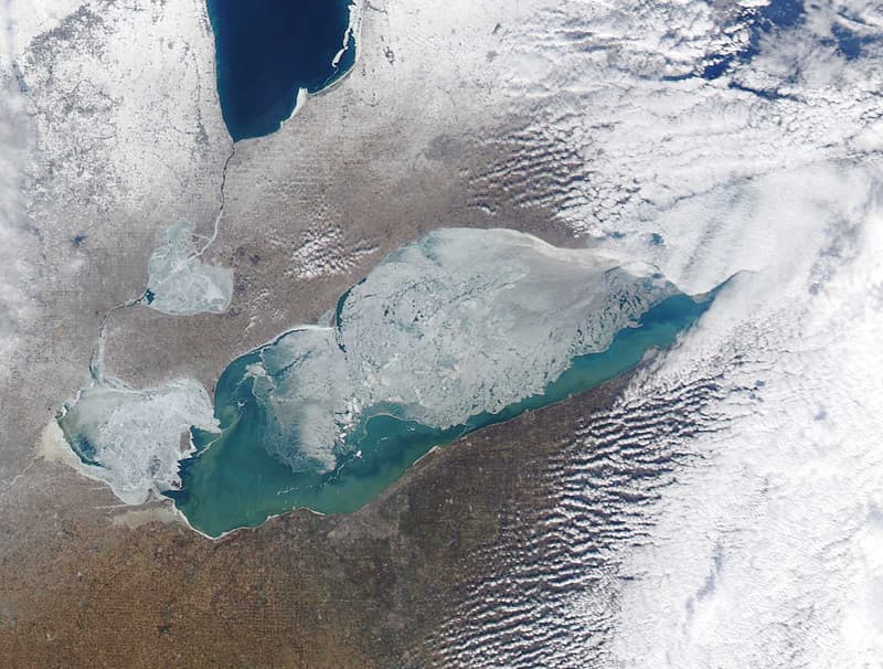
MODIS satellite image - Lake Erie
NOAA Great Lakes Environmental Research Laboratory · 1024×776
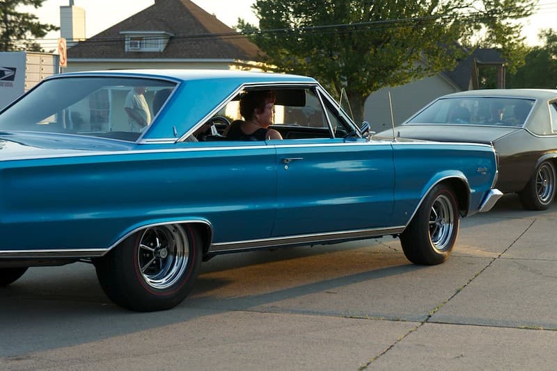
1966 Plymouth Satellite
tapztapz · 1024×683
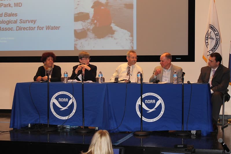
2013 NOAA Satellite Conference
NOAASatellites · 1024×683
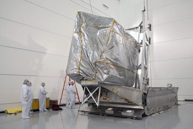
Goes, weather, satellite
NASA/KSC · 1280×856
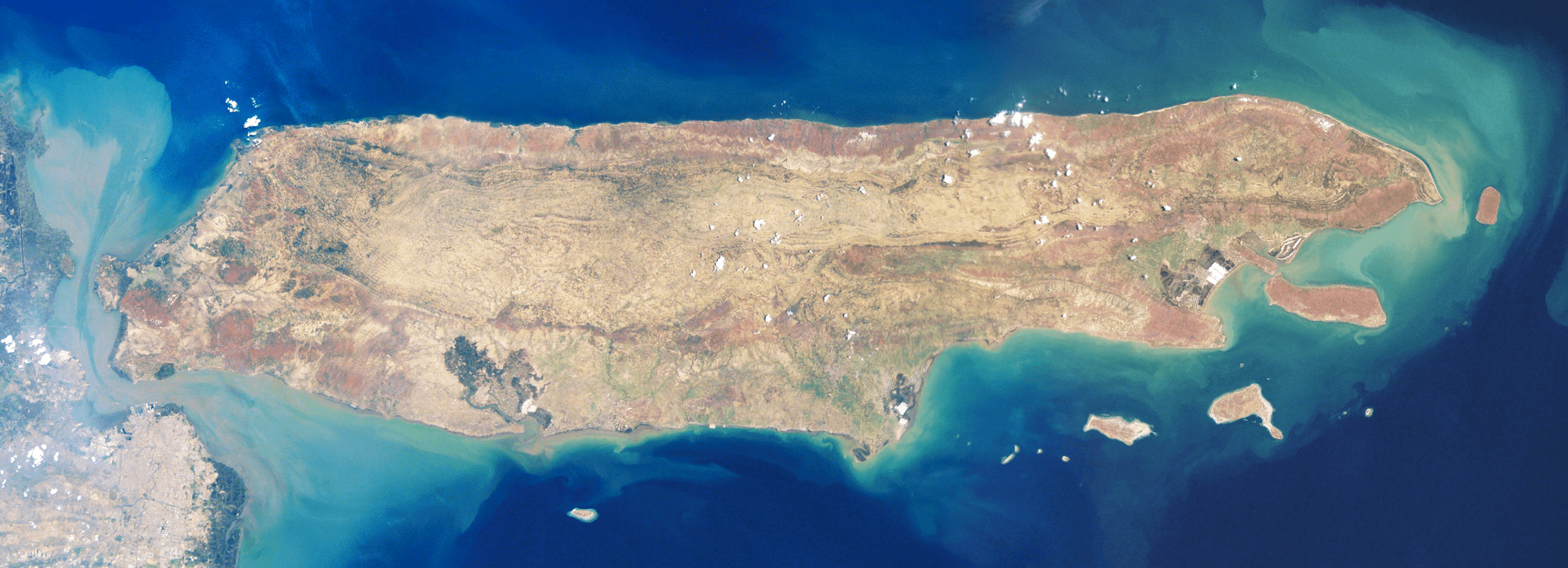
Satellite image of Madura Island
NASA · 3576×1296

NASA Satellite Captures Super Bowl Cities - Denver, CO
NASA/GSFC · 1141×1280
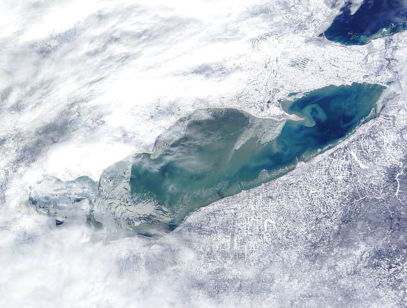
MODIS satellite image - Lake Erie
NOAA Great Lakes Environmental Research Laboratory · 1024×776

Satellite Shows Developing U.S. Nor'easter
NASA/GSFC · 1280×1280

Transiting Exoplanet Survey Satellite (TESS) Briefing
NASA/Bill Ingalls · 1280×1228
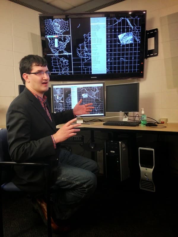
NOAA Satellite Science Week 2014
NOAASatellites · 768×1024
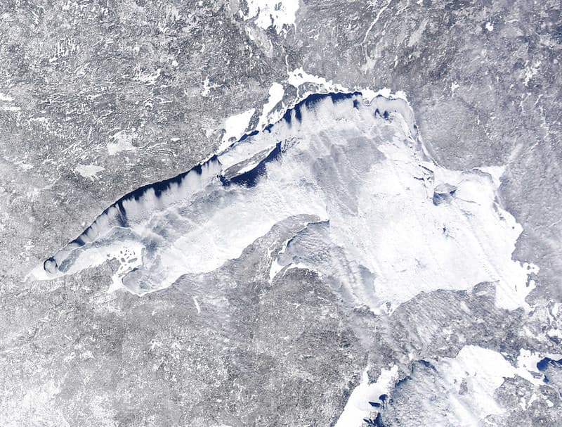
MODIS Satellite Image Lake Superior Ice Cover
NOAA Great Lakes Environmental Research Laboratory · 1024×777
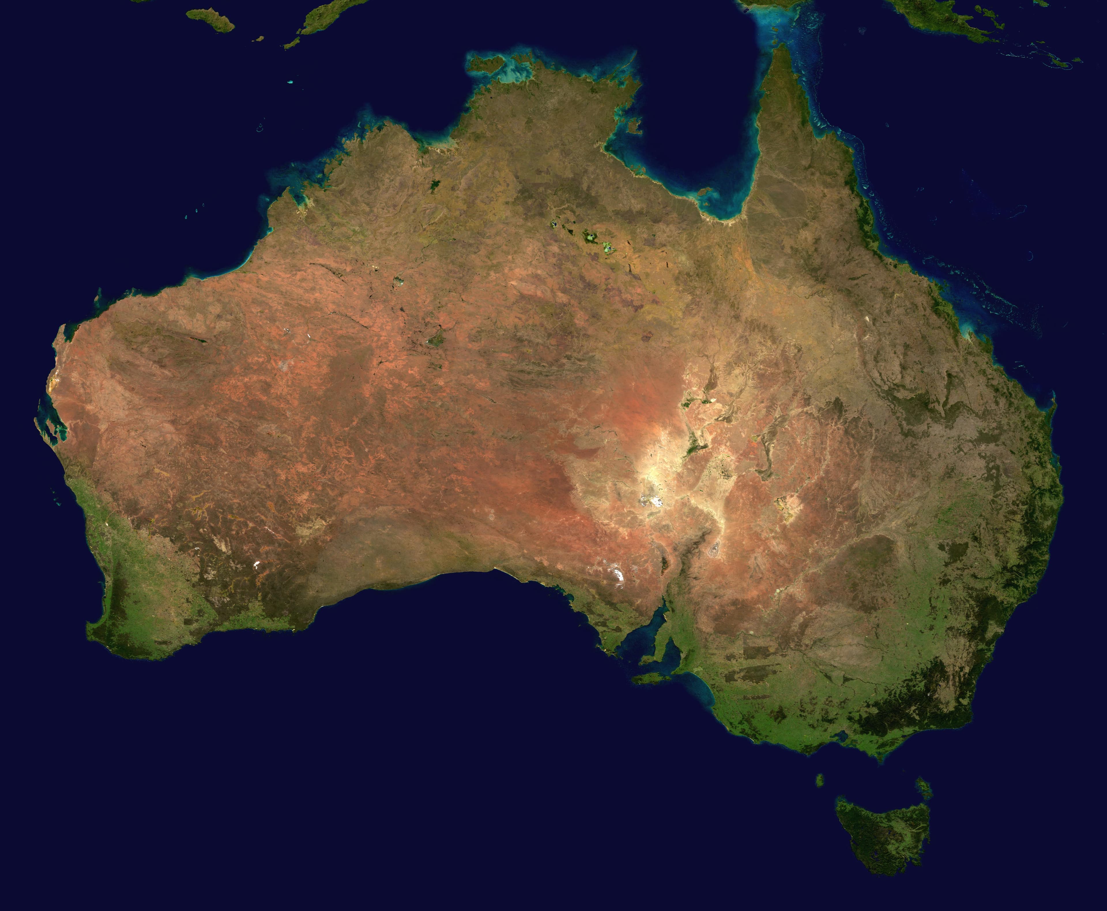
Australia satellite plane
Reto Stöckl / NASA Goddard Space Flight Center · 5250×4320

Compositing, satellite, scotland
NASA Goddard Space Flight Center Image by Reto Stöckli (land surface, shallow water, clouds). Enhancements by Robert Simmon (ocean color, compositing, 3D globes, animation). Data and technical support: MODIS Land Group; MODIS Science Data Support Team; MODIS Atmosphere Group; MODIS Ocean Group Additional data: USGS EROS Data Center (topography); USGS Terrestrial Remote Sensing Flagstaff Field Center (Antarctica); Defense Meteorological Satellite Program (city lights). · 905×732

NASA Satellite Captures Tropical Cyclones Tomas and Ului
NASA/GSFC · 1280×928
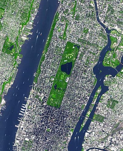
Enlarged Satellite Image of New York City (ASTER/NASA)
pingnews.com · 406×500

100' Satellite Packaging of Echo
NASA, Taub · 1280×946
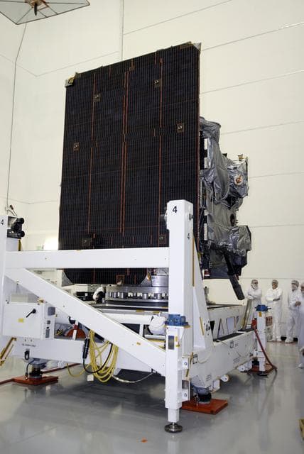
Goes, weather, satellite
NASA/KSC · 856×1280

NASA Satellite Captures Super Bowl Cities - Charlotte, NC
NASA/GSFC · 1280×1006
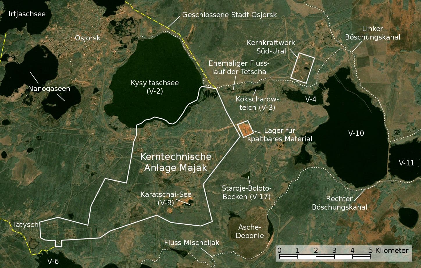
Majak Satellitenkarte
NASA, Jan Rieke (color correction, borders and labels) · 1448×922
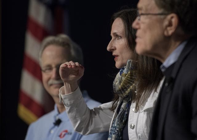
Transiting Exoplanet Survey Satellite (TESS) Briefing
NASA/Bill Ingalls · 1280×909
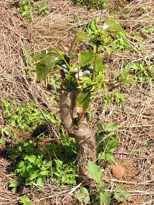
Coffee (Coffea arabica): Glyphosate herbicide injury to pruned plant
Plant pests and diseases · 768×1024

Satellite image of Japan in April 2018
Jeff Schmaltz, MODIS Land Rapid Response Team, NASA GSFC · 6000×6600
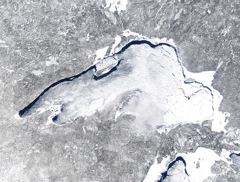
MODIS Satellite Image Lake Superior Ice Cover
NOAA Great Lakes Environmental Research Laboratory · 1024×777
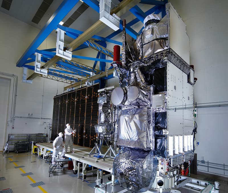
Fully Integrated GOES-S Satellite
NOAASatellites · 1024×867
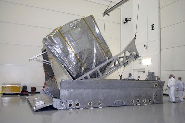
Goes, weather, satellite
NASA/KSC · 1280×856

100' Satellite Packaging of Echo
NASA, Taub · 1280×857
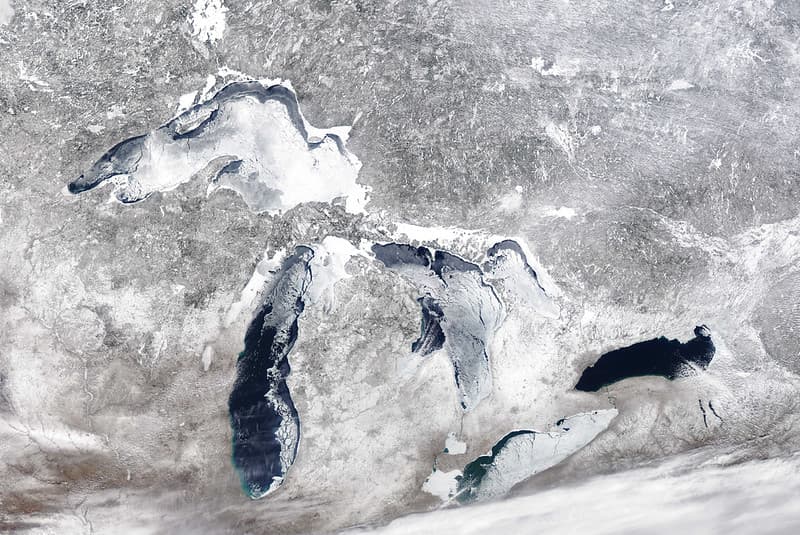
MODIS Satellite Image Great Lakes Ice Cover
NOAA Great Lakes Environmental Research Laboratory · 1024×685

NASA Satellite Captures Super Bowl Cities - Santa Clara, CA
NASA/GSFC · 1280×1235
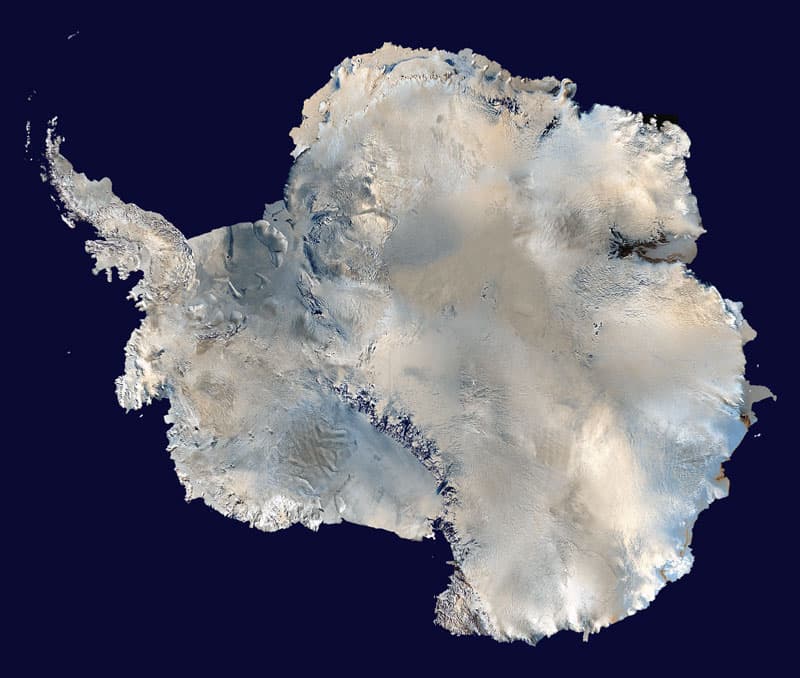
Antarctica satellite globe
NASA · 800×678
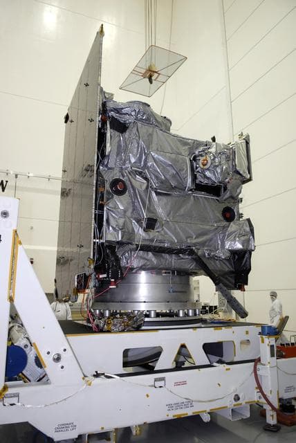
Goes, weather, satellite
NASA/KSC · 856×1280

One Web Satellites Ground Breaking
NASA/Kim Shiflett · 1280×853
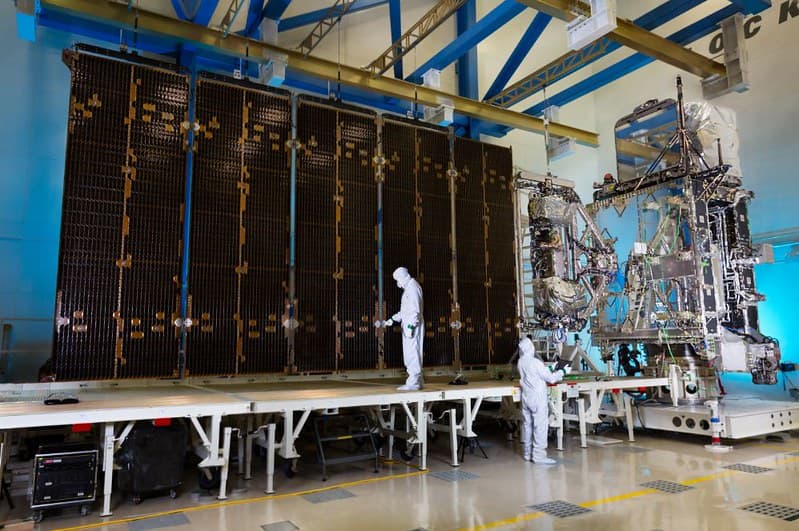
GOES-R Satellite Complete
NOAASatellites · 998×663
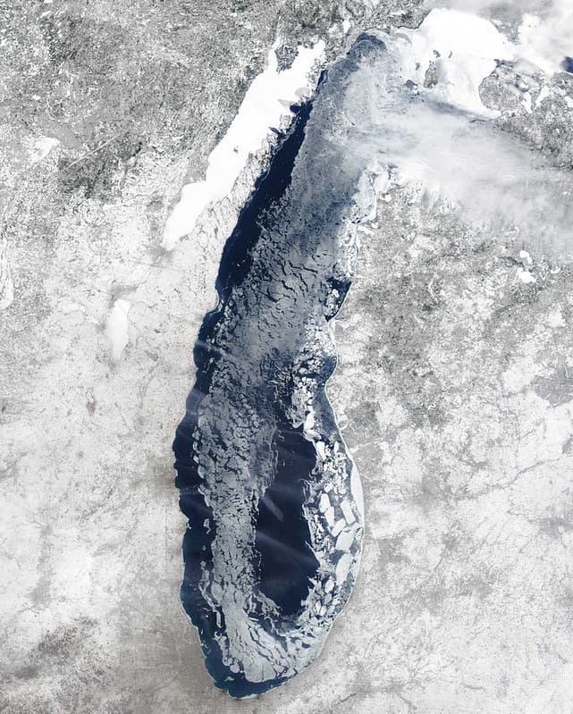
MODIS Satellite Image Lake Michigan Ice Cover
NOAA Great Lakes Environmental Research Laboratory · 821×1024

Southern Ukraine and Black Sea by Satellite in 2005
NASA · 5000×3800
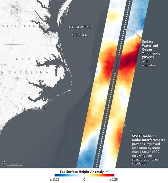
SWOT Satellite's Sea Level 'First Light'
NASA/JPL-Caltech · 1174×1280

Satellite Picture Shows the Snow-covered U.S. Deep Freeze
NASA/GSFC · 1280×1053

Transiting Exoplanet Survey Satellite (TESS) Briefing
NASA/Bill Ingalls · 1280×1241
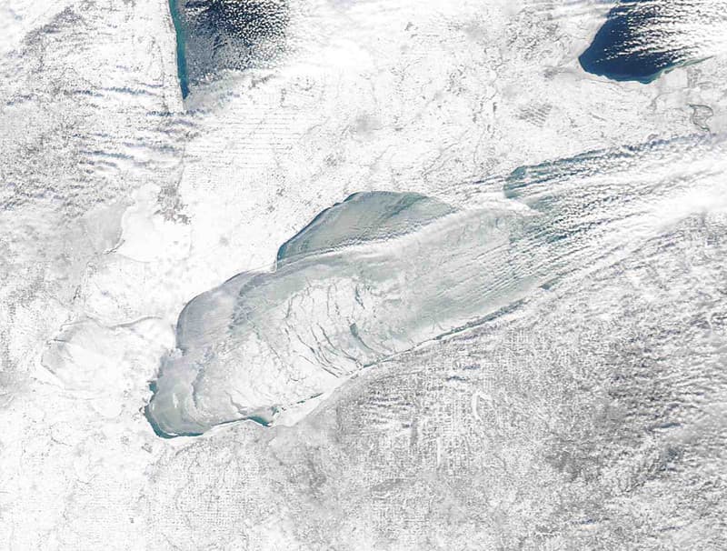
MODIS satellite image - Lake Erie
NOAA Great Lakes Environmental Research Laboratory · 1024×776
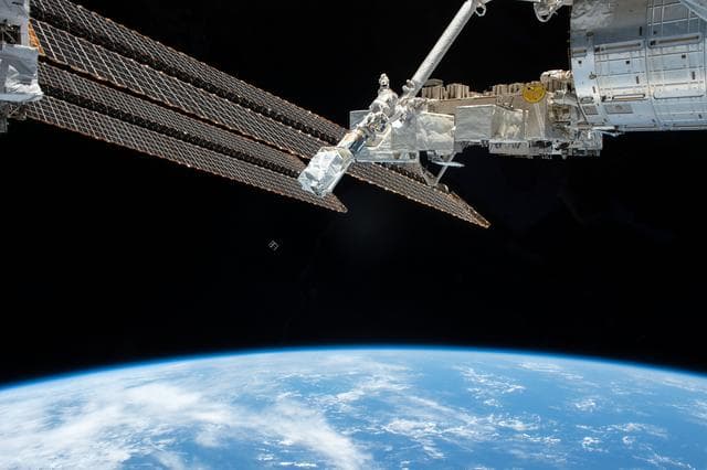
JEMRMS Small Satellite Deployment Observation
Chris Cassidy · 1280×853

One Web Satellites Ground Breaking
NASA/Kim Shiflett · 853×1280