Results for “noaa”

Fisheries, science, marine
Claire Fackler/National Oceanic and Atmospheric Administration · 888×665

Bryce Canyon at Night (153100 - vir 20240609 lrg)
NASA Earth Observatory images by Michala Garrison, using VIIRS day-night band data from the Suomi National Polar-orbiting Partnership. Story by Tayler Gilmore. · 1435×1295

Parabolic, antennas, noaa
NOAA · 1792×1180
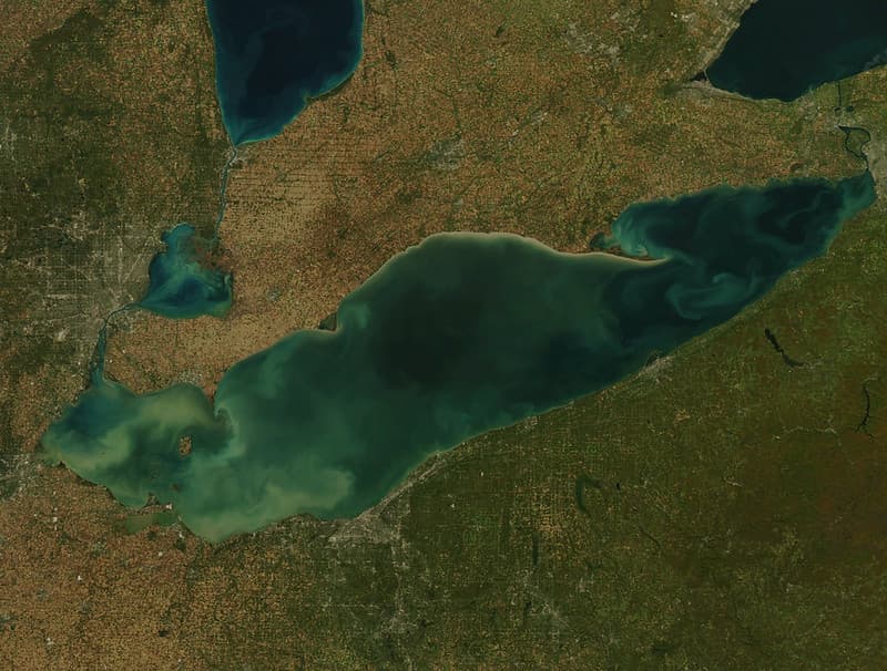
Lake Erie HABs MODIS Satellite July 2015
NOAA Great Lakes Environmental Research Laboratory · 1024×776

North, america, noaa
JPSS imagery: CSU/CIRA & NOAA/NESDIS · 2804×1604

Control Room of the Okeanos Explorer R337
NOAA Ocean Exploration and Research / Art Howard · 1200×862
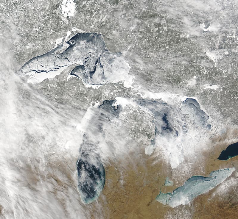
MODIS satellite image of the Great Lakes ice
NOAA Great Lakes Environmental Research Laboratory · 1024×942
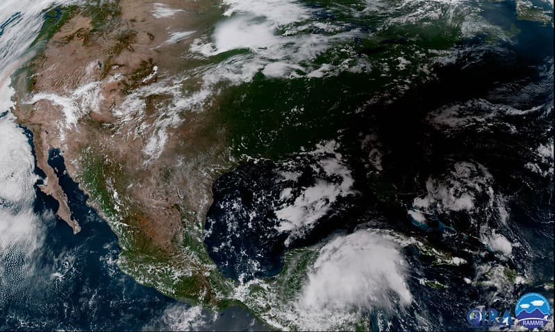
The East Coast Disappears under the Shadow of the Moon
NOAASatellites · 1024×614
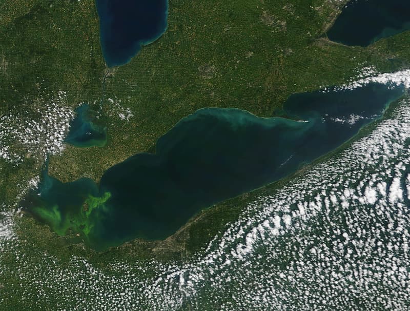
Lake Erie HABs MODIS Satellite July 2015
NOAA Great Lakes Environmental Research Laboratory · 1024×776
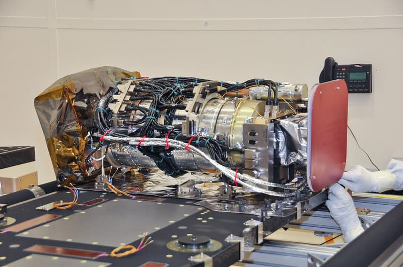
SUVI Installed on GOES-R Satellite
NOAASatellites · 1024×680
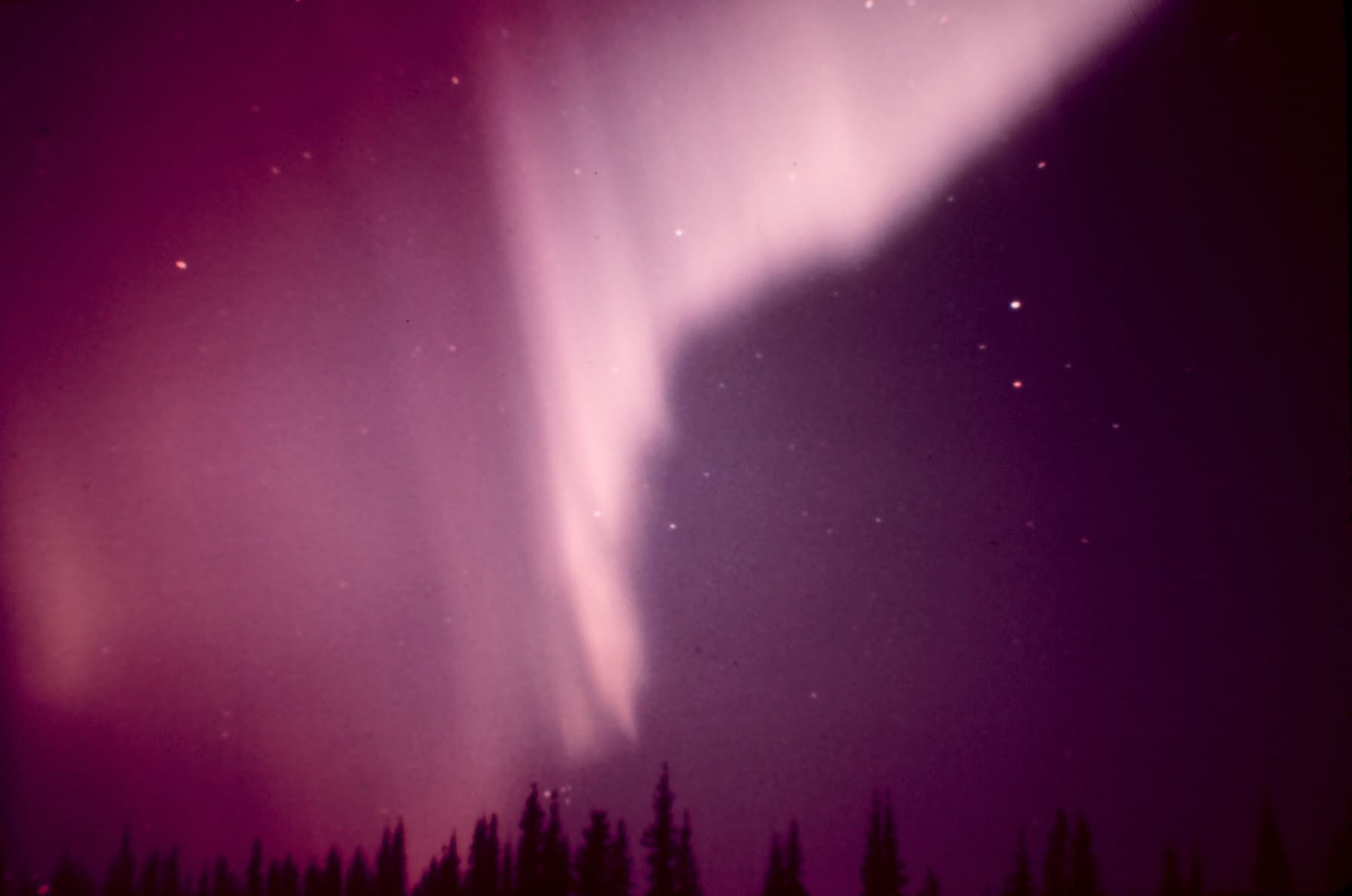
Aurora borealis in Alaska
Unknown · 1792×1188

Graphic of GOES satellite operation (2297-20)
NOAA · 1800×1184
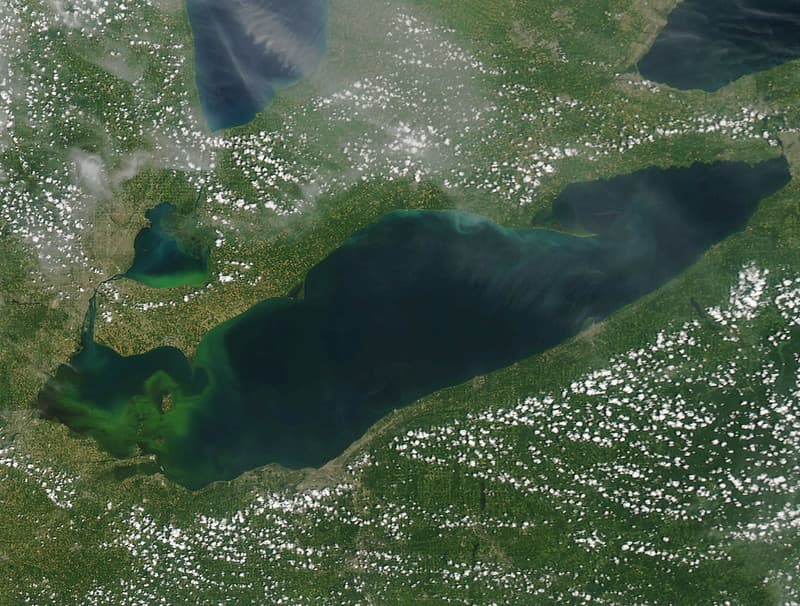
Lake Erie HABs MODIS Satellite July 2015
NOAA Great Lakes Environmental Research Laboratory · 1024×776
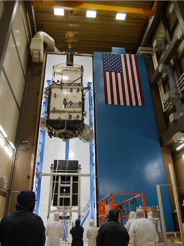
GOES-R Satellite Lifted for Transport to Thermal Vacuum Chamber
NOAASatellites · 375×500
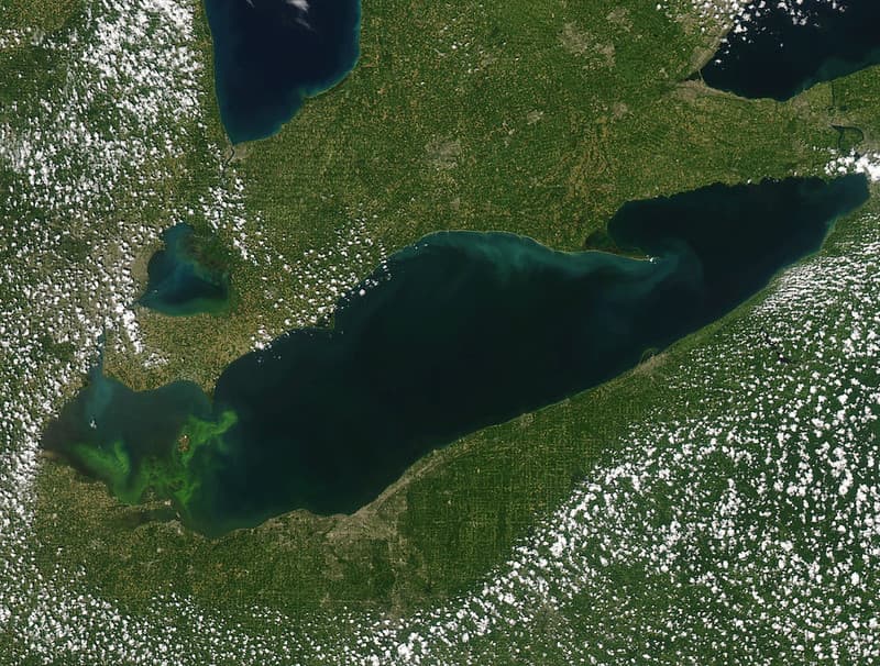
Lake Erie HABs MODIS Satellite July 2015
NOAA Great Lakes Environmental Research Laboratory · 1024×776
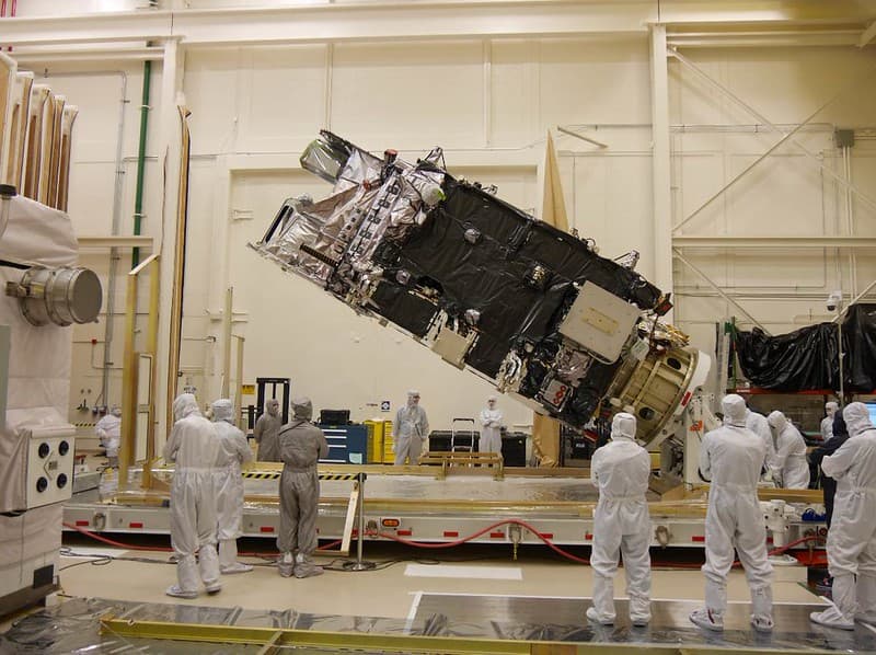
GOES-R Satellite Transported for Environmental Testing
NOAASatellites · 1024×765

Graphic of GOES satellite data collection and distribution (2297-1)
NOAA · 1784×1176

Graphic of GOES satellite data collection and distribution (2297-21)
NOAA · 1784×1176
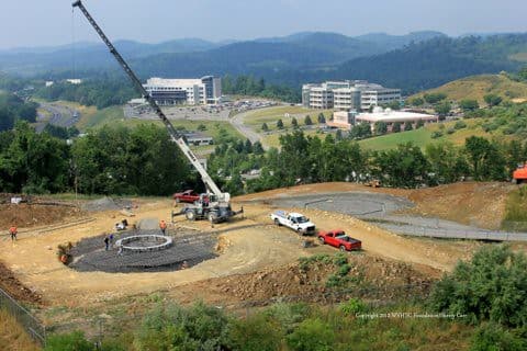
CBU Antenna Foundation Installation
NOAASatellites · 480×320

Unidentified satellite configuration (2268-454)
NOAA · 2500×1741
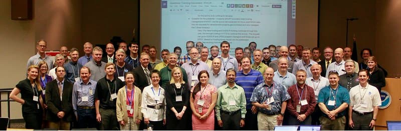
2014 NOAA Satellite Proving Ground/User Readiness Meeting
NOAASatellites · 1024×335
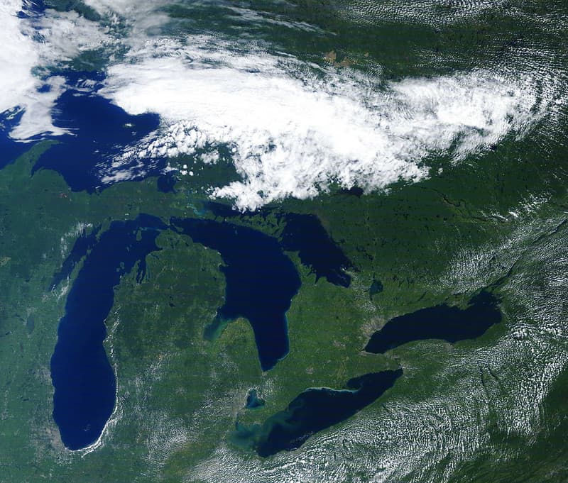
MODIS satellite image of Great Lakes
NOAA Great Lakes Environmental Research Laboratory · 1024×872

Noaa, viirs, aurora
JPSS imagery: CSU/CIRA & NOAA/NESDIS · 2052×652
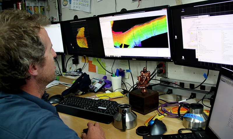
Converting Sonar Data into Imagery
NOAA's National Ocean Service · 960×572
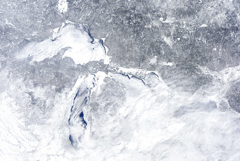
MODIS satellite image
NOAA Great Lakes Environmental Research Laboratory · 1024×685
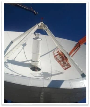
GOES-R Antenna Feed Installation at CBU
NOAASatellites · 386×457
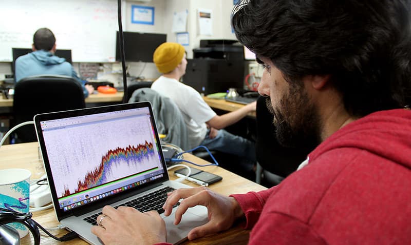
Examining Fisheries Data
NOAA's National Ocean Service · 960×573

Noaa, viirs, aurora
JPSS imagery: CSU/CIRA & NOAA/NESDIS · 2052×652
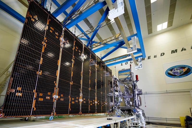
Fully Integrated GOES-S Satellite With Solar Array Extended
NOAASatellites · 1024×683
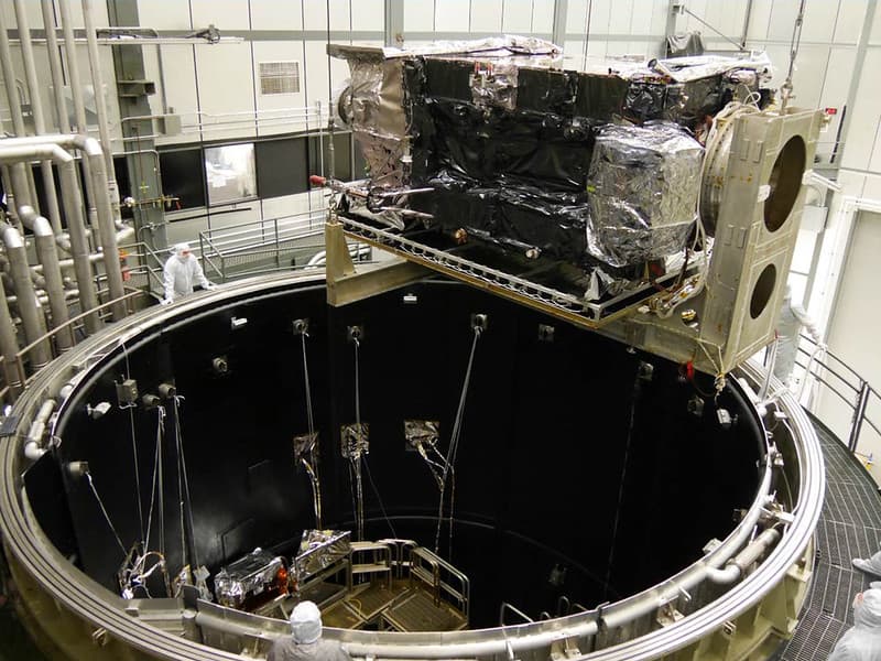
Preparing to Lower the GOES-R Satellite into Thermal Vacuum Chamber
NOAASatellites · 1024×768
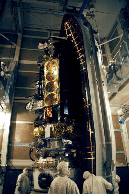
Weather, satellite, noaa
NASA/KSC · 856×1280
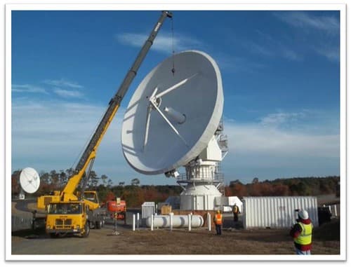
GOES-R Antenna Feed Installation at WCDAS
NOAASatellites · 500×381
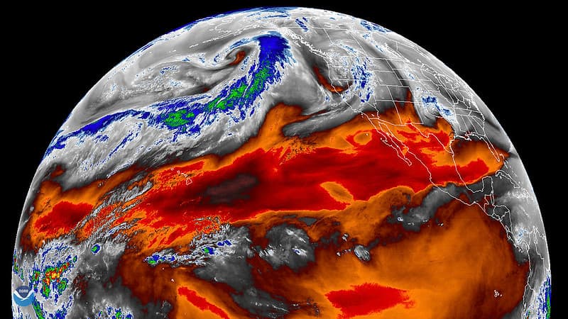
GOES West Views Atmospheric River in the Pacific Ocean
NOAASatellites · 1024×576

GOES-S Transport to Kennedy Space Center
Michael Starobin/NASA/NOAA · 1280×853
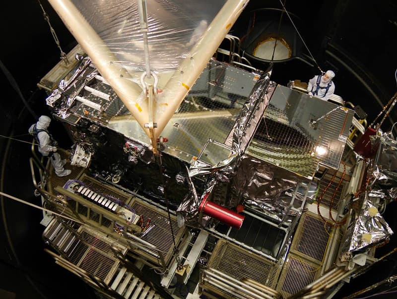
GOES-R Satellite Lowered into Thermal Vacuum Chamber
NOAASatellites · 1024×771

Satellite, florida, noaa
NOAA · 800×800
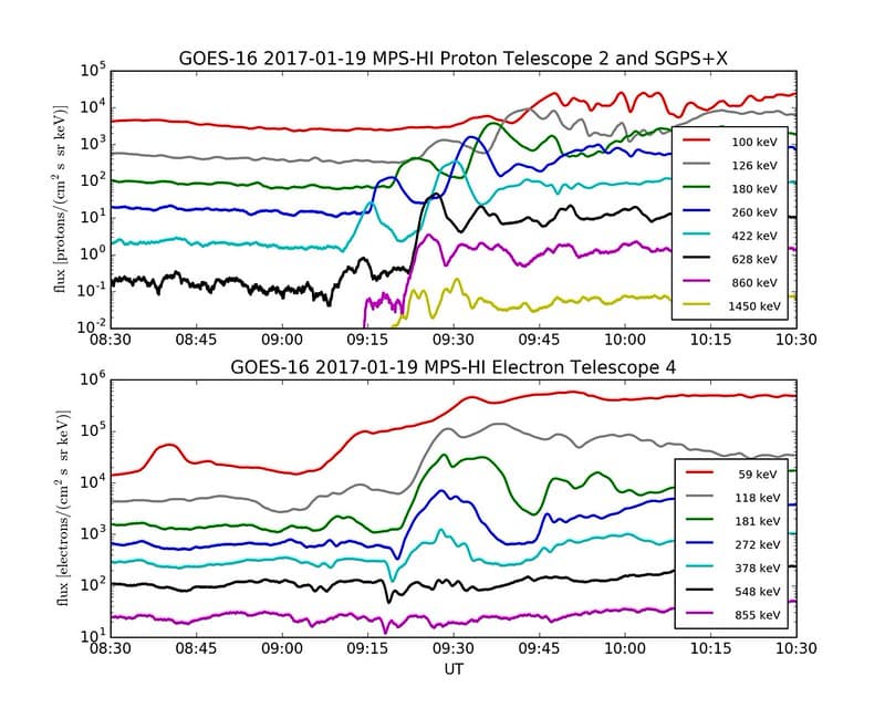
First Data from GOES-16 SEISS Instrument
NOAASatellites · 1024×819

Aurora Borealis Around The Arctic (CIRA 2023-11-06 -)
JPSS imagery: CSU/CIRA & NOAA/NESDIS · 1244×1144
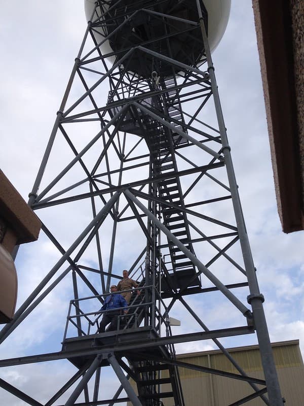
VADM radar tower
NOAA NSSL · 768×1024
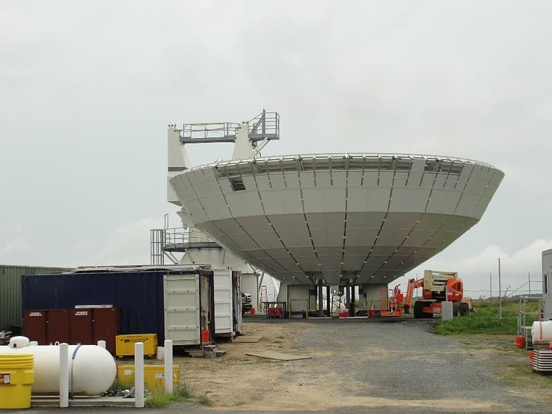
GOES-R W-1 Antenna under Construction at WCDAS
NOAASatellites · 1024×768