Results for “aerial”
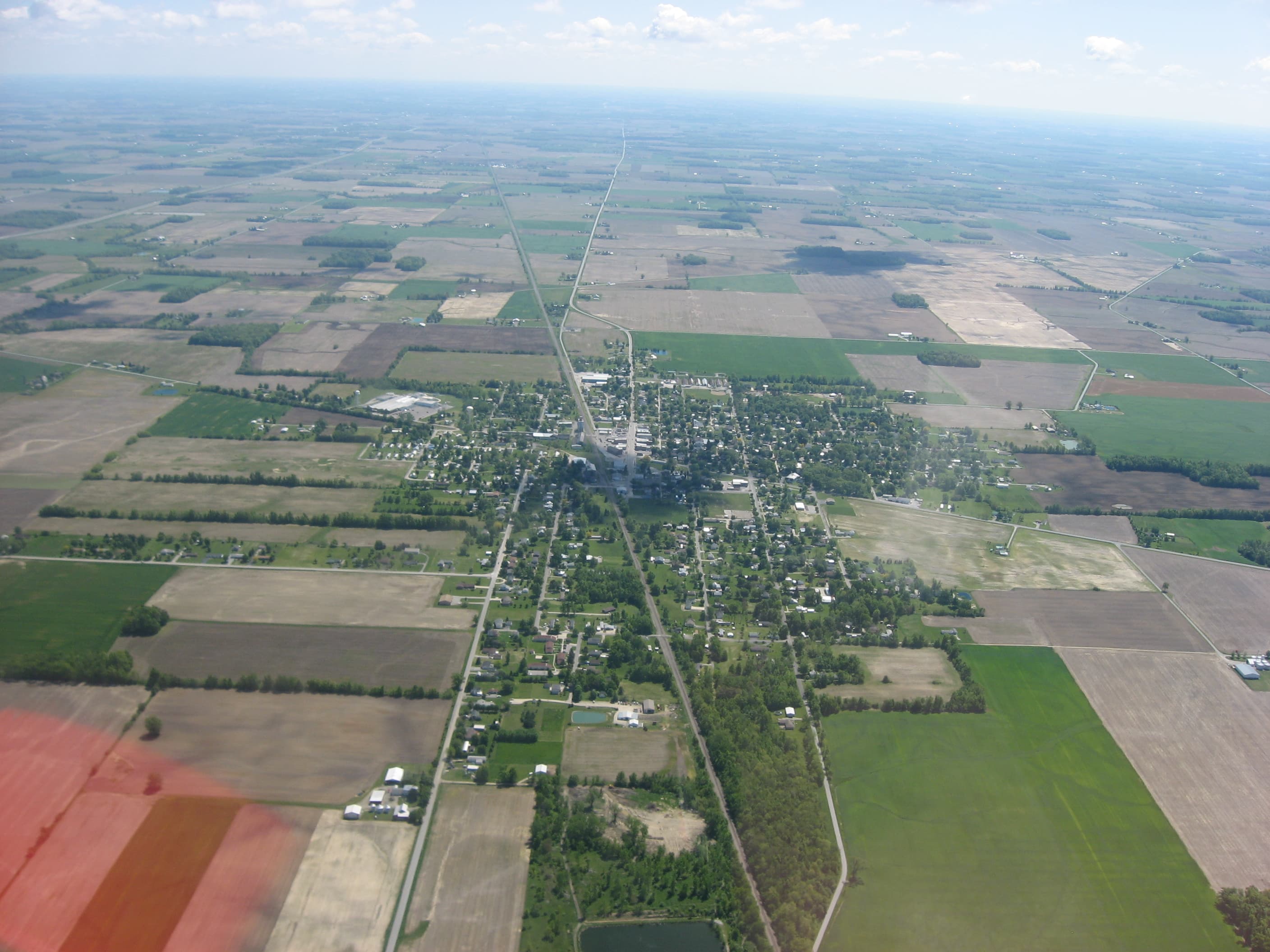
Village of Forest from the air
Nyttend · 2816×2112

Army, combat, aviation
Sgt. Alexander Neely · 3216×2136
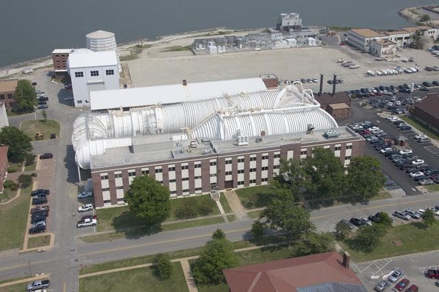
Aerials of NASA Langley Research Center
Sean Smith · 1280×853
Coast from above
Tiago Aguiar · 2592×1565
Rows from above
Liane Metzler · 4608×3072
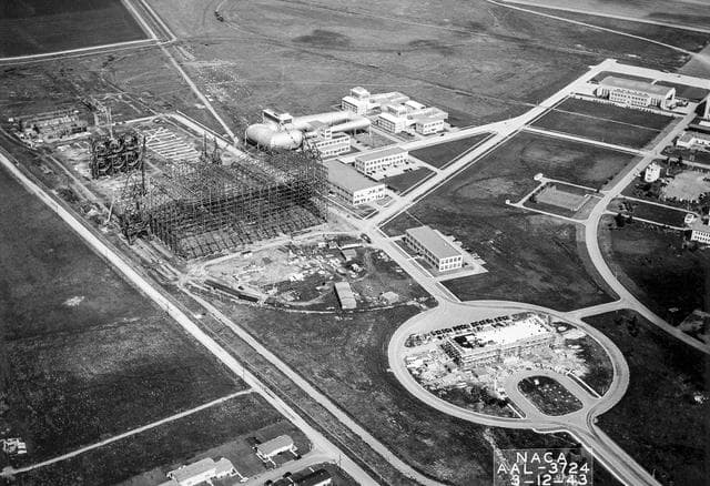
Wind, tunnel, ames
NACA · 1280×877

Icefall, Lambert Glacier, Antarctica
NASA/GSFC · 1277×1280
River from above
Gian-Reto Tarnutzer · 4943×3307
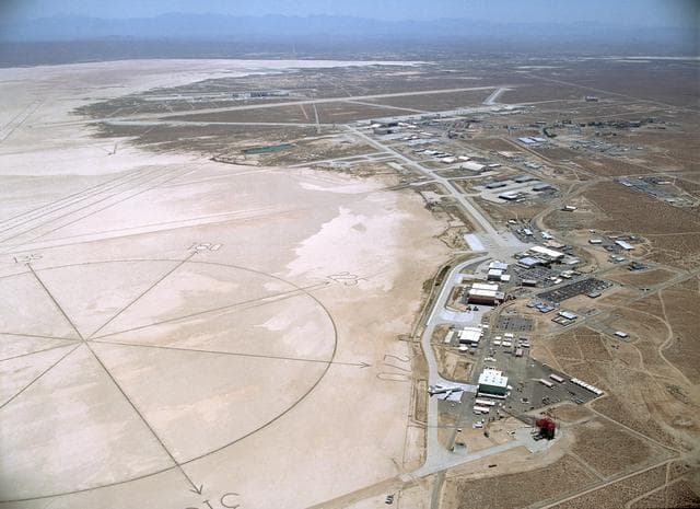
Dryden, flight, research
NASA/Carla Thomas · 1280×931
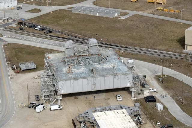
Mlp, cape, canaveral
NASA/KSC · 1280×856
Jamestown, Virginia Closeup Satellite Image (NASA)
pingnews.com · 240×226
Over the rooftops
Igor Ovsyannykov · 2048×1353
Coastline from above
Dillon McIntosh · 1500×998
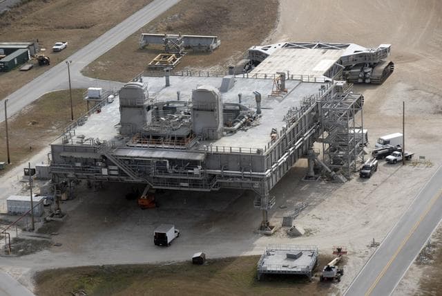
Mlp, cape, canaveral
NASA/KSC · 1280×856
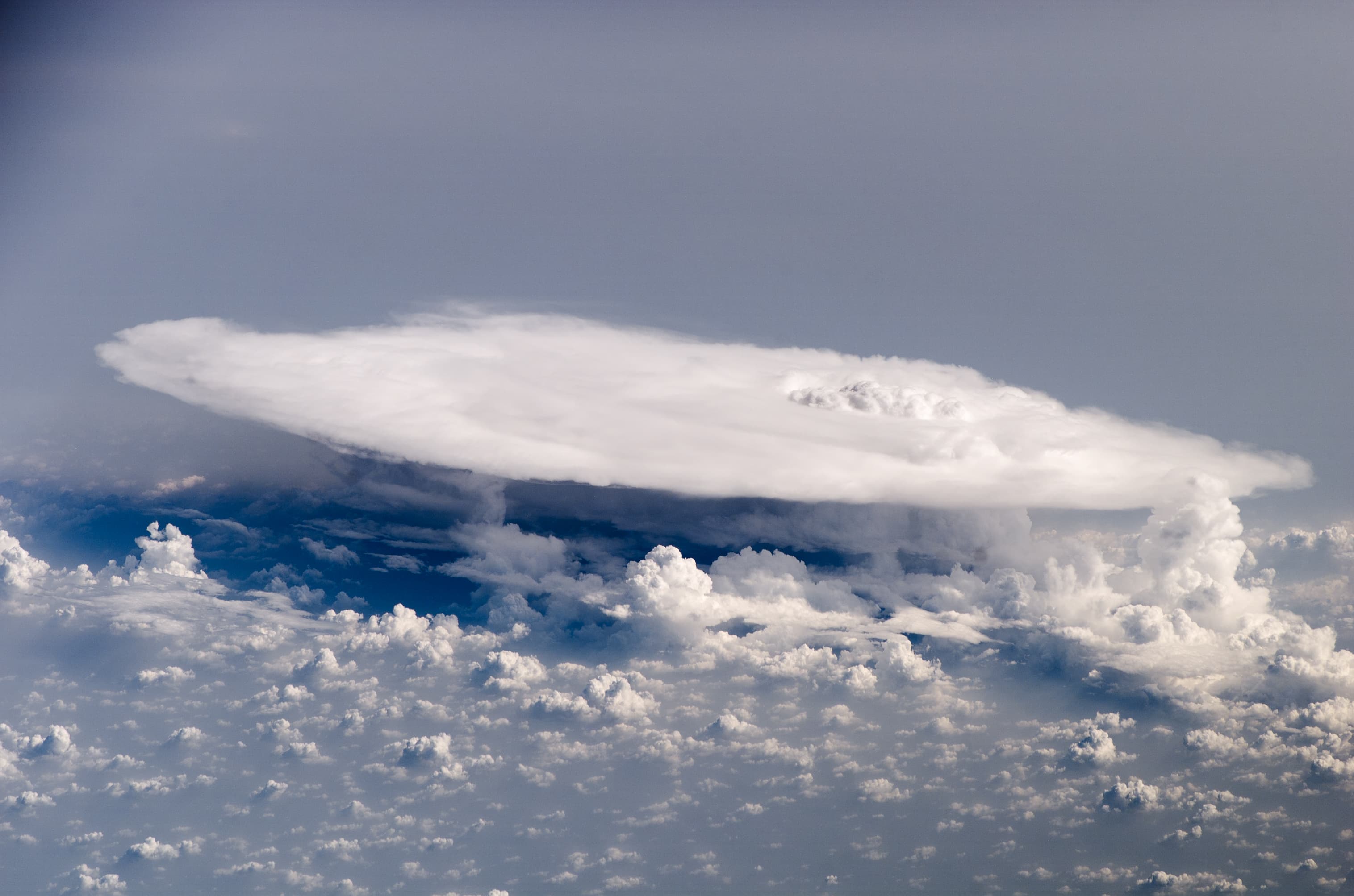
Cumulonimbus Cloud over Africa (color)
NASA/ISS 16 · 3032×2008

Akpatok Island
NASA/GSFC · 1280×1272
Lake below the ridge
Ryan Schroeder · 4442×2961

Government, edwards, air
Northrop Grumman · 1420×487
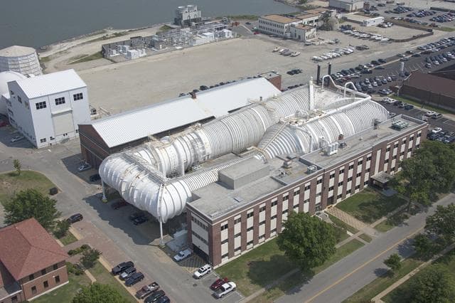
Aerials of NASA Langley Research Center
Sean Smith · 1280×853
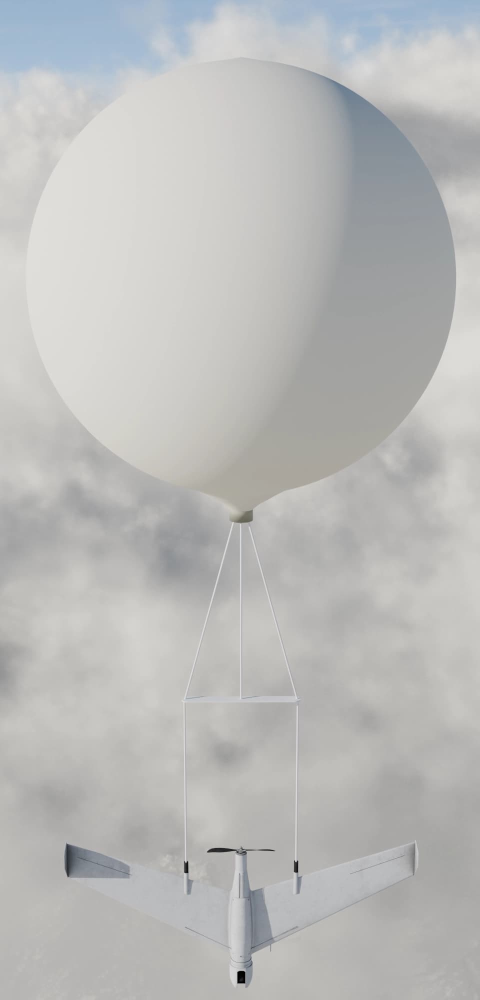
UAV balloon launch
Wikideas1 · 960×2000
Dense city
Wojtek Witkowski · 3823×2538
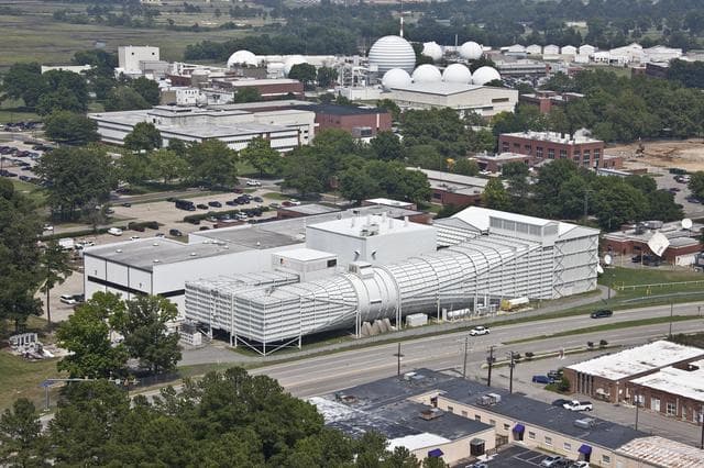
Aerials of NASA Langley Research Center
Sean Smith · 1280×853
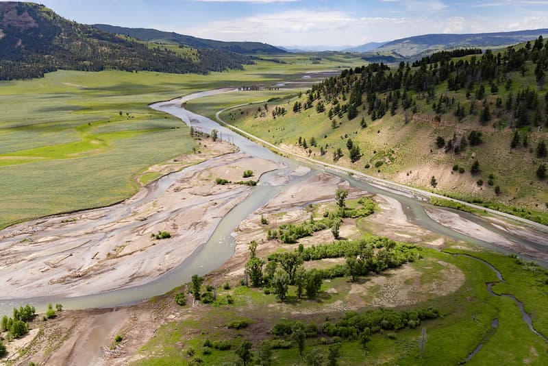
Aerial, floodevent, yellowstone
YellowstoneNPS · 1024×683
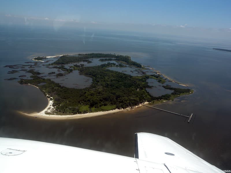
Atsena Otie Key Island
U.S. Geological Survey · 1024×768
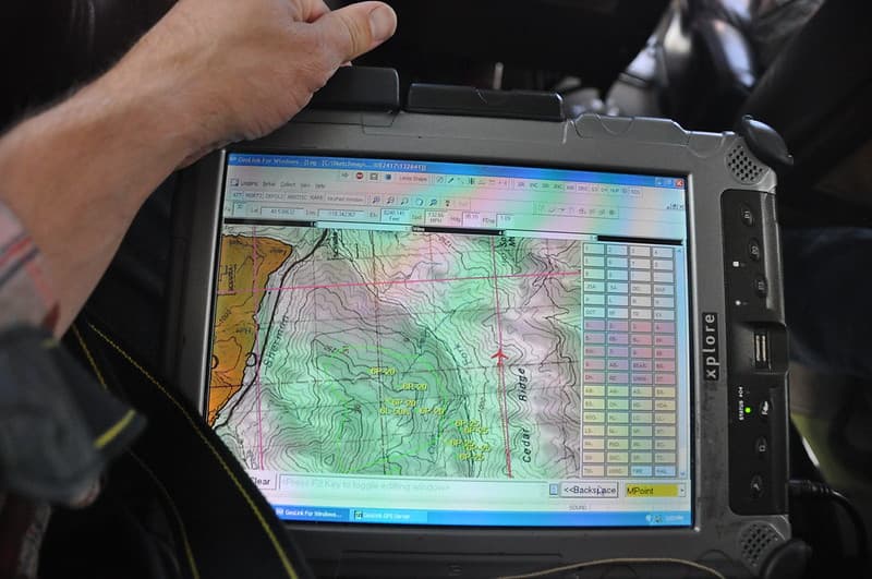
Ads, aerialsurvey, cedarridge
USDA Forest Service · 1024×680
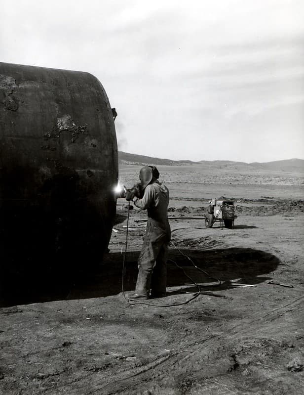
Aerialapplication, aerialspray, budworm
USDA Forest Service · 789×1024
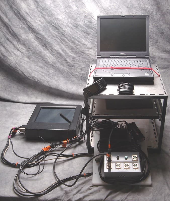
Aerialsurvey, aircraft, airplane
USDA Forest Service · 866×1024
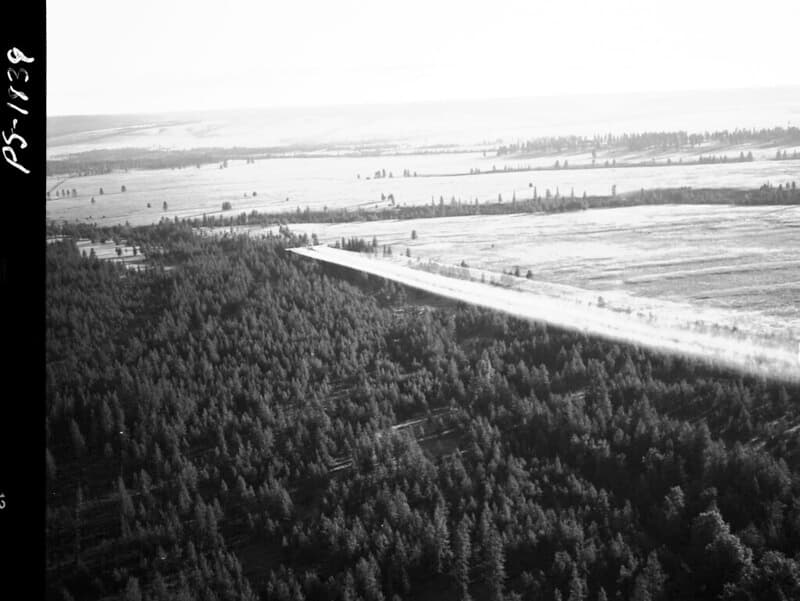
Aerialapplication, aerialspray, aircraft
USDA Forest Service · 1024×769
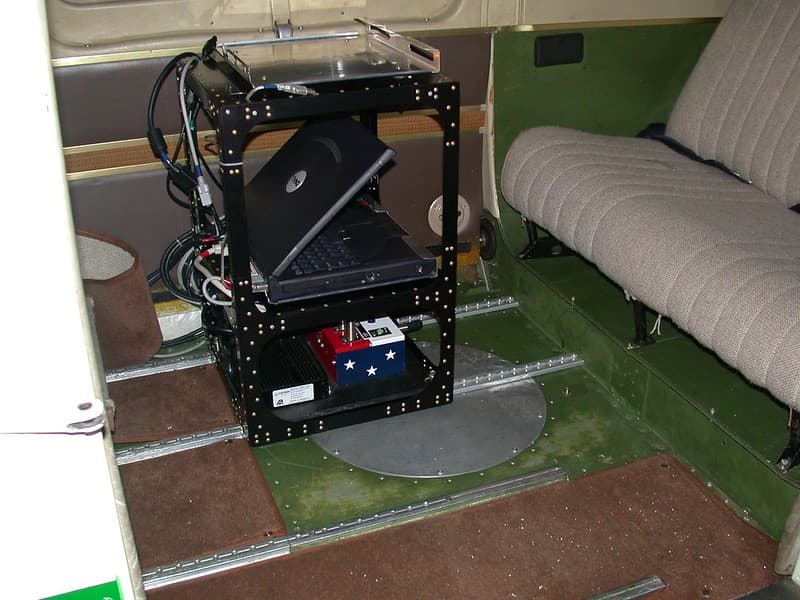
Aerialsurvey, aircraft, computerrack
USDA Forest Service · 1024×768
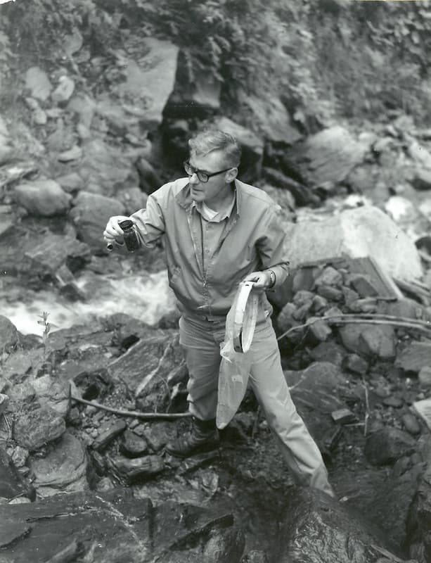
Aerialspray, aquaticinsects, bobdewitz
USDA Forest Service · 785×1024
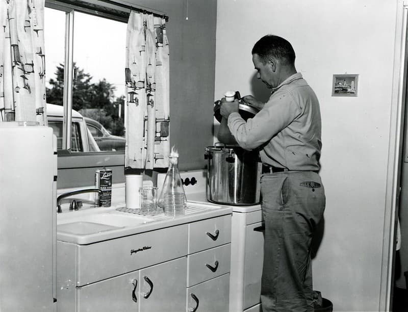
Aerialspray, cgthompson, controlproject
USDA Forest Service · 1024×783
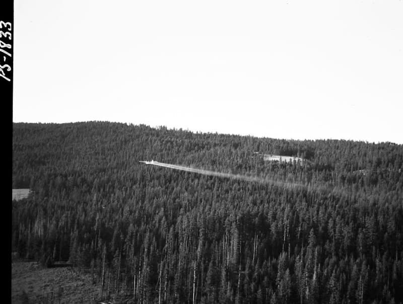
Aerialapplication, aerialspray, aircraft
USDA Forest Service · 1024×773
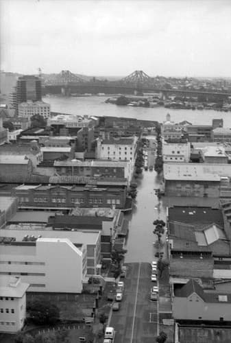
Aerial view of Brisbane City during the 1974 flood, January
Queensland State Archives · 337×500
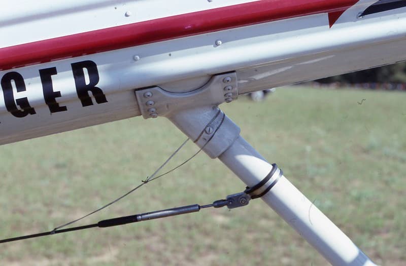
Aerialspray, antenna, defoliation
USDA Forest Service · 1024×672
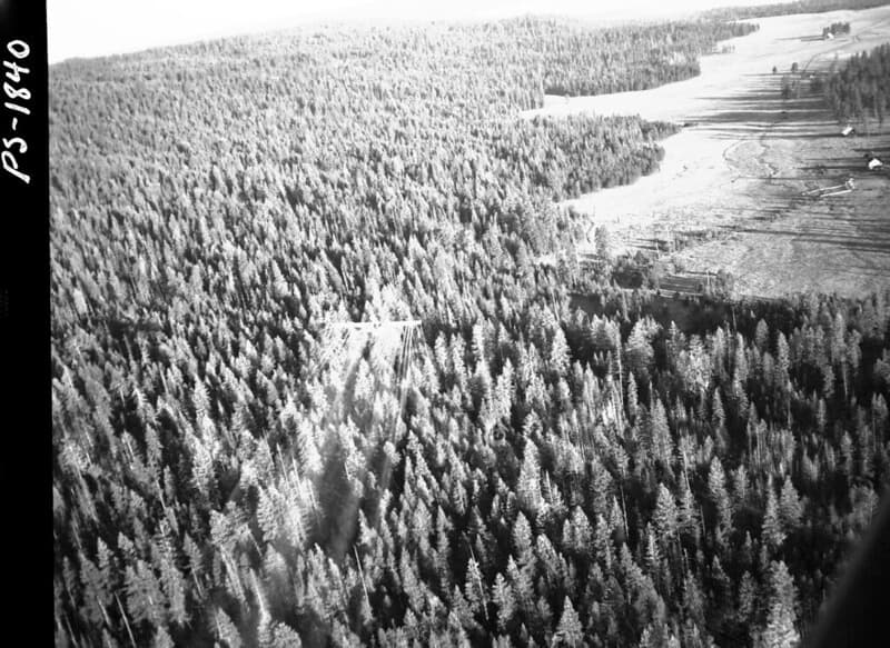
Aerialapplication, aerialspray, aircraft
USDA Forest Service · 1024×746
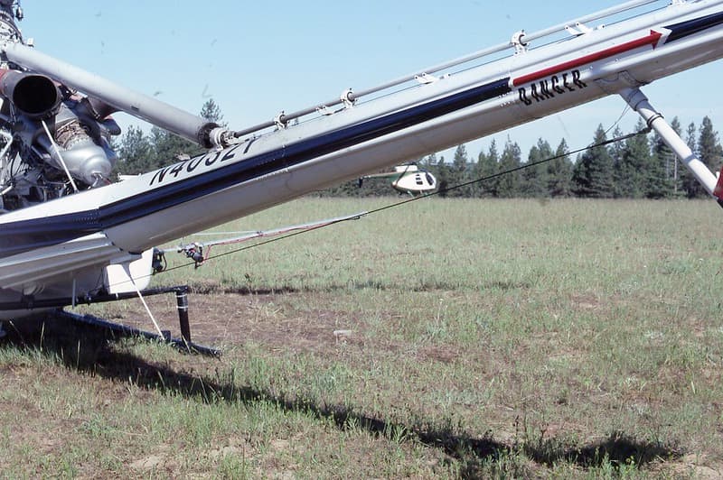
Aerialapplication, aerialcontrol, aerialspray
USDA Forest Service · 1024×681
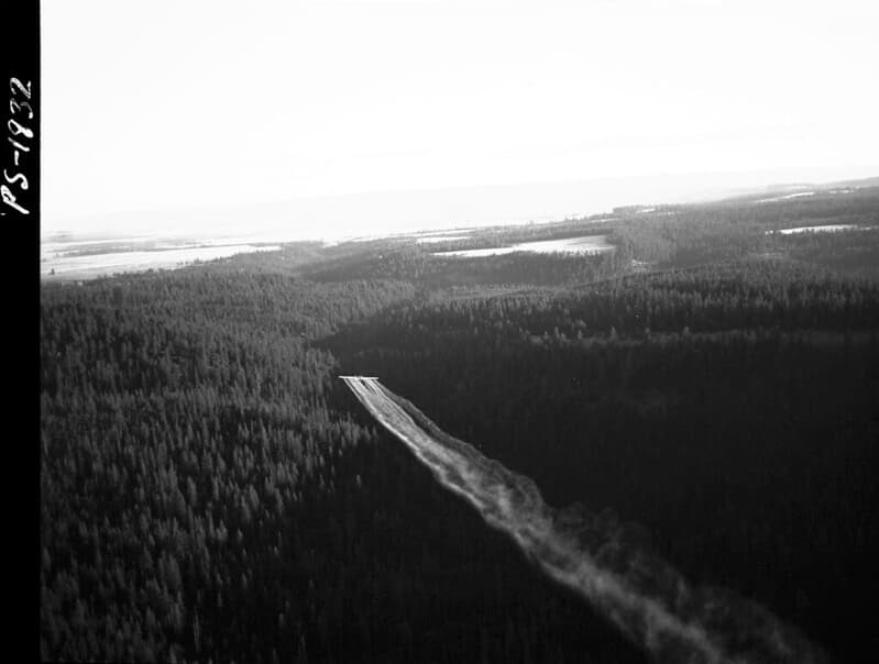
Aerialapplication, aerialspray, aircraft
USDA Forest Service · 1024×774
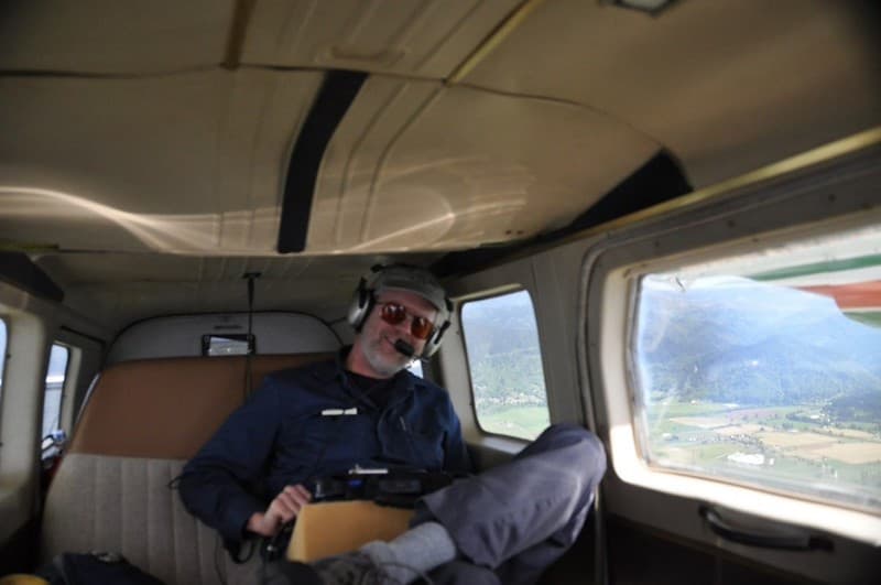
Ads, aerialobserver, aerialsurvey
USDA Forest Service · 1024×680
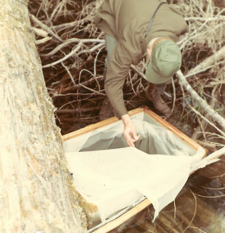
Aerialspray, fieldtest, fish
USDA Forest Service · 990×1024
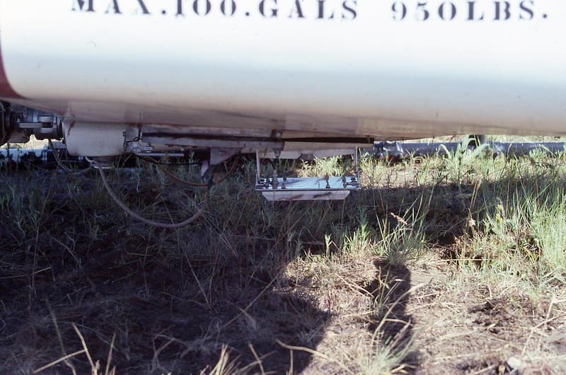
Aerialcontrol, aerialspray, altimeter
USDA Forest Service · 1024×678