Results for “aerial”
City and park
freddie marriage · 4887×2759
San Francisco from above
Lili Popper · 4912×2760
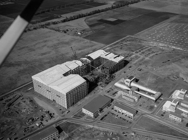
Aerial View of the Nearly Completed 40x80 Foot Wind Tunnel at Ames
NACA · 1280×957
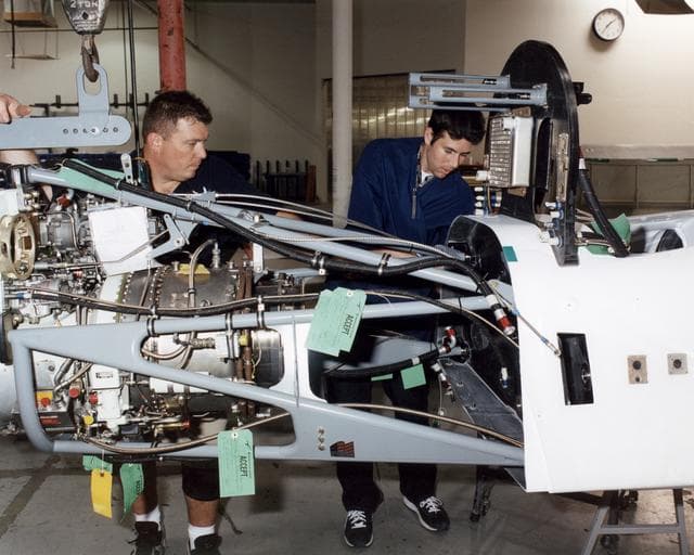
Altair, unmanned, aerial
NASA/Tom Tschida · 1280×1024
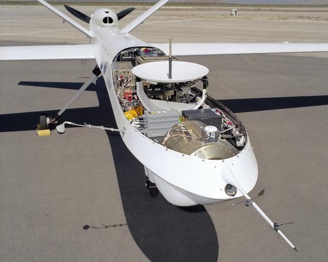
Altair, remotely, piloted
NASA/Tom Tschida · 1280×1024
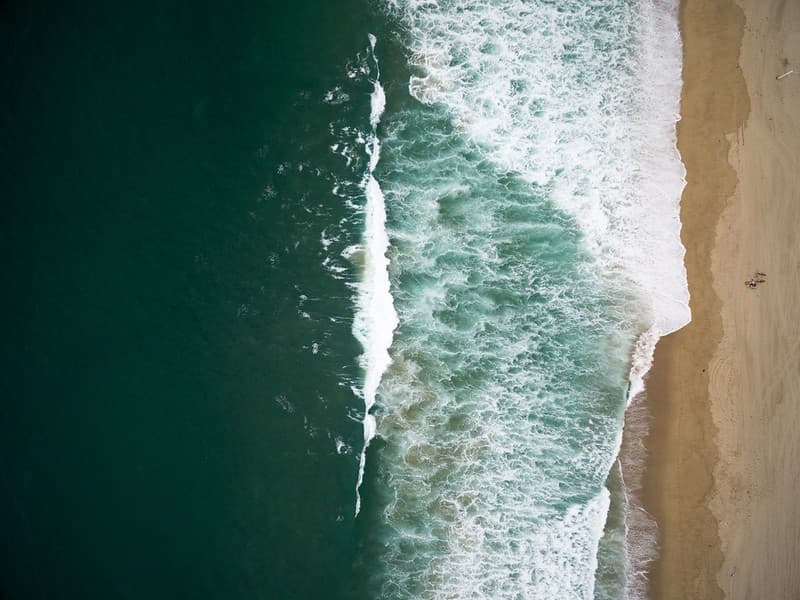
Aeriel or Drone Photos
koekoes · 1024×767
Traffic below
RayBay · 3264×2448
Dense towers
Benjamin Combs · 5000×3333
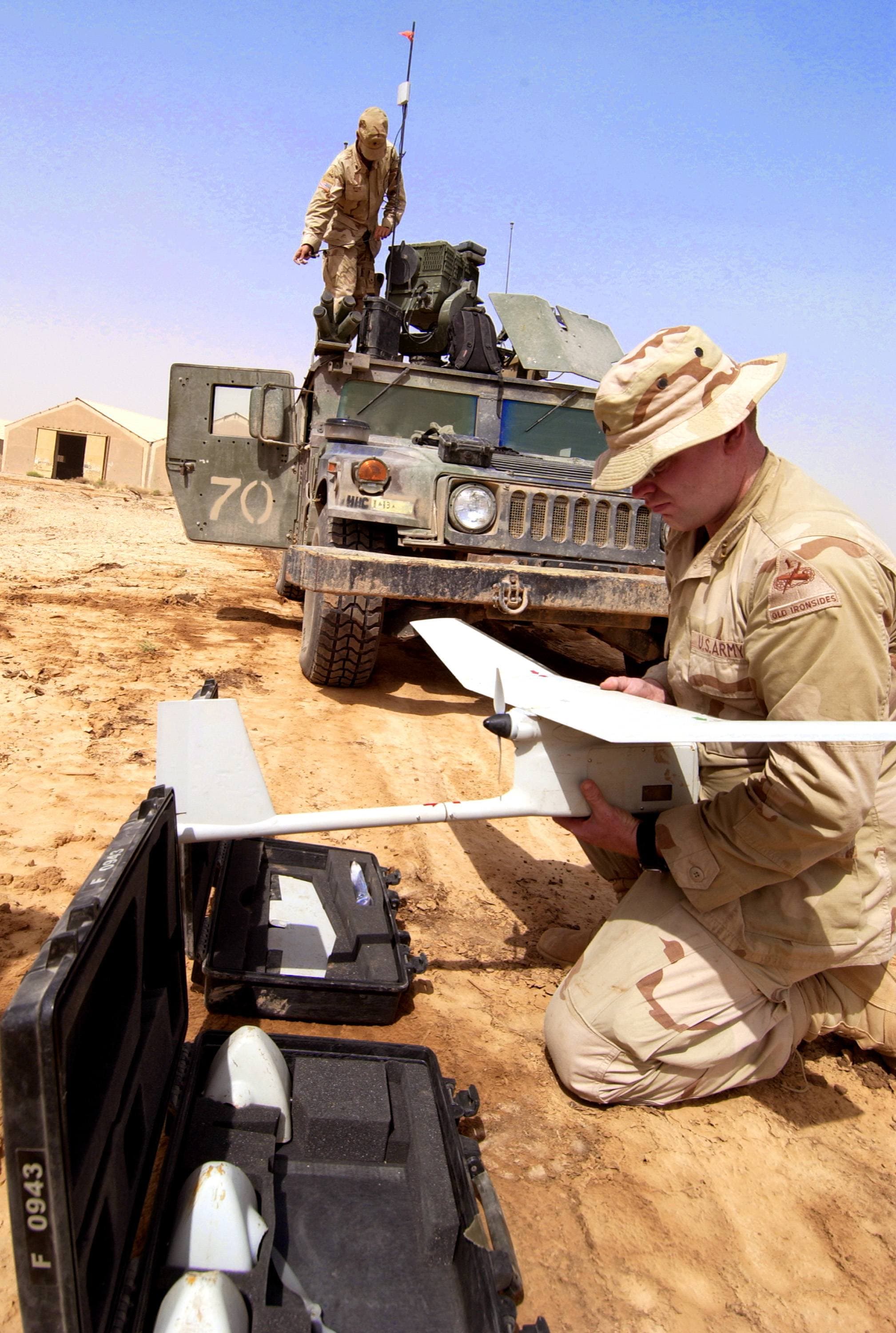
Raven UAV
DoD photo by Tech. Sergeant Russell E. Cooley IV, U.S. Air Force. (Released) · 2017×3000
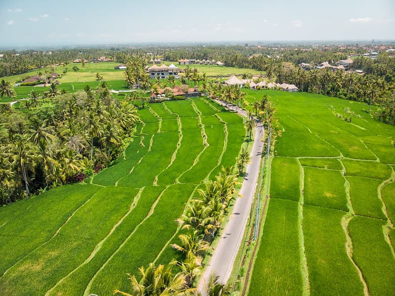
Aerial, agriculture, asia
Artem Beliaikin · 1024×767
City from above
Kelly Sikkema · 2729×2047
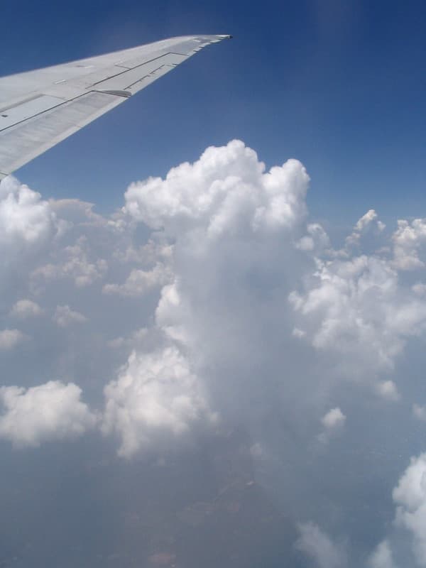
Aerial view of cumulus clouds 7
D Coetzee · 768×1024
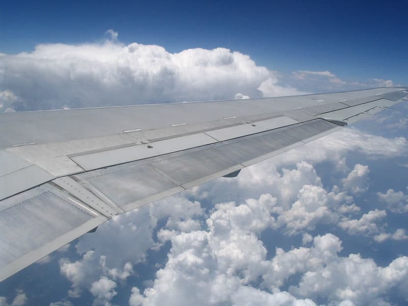
Airplane wing in front of cumulus clouds
D Coetzee · 1024×768
Chicago
Kevin Young · 5000×3333
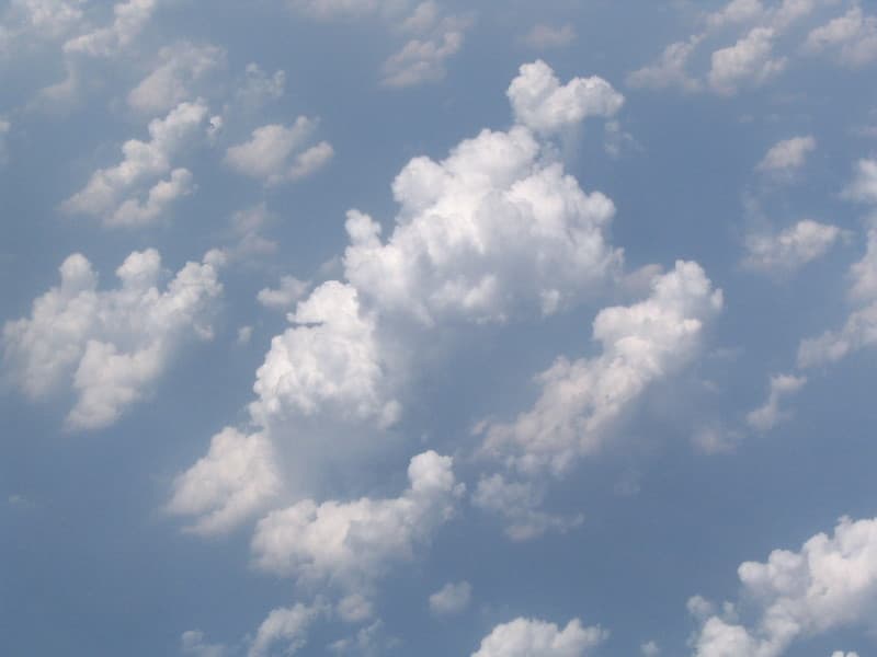
Aerial view of cumulus clouds 3
D Coetzee · 1024×768
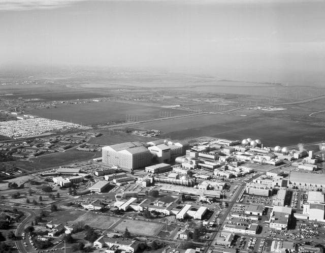
Aerial view of Ames 40x80 foot wind subsonic wind tunnel complex.
NASA · 1280×996
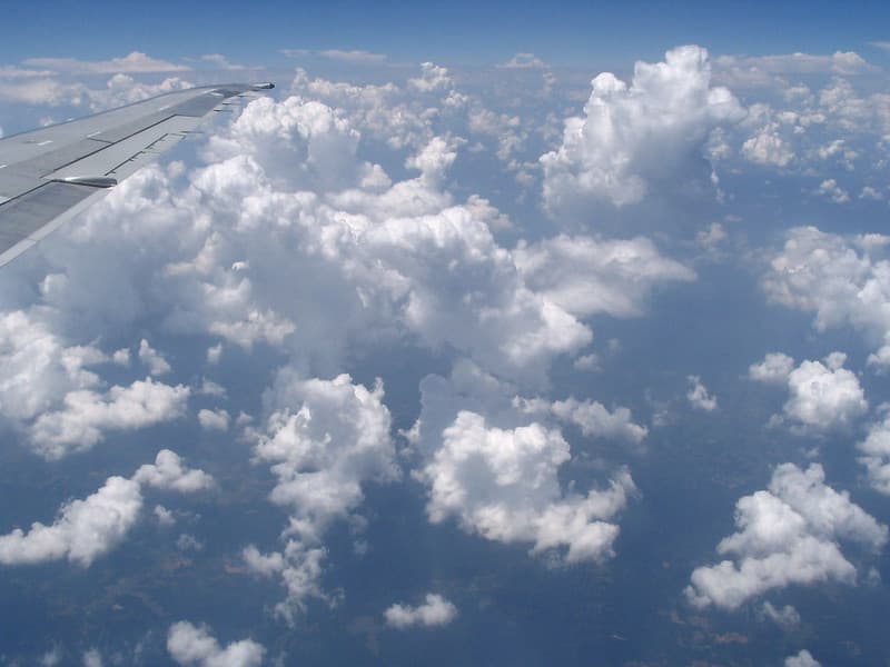
Aerial view of cumulus clouds 6
D Coetzee · 1024×768
Avenue from above
Rob Potvin · 4825×3217
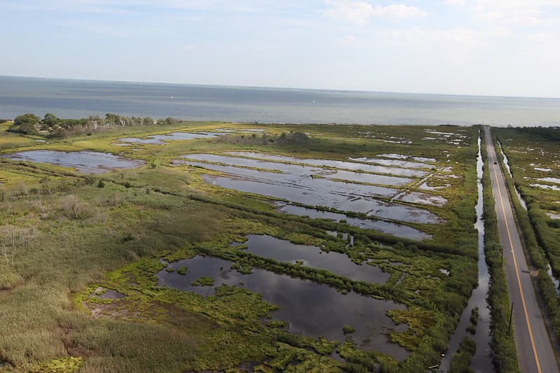
Road to Ocean at Seatuck National Wildlife Refuge
U. S. Fish and Wildlife Service - Northeast Region · 1024×683
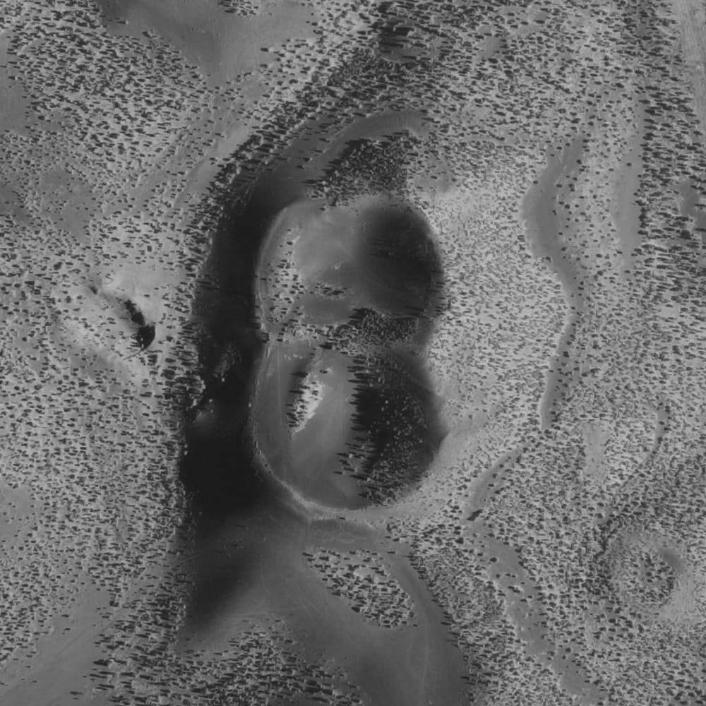
Double Crater AR1VDON00010001
United States Geologic Survey · 1000×1000
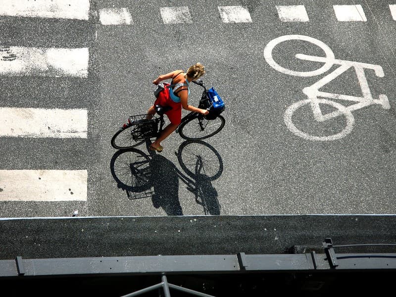
Red at Red Light *
Mikael Colville-Andersen · 1024×768
Traffic from above
Barcelona · 1280×1707
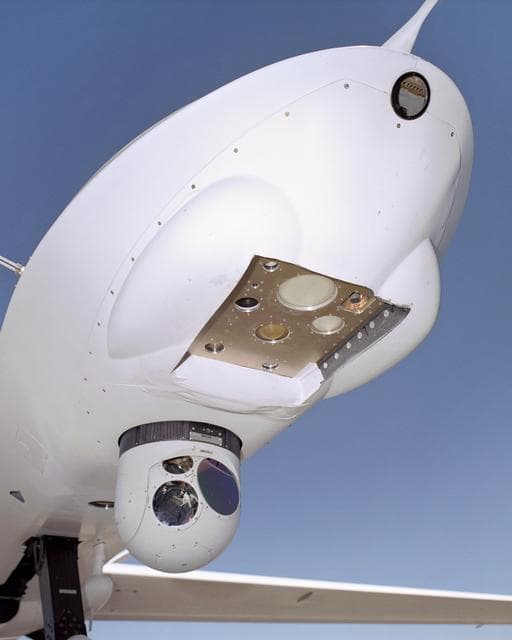
Altair, remotely, piloted
NASA/Tom Tschida · 1024×1280
Road into the hill
Alexandre Perotto · 4867×3215
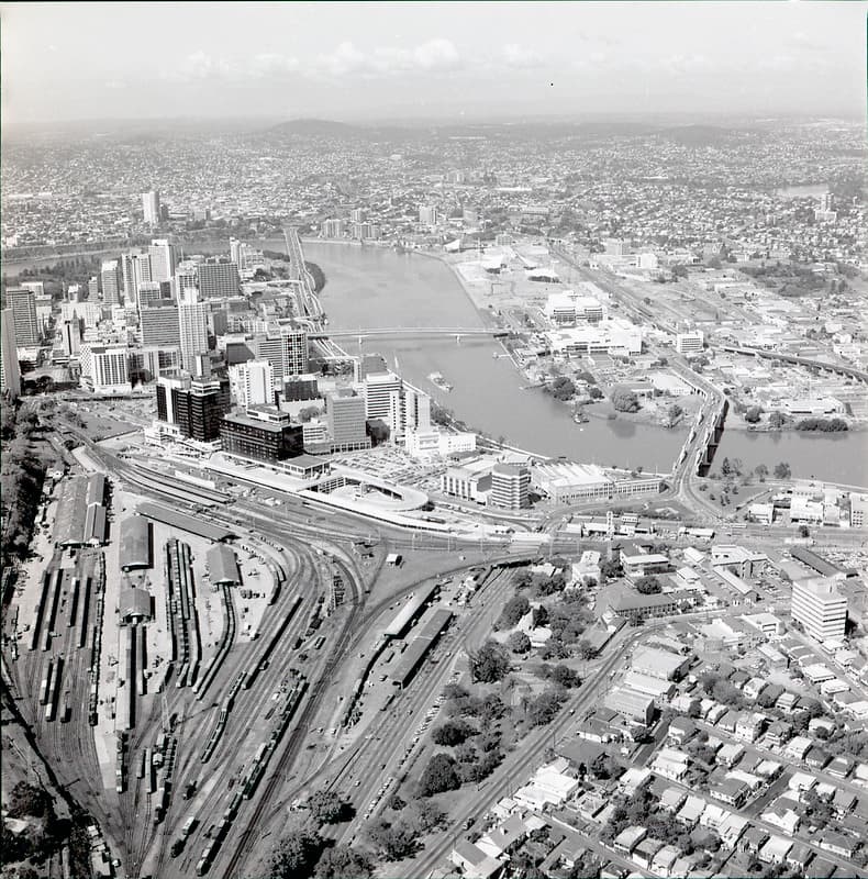
Brisbane from the sky, August 1986
Queensland State Archives · 1011×1024

Radar Image of Dublin, Ireland
NASA/GSFC · 1280×899
Warm rooftops
Siddharth Kothari · 2896×1944
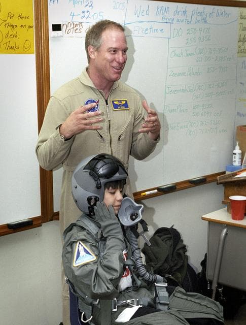
Jim, ross, aerial
NASA/Tom Tschida · 970×1280
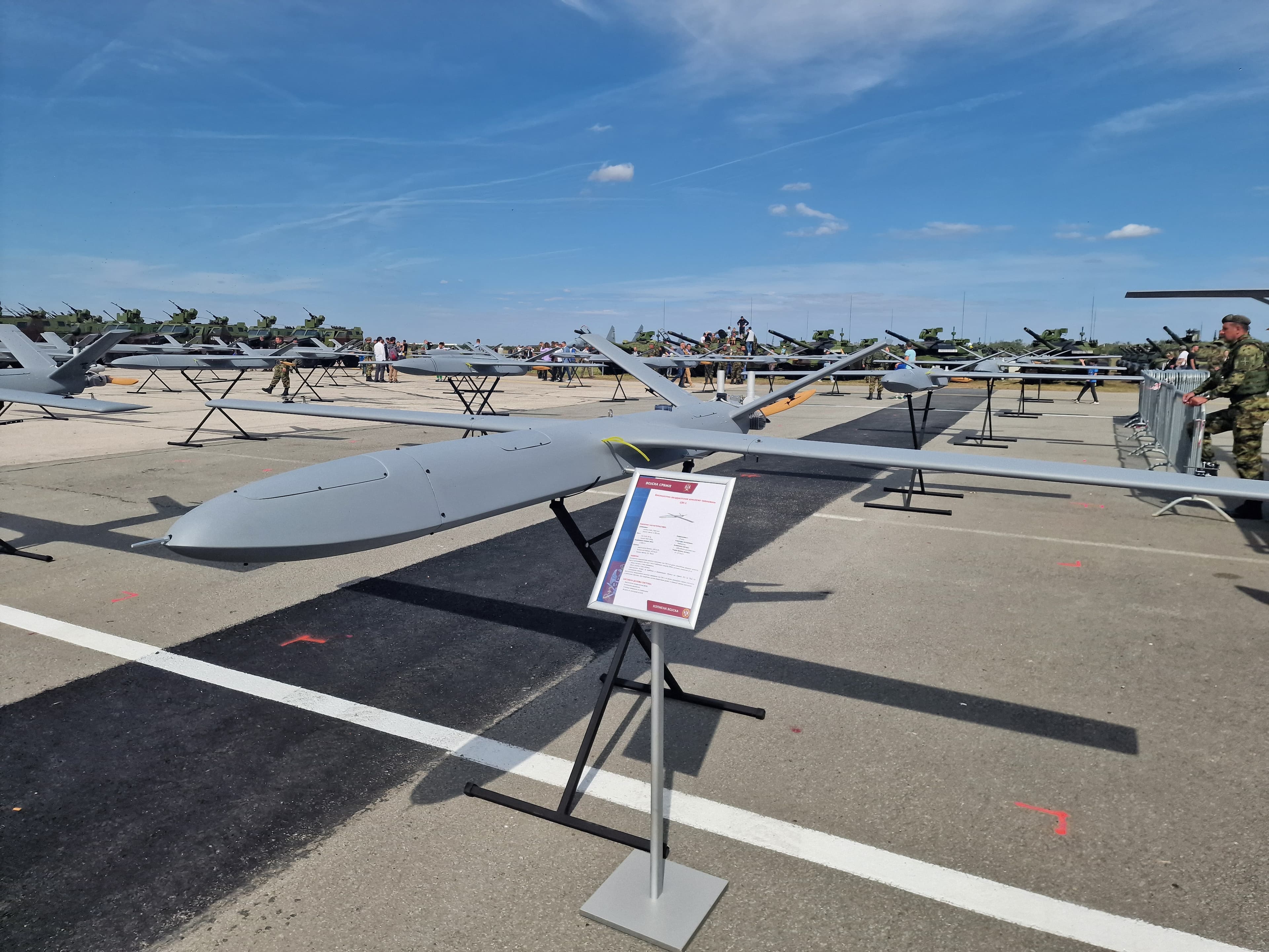
Edge SM2 Kamikaze drone Serbian Army
Beograd007 · 4000×3000

Wadi Rum, Jordan
NASA/GSFC · 1214×1280

N47 and Veldeken roundabout, seen from a hot air balloon, Zele, 2026
DimiTalen · 5197×3464
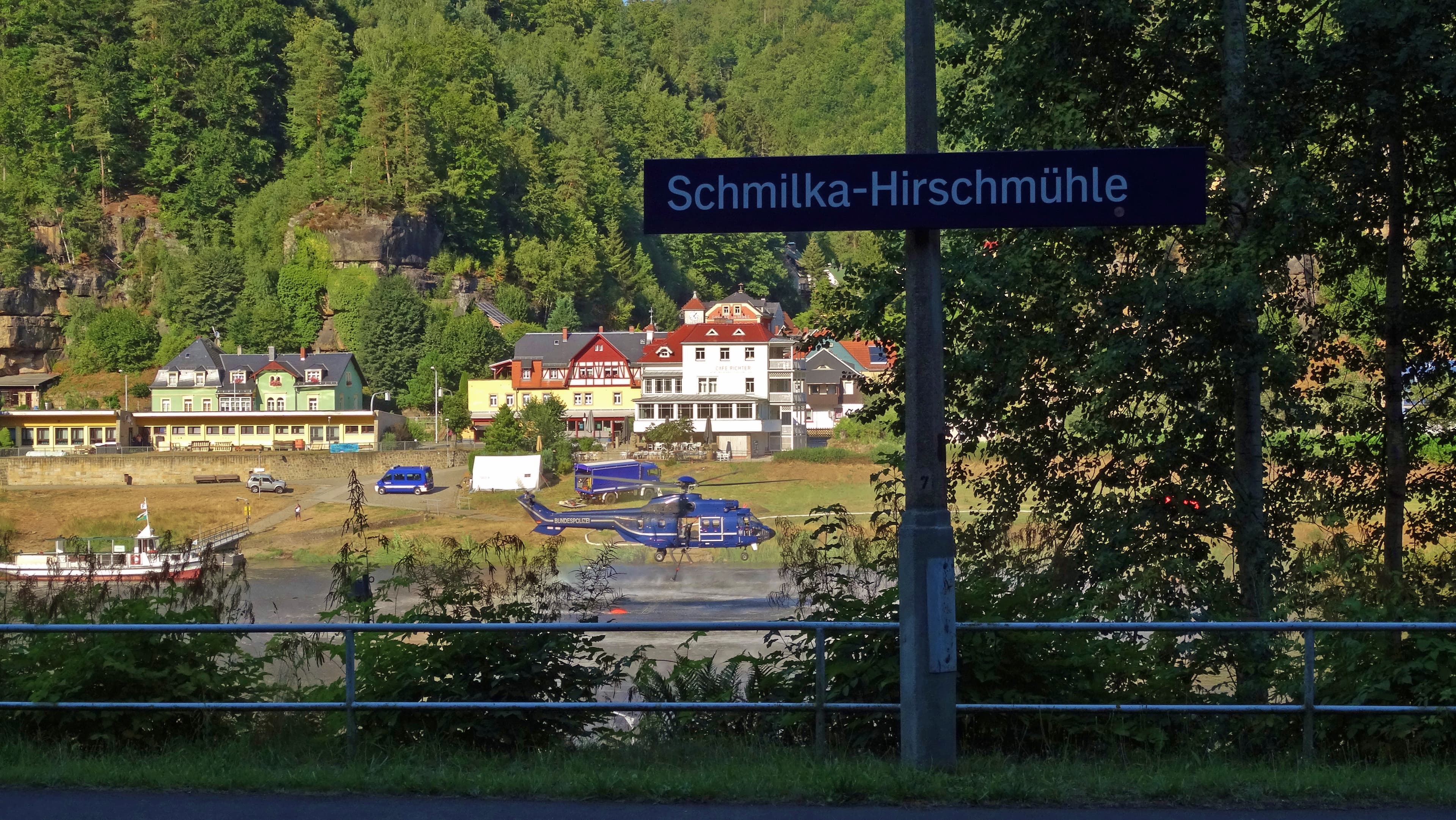
Aerial firefighting in Schmilka 4 8 2022 n4
Own work · 5184×2920

Coast, mountains, aerial
Austin Post · 768×748
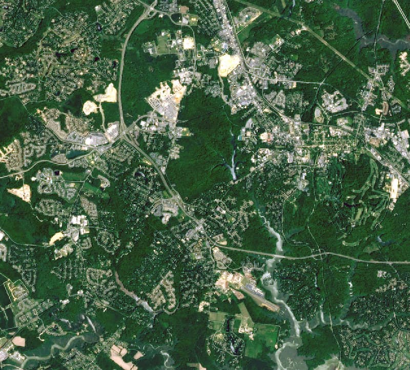
Jamestown, Virginia Closeup Satellite Image (NASA)
pingnews.com · 948×854
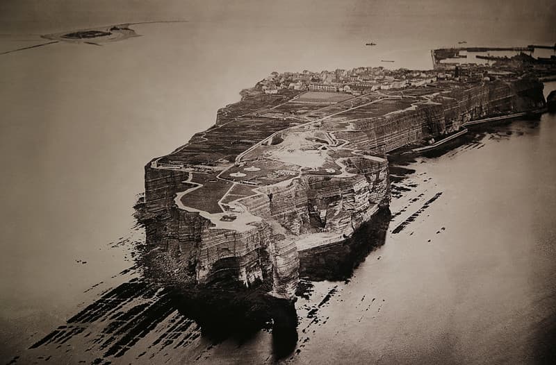
Bird's eye view, Helgoland, c. 1916
B℮n · 1024×673

Plum, brook, reactor
NASA · 1731×1385
Interchange
Steven Lewis · 2365×1774
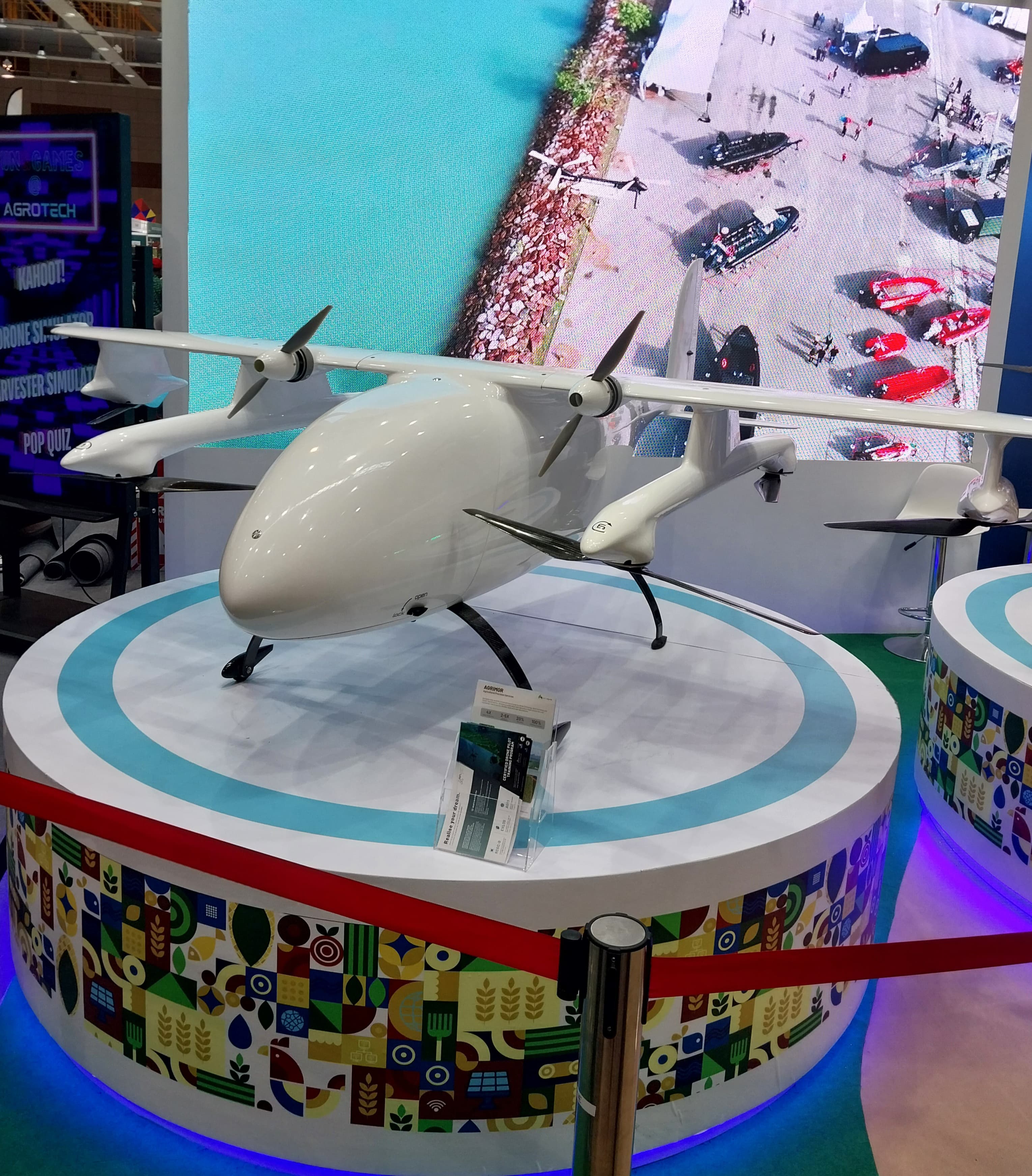
Aerodyne drone 1
Kistara · 3060×3486
Canopy
Charles Yeager · 3992×2992
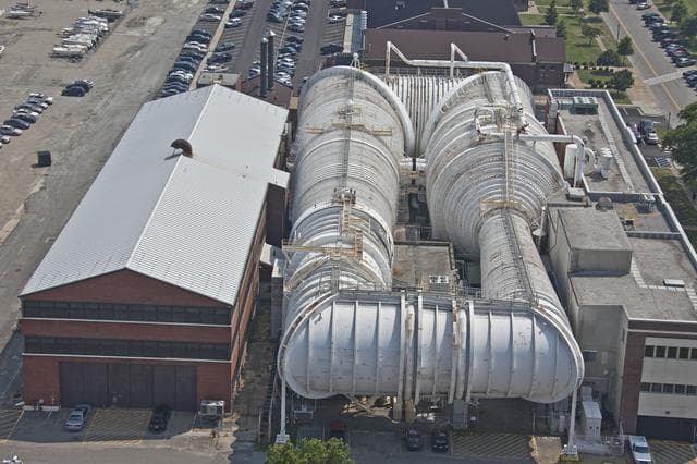
Aerials of NASA Langley Research Center
Sean Smith · 1280×853