Results for “weather”
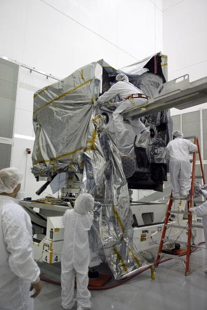
Goes, weather, satellite
NASA/KSC · 856×1280

Artemis I Weather Simulation
NASA/Kim Shiflett · 853×1280
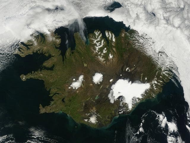
Iceland
NASA/GSFC · 1280×960

Snow falls in Arlington National Cemetery
Arlington National Cemetery · 1024×683

Assembly of Landsat's TIRS Instrument
NASA/GSFC · 1279×847

Mapping an Ice Station
NASA/GSFC · 853×1280

Low clouds in central California
NASA/GSFC · 960×1280

Artemis I Weather Simulation
NASA/Kim Shiflett · 853×1280
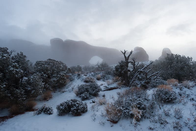
Foggy Morning, North Window
ArchesNPS · 1024×681

Bighill, cloudyday, figures
Wonderlane · 1024×621
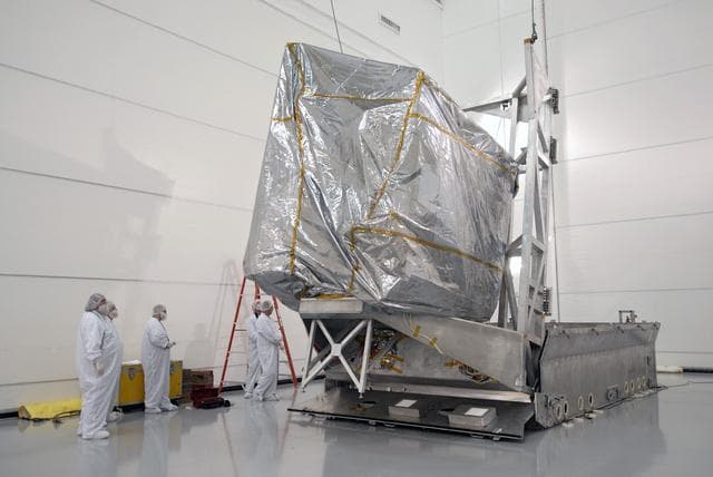
Goes, weather, satellite
NASA/KSC · 1280×856

Landsat's TIRS Instrument
NASA/GSFC · 847×1279

Low clouds over the English Channel
NASA/GSFC · 1280×995

Nor'easter Pounds New England
NASA/GSFC · 1280×1280
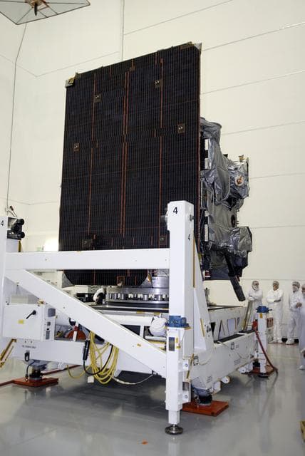
Goes, weather, satellite
NASA/KSC · 856×1280
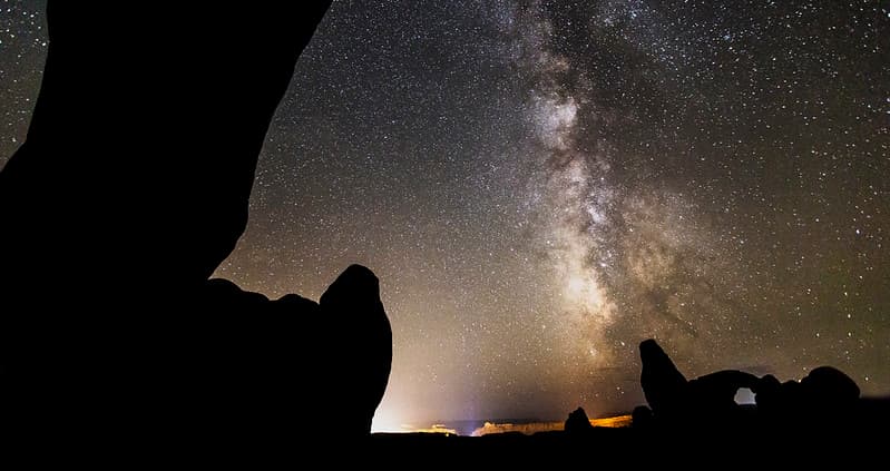
Ambient Light from Moab and Highway 191
ArchesNPS · 1024×542
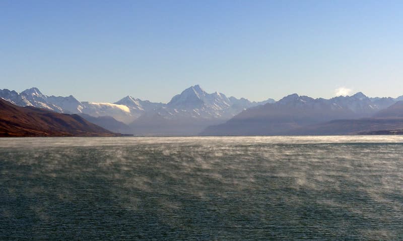
Misty Lake Pukaki and Mt Cook.
Bernard Spragg · 1024×612
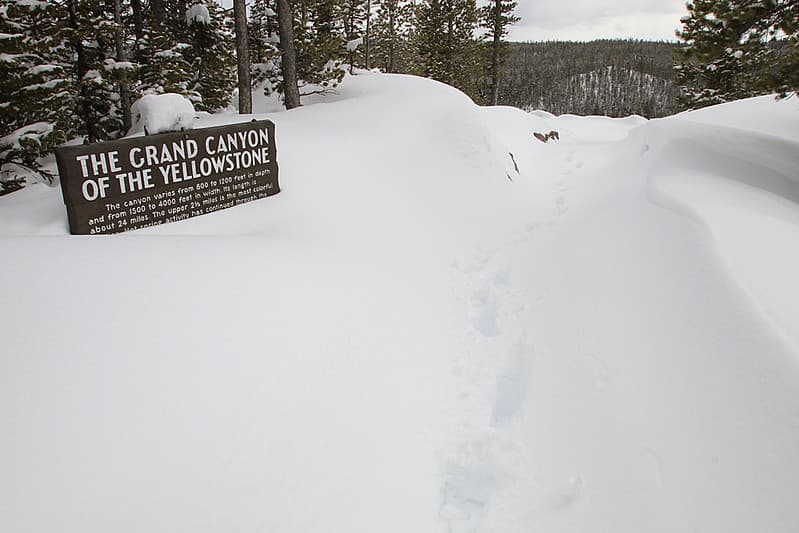
Walkway to Grand View at the Grand Canyon of the Yellowstone
YellowstoneNPS · 1024×683
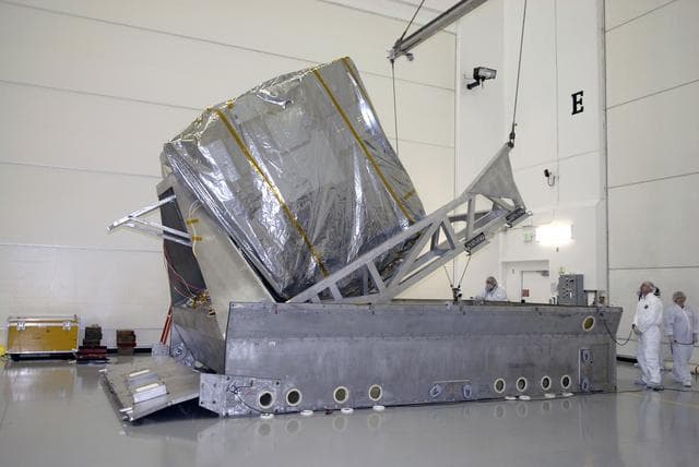
Goes, weather, satellite
NASA/KSC · 1280×856

Heavy Rain
marcostetter · 1024×576
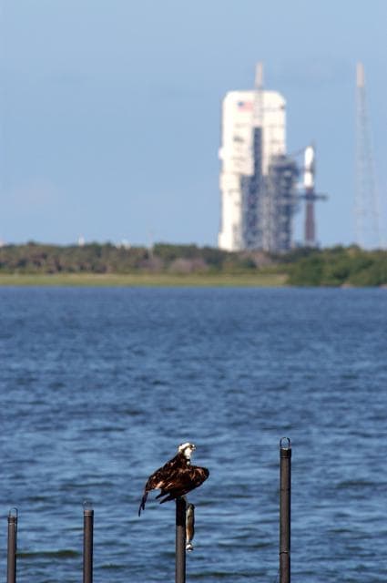
Goes, weather, ccafs
NASA or National Aeronautics and Space Administration · 850×1280

Nor'easter Pounds New England
NASA/GSFC · 1280×1280
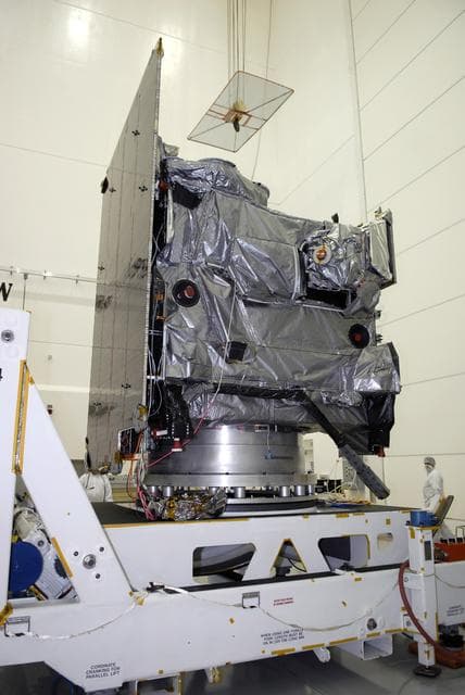
Goes, weather, satellite
NASA/KSC · 856×1280

Global Hawk Aircraft Lands at NASA Wallops for Hurricane Mission
NASA/GSFC · 1280×652
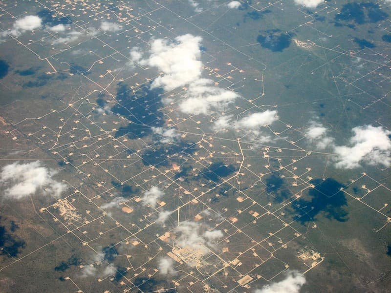
Like A Giant Circuit Board
cogdogblog · 1024×768

Satellite Picture Shows the Snow-covered U.S. Deep Freeze
NASA/GSFC · 1280×1053
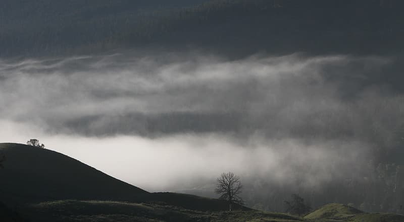
Clouds in Soda Butte Valley
YellowstoneNPS · 1024×564

F-stop gear guru
mkniebes · 1024×684

Rough Sea on a Rocky Coast, Capri
1117_person · 400×267
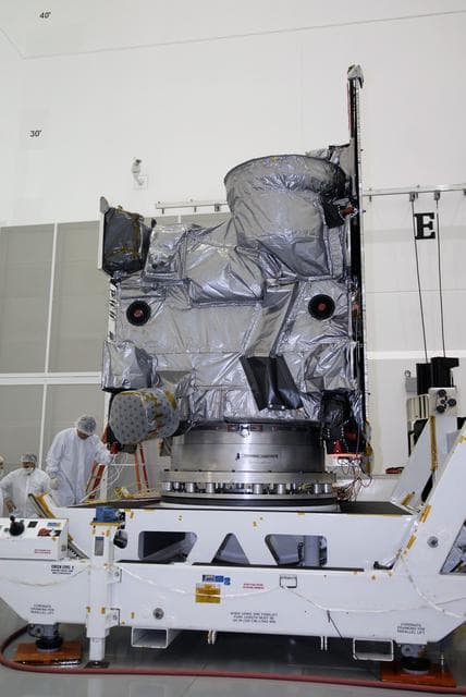
Goes, weather, satellite
NASA/KSC · 856×1280
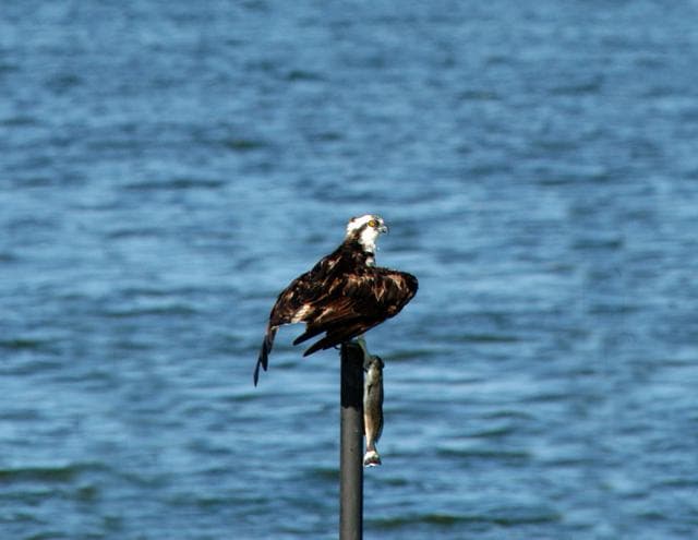
Goes, weather, ccafs
NASA or National Aeronautics and Space Administration · 1280×990

Satellite View of the U.S. Wrapped in a Frozen Blanket
NASA/GSFC · 1280×1066
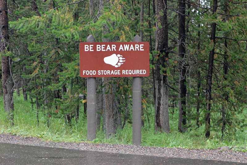
Bridge Bay Campground food storage reminder
YellowstoneNPS · 1024×683

NASA's Aqua Satellite Tracking Super Typhoon Vongfong
NASA/GSFC · 980×1280
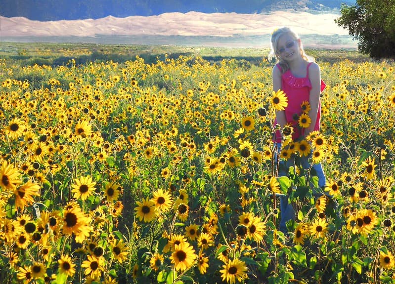
Girl in Sunflowers, Dunes in Background
Great Sand Dunes National Park and Preserve · 1024×736

Satellite Shows Major Winter Storm Hitting the U.S. South
NASA/GSFC · 1280×1066

NASA Sees Hurricane Olaf Move into Central Pacific Ocean
NASA/GSFC · 984×1280
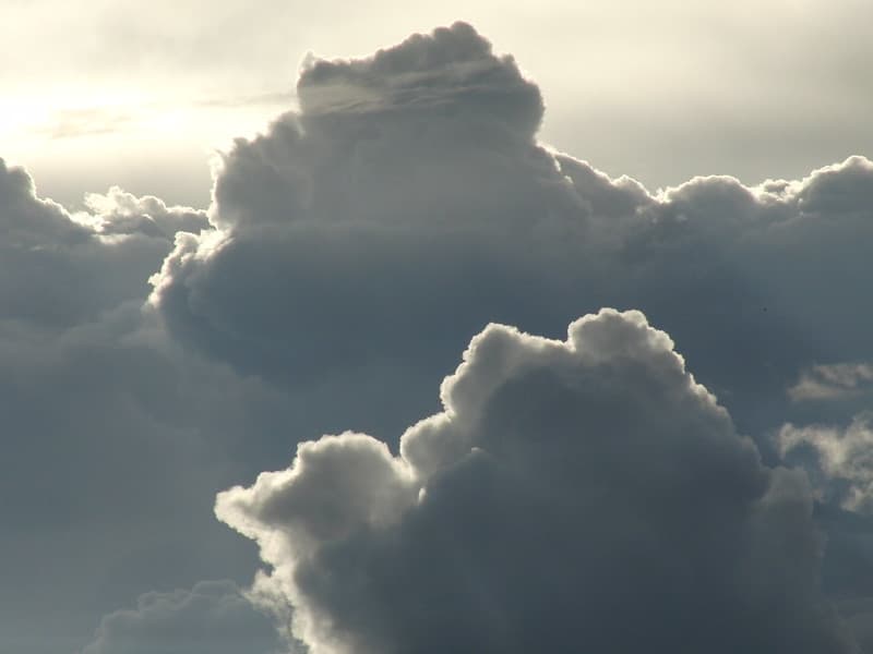
Clouds
mnsc · 1024×768
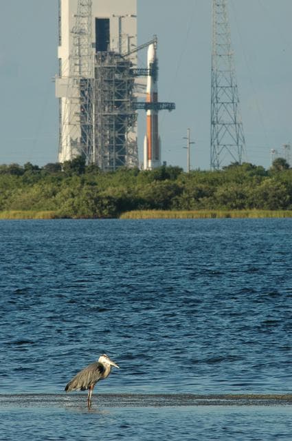
Goes, weather, ccafs
NASA or National Aeronautics and Space Administration · 851×1280

Goes, satellite, sees
NASA/GSFC · 1280×1046