Results for “topography”
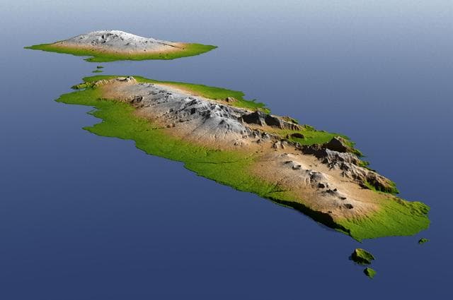
Independent State of Samoa, Shaded Relief and Colored Height
NASA/JPL/NGA · 1280×851
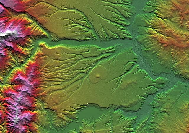
SRTM Colored Height and Shaded Relief: Corral de Piedra, Argentina
NASA/JPL/NIMA · 1280×900
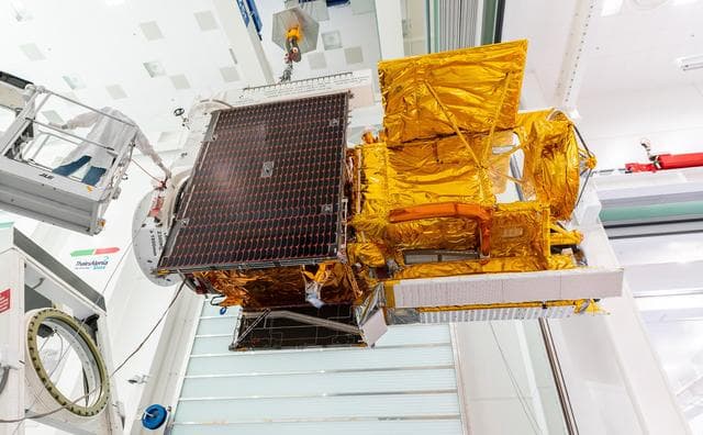
Packing SWOT For Launch
CNES/Thales Alenia Space · 1280×793
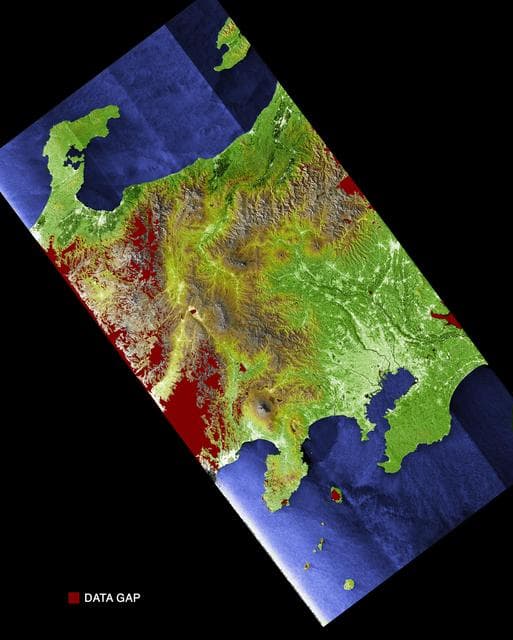
Radar Image with Color as Height: Tokyo, Honshu, Japan
NASA/JPL/NIMA · 1027×1280
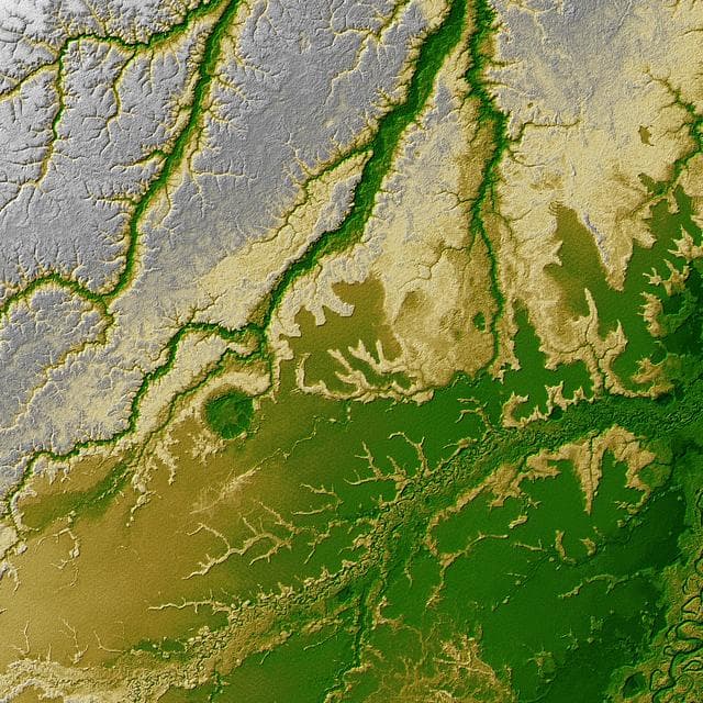
Shaded Relief with Height as Color, Iturralde Structure, Bolivia
NASA/JPL · 1280×1280
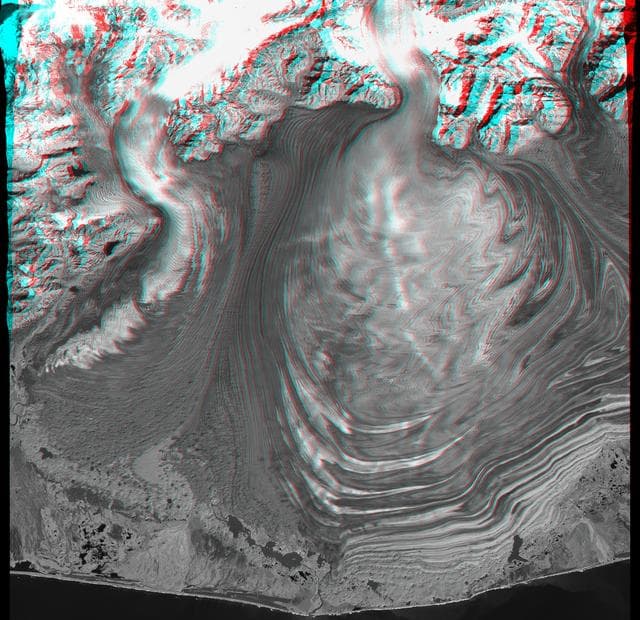
Malaspina Glacier, Alaska, Anaglyph with Landsat Overlay
NASA/JPL/NIMA · 1280×1240
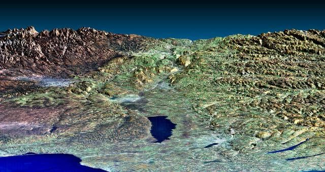
Perspective View, Syracuse, Oneida Lake, Utica, Upstate New York
NASA/JPL/NIMA · 1280×678
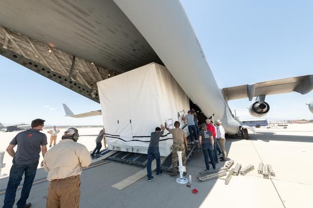
Loading SWOT Into C-17 Aircraft
NASA/JPL-Caltech · 1280×853
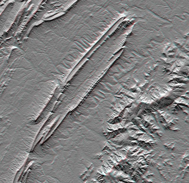
Massanutten Mountain, Virginia, USA Anaglyph
NASA/JPL · 1280×1238
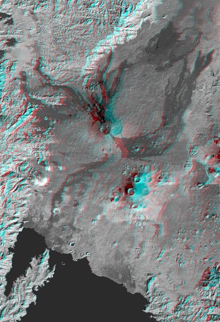
Nyiragongo volcano, Congo, Anaglyph, SRTM / Landsat
NASA/JPL/NIMA · 876×1280
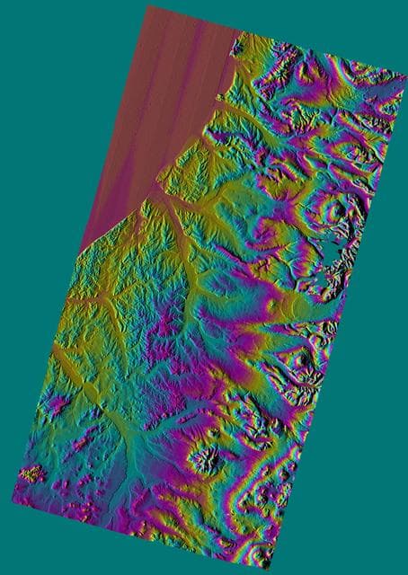
Shaded Relief Color Wrapped, Kamchatka Peninsula, Russia
NASA/JPL/NIMA · 908×1280
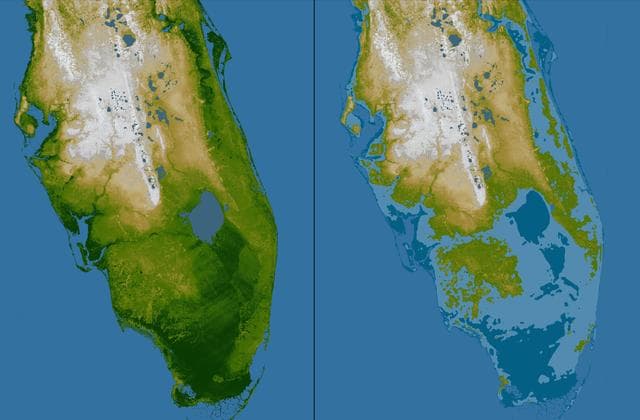
Southern Florida, Shaded Relief and Colored Height
NASA/JPL/NGA · 1280×841
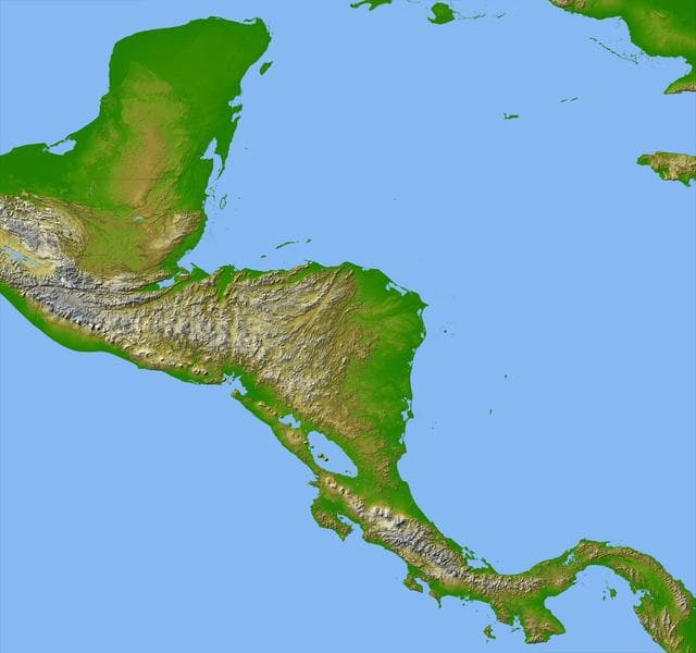
Colored Height and Shaded Relief, Central America
NASA/JPL/NIMA · 1280×1200
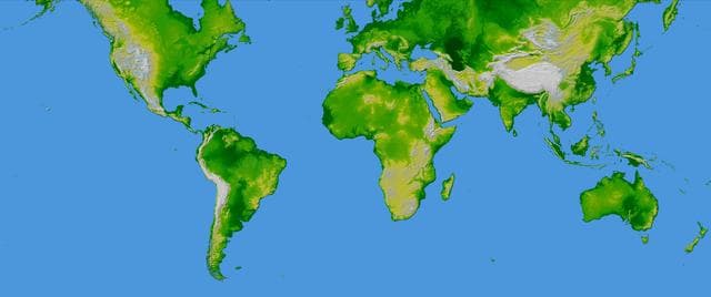
World in Mercator Projection, Shaded Relief and Colored Height
NASA/JPL/NIMA · 1280×536
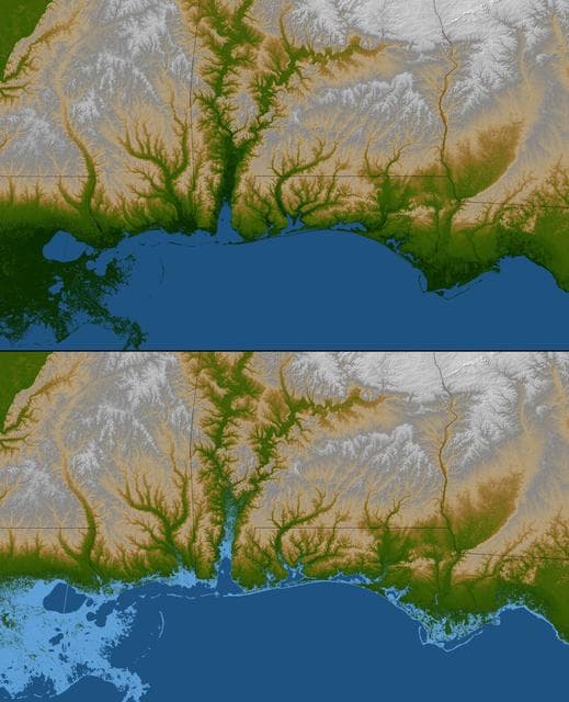
Gulf Coast, Shaded Relief and Colored Height
NASA/JPL/NGA · 1038×1280
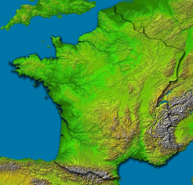
France, Shaded Relief and Colored Height
NASA/JPL/NIMA · 1280×1222
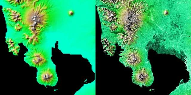
Shaded Relief with Height as Color, Manila Bay, Philippines
NASA/JPL/NIMA · 1280×640
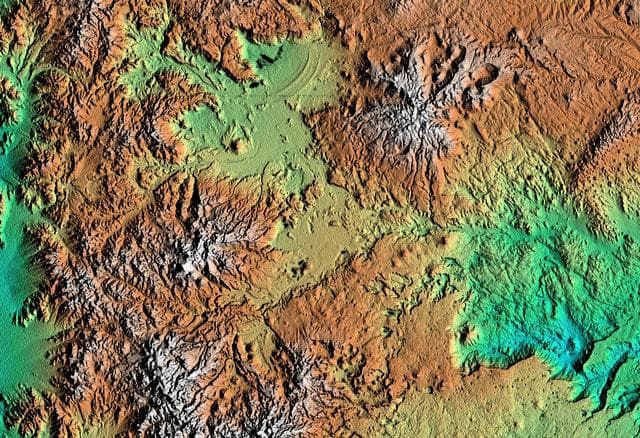
Shaded relief, color as height Patagonia, Argentina
NASA/JPL/NIMA · 1280×877
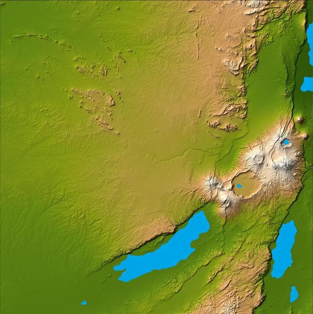
Olduvai Gorge, Shaded Relief and Colored Height
NASA/JPL/NIMA · 1278×1280
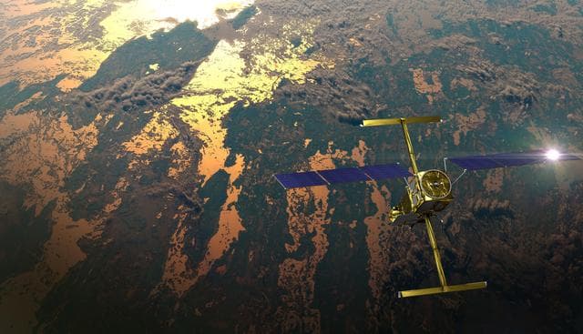
SWOT in Orbit (Illustration)
CNES · 1280×735
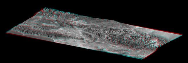
Library of Congress Model, Anaglyph
NASA/JPL/NIMA · 1280×435
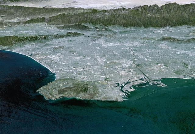
Perspective View with Landsat Overlay, Los Angeles Basin
NASA/JPL/NIMA · 1280×880
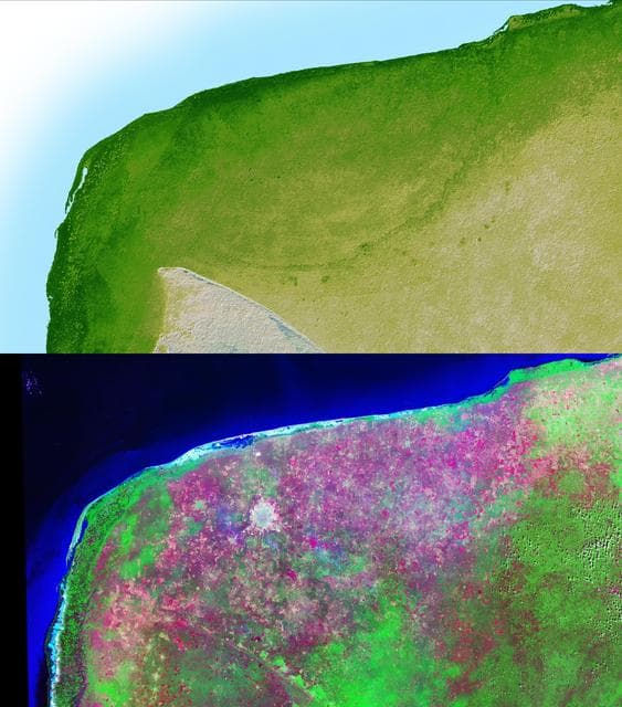
Earth, shuttle, radar
NASA/JPL · 1127×1280
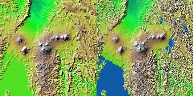
Earth, shuttle, radar
NASA/JPL/NIMA · 1280×640
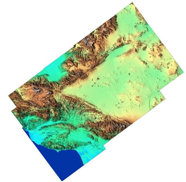
Southern California Shaded Relief, Color as Height
NASA/JPL/NIMA · 1280×1254
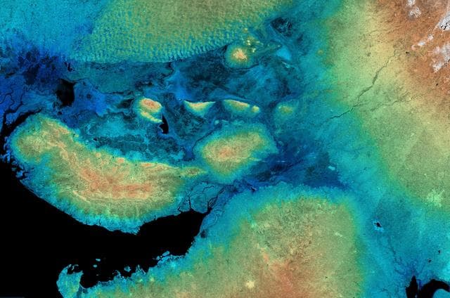
SRTM Radar Image with Color as Height: Kachchh, Gujarat, India
NASA/JPL/NIMA · 1280×849
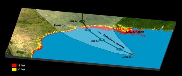
Hurricane Rita Track<br />Radar Image with Topographic Overlay
NASA/JPL/NGA · 1280×539
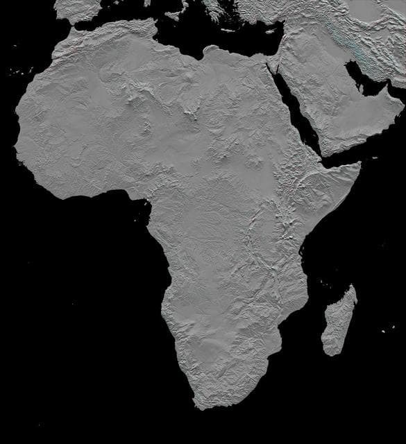
Africa in SRTM 3-D, Anaglyph of Shaded Relief
NASA/JPL/NIMA · 1170×1280
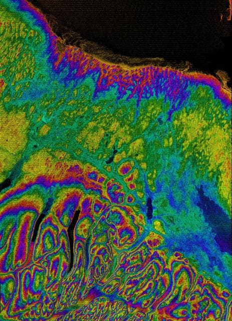
Earth, shuttle, radar
NASA/JPL/NIMA · 926×1280
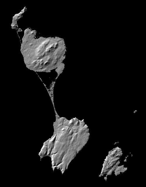
Shaded Relief Image of Saint Pierre and Miquelon
NASA/JPL · 1000×1280
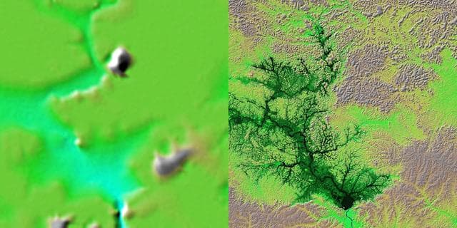
Shaded Relief with Height as Color, Lake Balbina, near Manaus, Brazil
NASA/JPL/NIMA · 1280×640
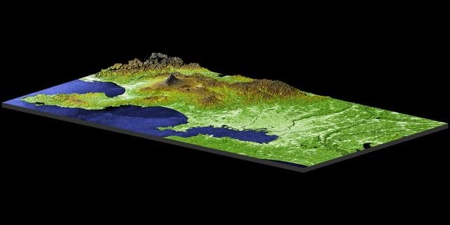
Earth, shuttle, radar
NASA/JPL/NIMA · 1280×640
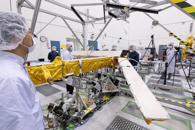
SWOT KaRIn Antenna Test
NASA/JPL-Caltech · 1280×853
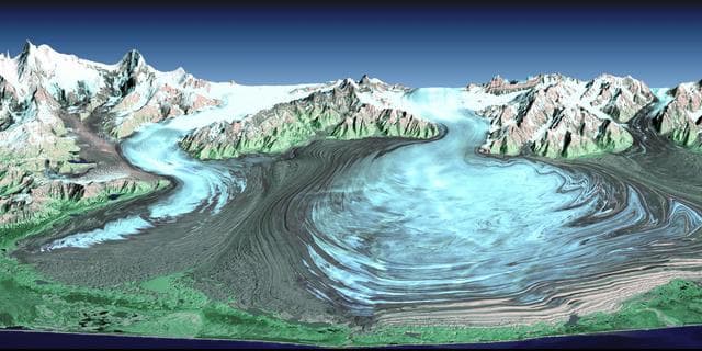
Malaspina Glacier, Alaska
NASA/JPL/NIMA · 1280×640
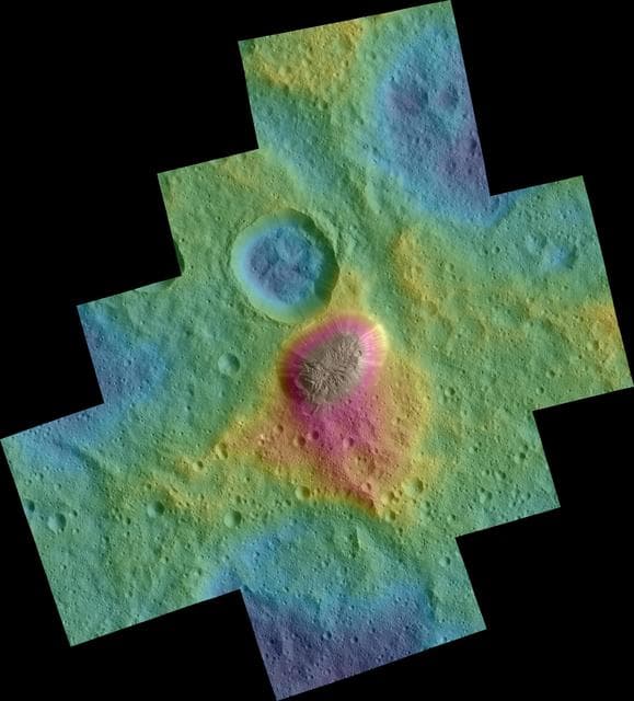
Dawn Color Topography of Ahuna Mons on Ceres
NASA/JPL-Caltech/UCLA/MPS/DLR/IDA · 1158×1280
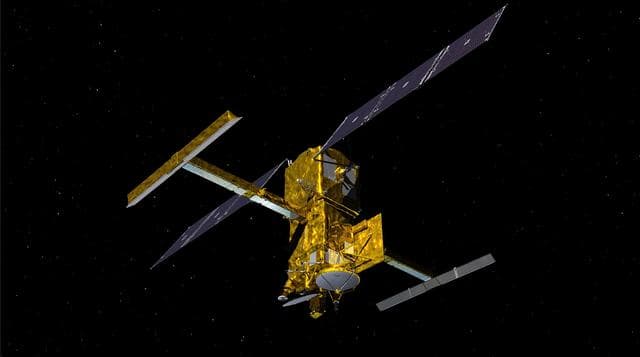
SWOT in Orbit With View of KaRIn Instrument (Illustration)
NASA/JPL-Caltech · 1280×715
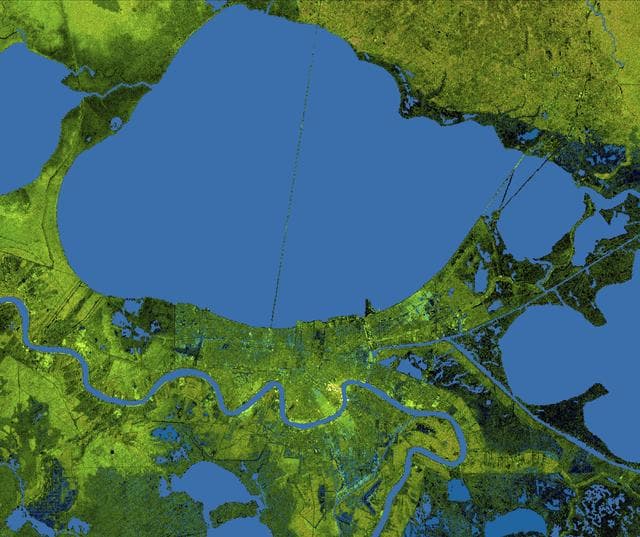
New Orleans Topography, Radar Image with Colored Height
NASA/JPL/NGA · 1280×1074
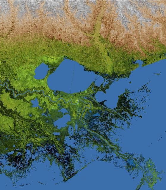
Mississippi Delta, Radar Image with Colored Height
NASA/JPL/NGA · 1117×1280
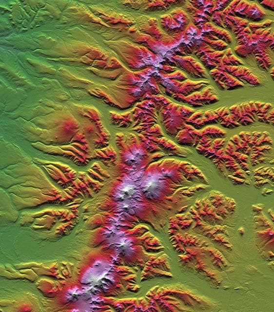
Earth, shuttle, radar
NASA/JPL/NIMA · 1125×1280