Results for “satellite”
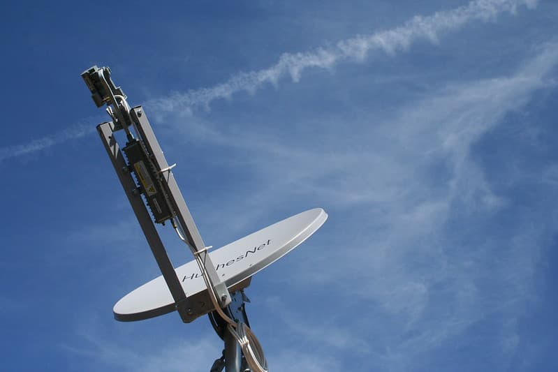
Dish and Sky
cogdogblog · 1024×683

One Web Satellites Ground Breaking
NASA/Kim Shiflett · 1280×853
Bryght, cameraphone, google
roland · 176×208
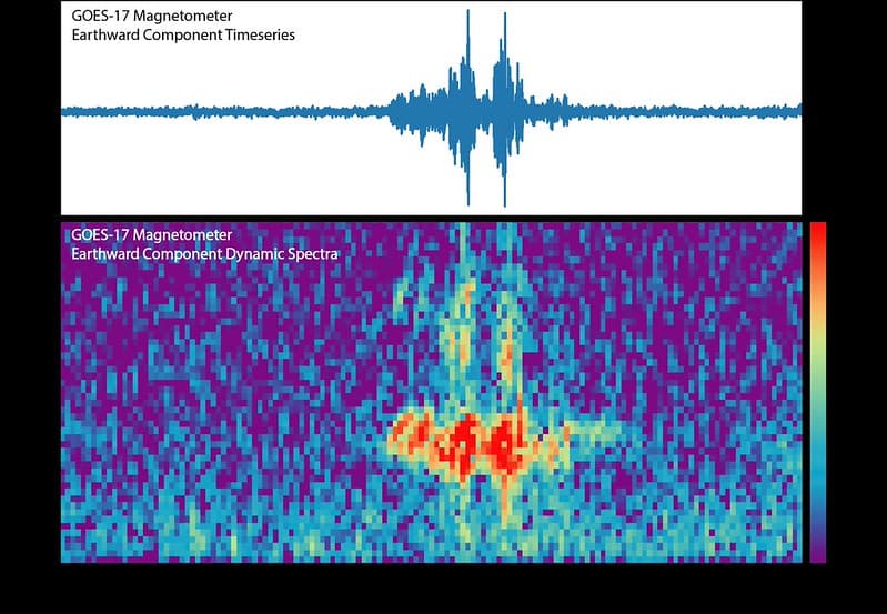
First GOES-17 Magnetometer Data
NOAASatellites · 1024×708
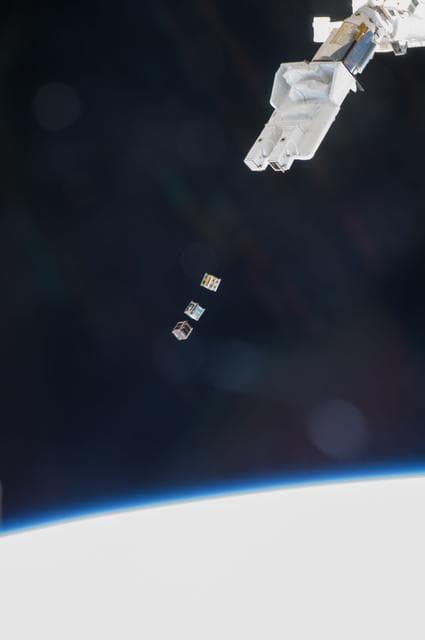
Small Cube Satellite Deploy
NASA/JSC · 851×1280
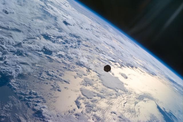
PANSAT satellite deployment from STS-95 Discovery's payload bay
NASA/JSC · 1280×853

NASA Satellite Captures Super Bowl Cities - Boston/Providence
NASA/GSFC · 1280×1280
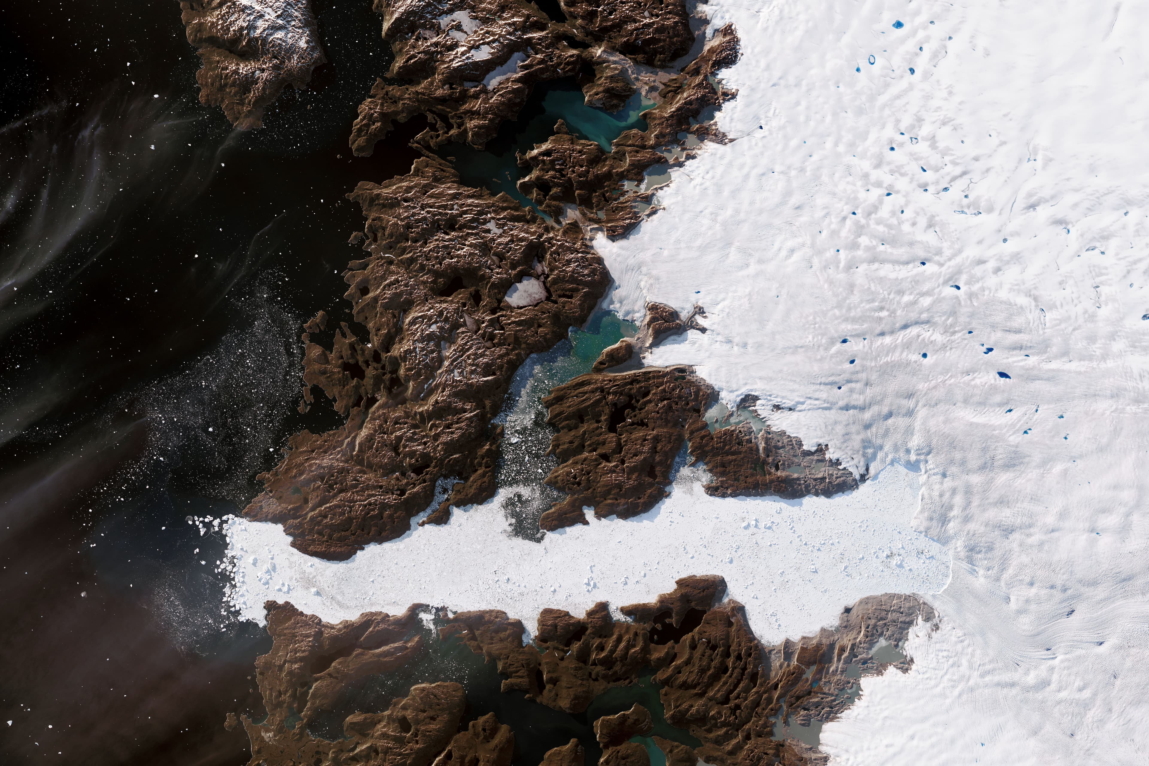
Major Greenland Glacier Is Growing
NASA Earth Observatory images by Joshua Stevens, using Landsat data from the U.S. Geological Survey, and data courtesy of Josh Willis/NASA JPL and the Oceans Melting Greenland (OMG) Program. Story by Kathryn Hansen. · 6707×4471
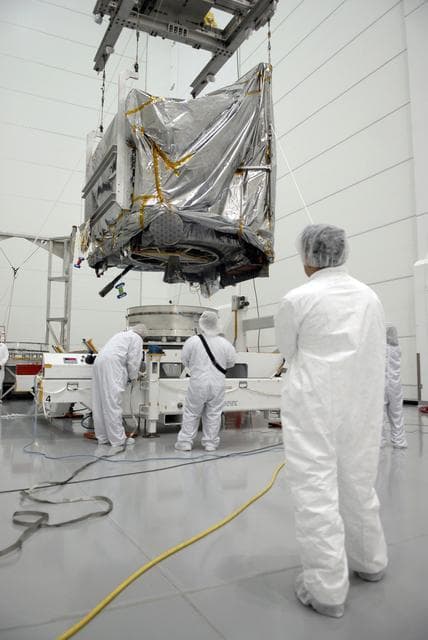
Goes, weather, satellite
NASA/KSC · 856×1280

NOAA-NESDIS satellite image of January 1997 floods
NOAA · 925×903

Pegasus XL CYGNSS Microsats Installation on Deployment Module
USAF · 1280×854
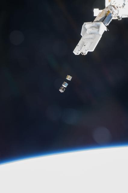
Small Cube Satellite Deploy
NASA/JSC · 851×1280

Satellite, florida, noaa
NOAA · 800×800
Earth Western Hemisphere
Reto Stöckli (land surface, shallow water, clouds) Robert Simmon (enhancements: ocean color, compositing, 3D globes, animation) Data and technical support: MODIS Land Group; MODIS Science Data Support Team; MODIS Atmosphere Group; MODIS Ocean Group Additional data: USGS EROS Data Center (topography); USGS Terrestrial Remote Sensing Flagstaff Field Center (Antarctica); Defense Meteorological Satellite Program (city lights). · 2048×2048

Echo 30" Sub Satellite
NACA · 957×1280

One Web Satellites Ground Breaking
NASA/Kim Shiflett · 1280×853

Preparing a TIROS-N satellite for launch (2268-269)
NOAA · 1176×1820

Satellite picture of Brittany - NASA, 2002
Credit: Jacques Descloitres, MODIS Rapid Response Team, NASA/GSFC · 1386×1049
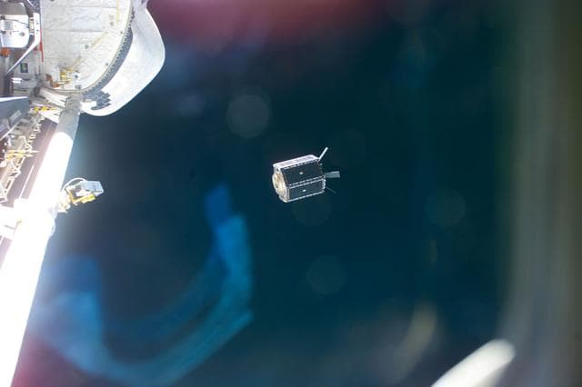
MightySat, a 705-pound U.S. Air Force/Phillips Laboratory satellite
NASA/JSC · 1280×853
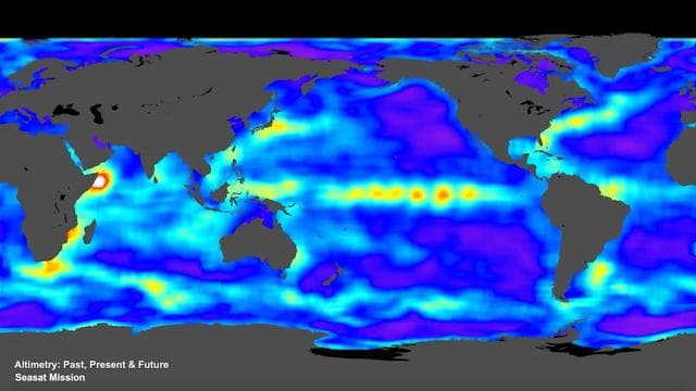
Surface, water, ocean
NASA · 1280×720
Earth Eastern Hemisphere
Reto Stöckli (land surface, shallow water, clouds) Robert Simmon (enhancements: ocean color, compositing, 3D globes, animation) Data and technical support: MODIS Land Group; MODIS Science Data Support Team; MODIS Atmosphere Group; MODIS Ocean Group Additional data: USGS EROS Data Center (topography); USGS Terrestrial Remote Sensing Flagstaff Field Center (Antarctica); Defense Meteorological Satellite Program (city lights). · 2048×2048

NASA Satellite Captures Super Bowl Cities - Phoenix [annotated]
NASA/GSFC · 1280×930
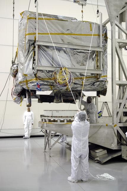
Goes, weather, satellite
NASA/KSC · 856×1280
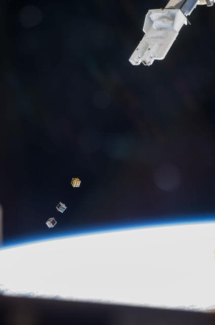
Small Cube Satellite Deploy
NASA/JSC · 851×1280

Pegasus XL CYGNSS Mate to L-1011
30SW/Dan Herrera · 1280×854
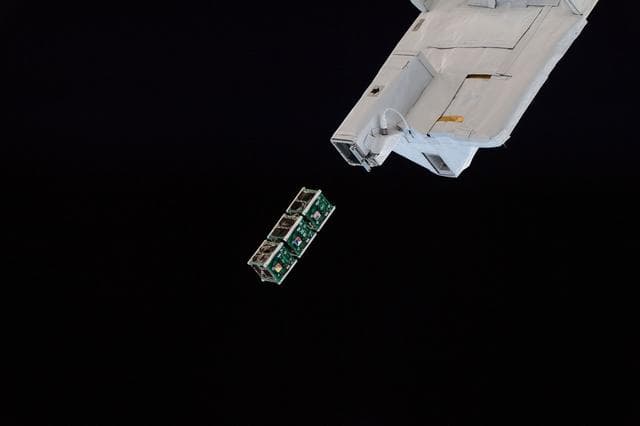
BIRDS-2 Satellite Deployment
Serena Auñón-Chancellor · 1280×853

One Web Satellites Ground Breaking
NASA/Kim Shiflett · 1280×853
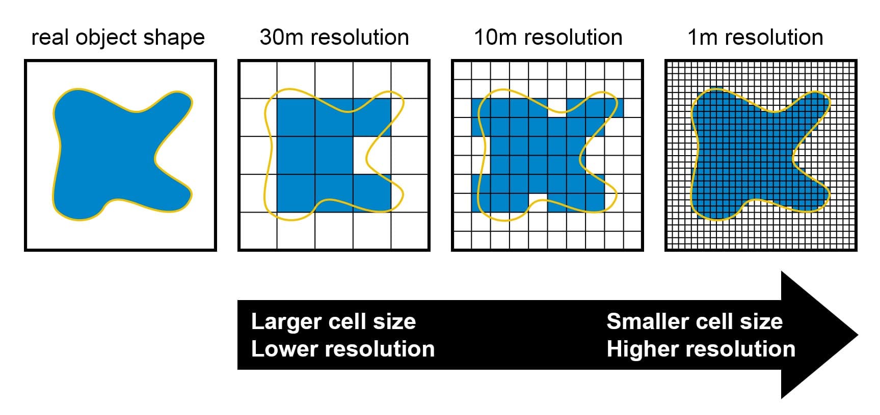
Satellite imagery resolution diagram
Koreller · 1727×816

Compositing, satellite, scotland
NASA Goddard Space Flight Center Image by Reto Stöckli (land surface, shallow water, clouds). Enhancements by Robert Simmon (ocean color, compositing, 3D globes, animation). Data and technical support: MODIS Land Group; MODIS Science Data Support Team; MODIS Atmosphere Group; MODIS Ocean Group Additional data: USGS EROS Data Center (topography); USGS Terrestrial Remote Sensing Flagstaff Field Center (Antarctica); Defense Meteorological Satellite Program (city lights). · 905×1098

100' Satellite Packaging of Echo
NASA, Taub and Cross · 981×1280

Satellite, florida, noaa
NOAA · 800×800
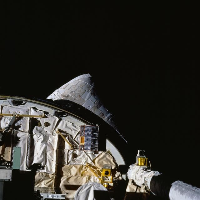
BREMSAT satellite launched from STS-60 Discovery cargo bay
NASA/JSC · 1280×1276

Mudcracks, noaa, montages
NOAA image · 1434×809
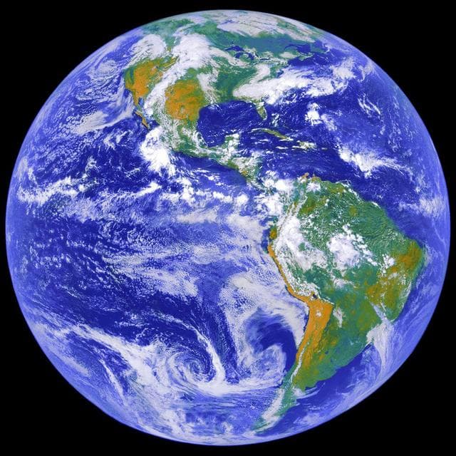
Earth Science
NASA/MSFC · 1280×1280
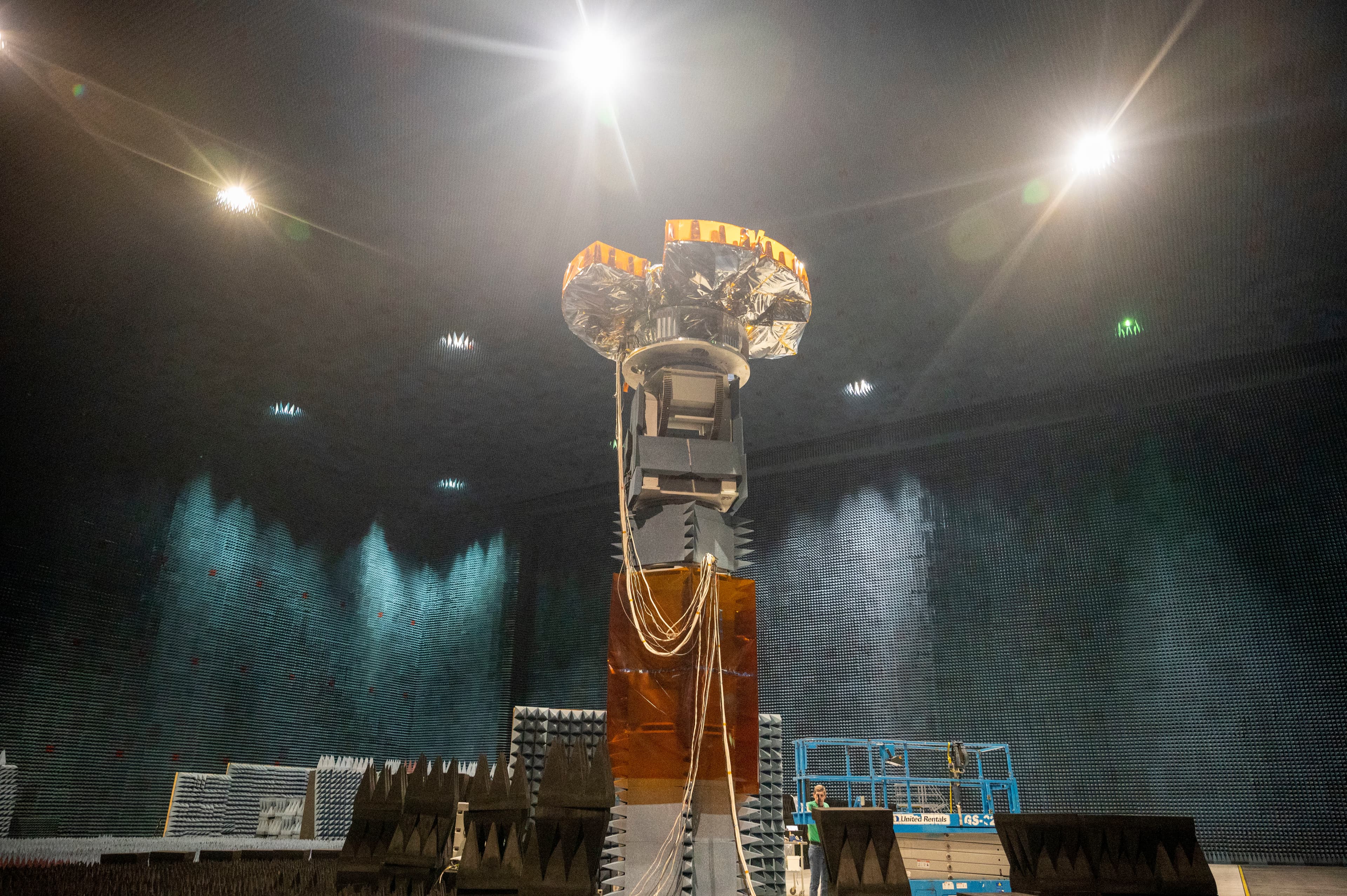
Benefield, anechoic, facility
Adam Bowles · 6048×4024
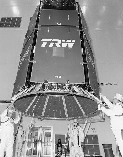
STS-29 tracking and data relay satellite D (TDRS-D) mating at KSC VPF
NASA/JSC · 998×1280
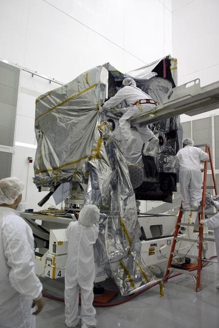
Goes, weather, satellite
NASA/KSC · 856×1280

Pegasus XL CYGNSS Microsats Installation on Deployment Module
NASA/Rod Speed · 1280×854
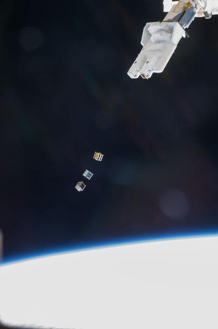
Small Cube Satellite Deploy
NASA/JSC · 851×1280
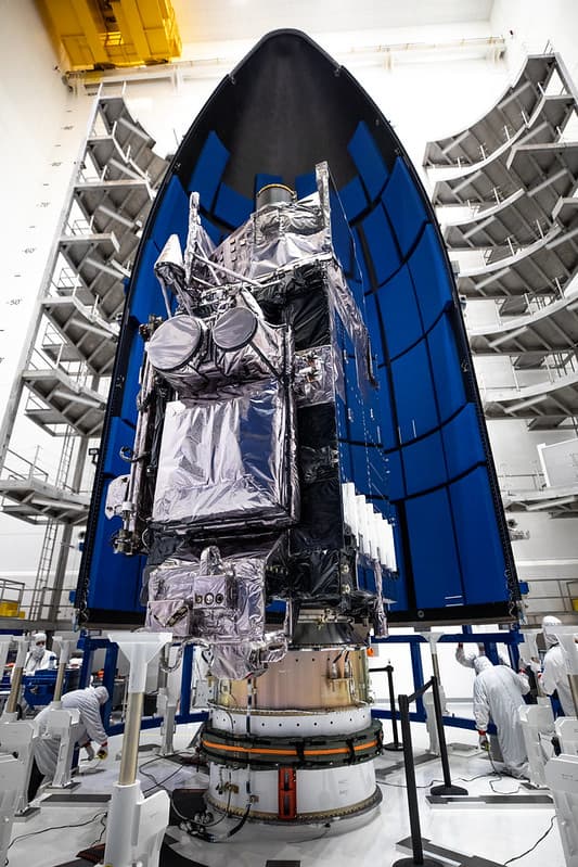
GOES-T Satellite Encapsulation
NOAASatellites · 683×1024