Results for “satellite”
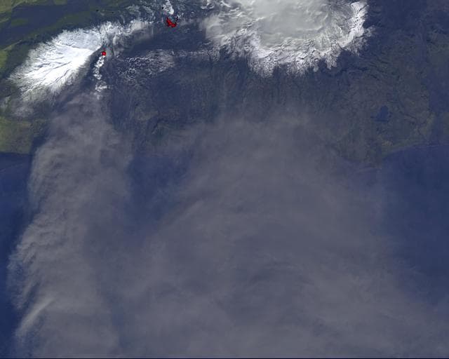
NASA Satellite Tracks Continued Eruption of Iceland Volcano
NASA/GSFC/METI/ERSDAC/JAROS, and U.S./Japan ASTER Science Team · 1280×1025

Satellite control
NASA · 1280×1024
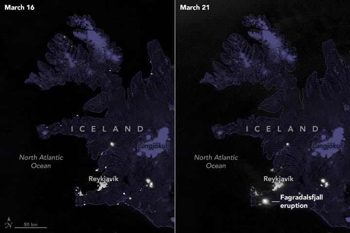
Fagradalsfjall eruption VIIRS
Joshua Stevens · 720×480

Africa and Europe from a Million Miles Away
NASA · 1780×1768
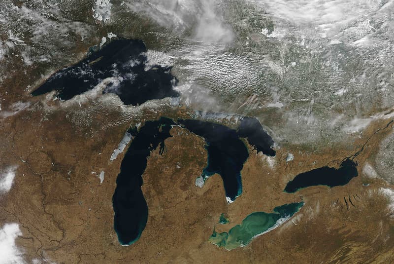
MODIS Satellite Inage
NOAA Great Lakes Environmental Research Laboratory · 1024×685

Presat, satellite, acd
NASA/ARC · 1280×859
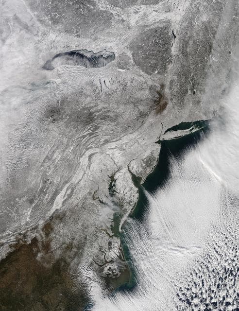
NASA's Aqua Satellite Sees a Northeastern Snowy Blanket
NASA/GSFC · 984×1280
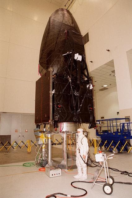
Tracking, data, relay
NASA/KSC · 852×1280
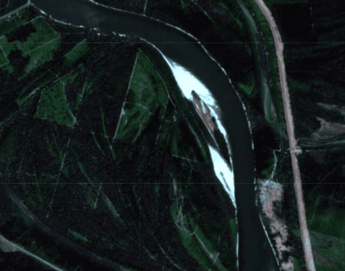
Satellite view of Luminska island
European Space Agency (ESA) / Copernicus Programme · 705×555
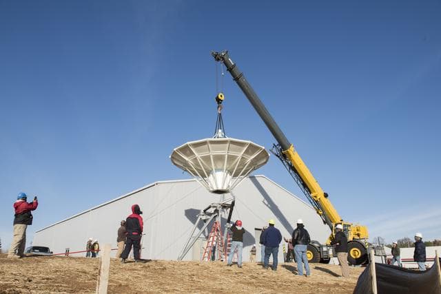
Setting a new satellite receiving antenna
CHARLES BEASON · 1280×854

Pegasus XL CYGNSS Microsats Installation on Deployment Module
NASA/Rod Speed · 854×1280

Satellite control
NASA · 1280×1024

Icefall, Lambert Glacier, Antarctica
NASA/GSFC · 1277×1280
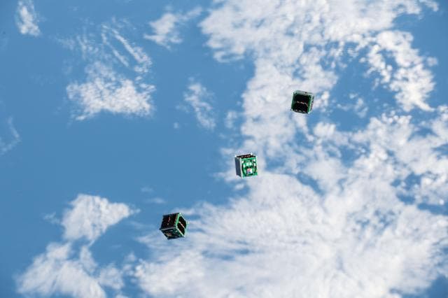
BIRDS-2 Satellite Deployment
Serena Auñón-Chancellor · 1280×853
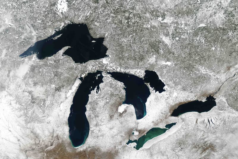
MODIS satellite image
NOAA Great Lakes Environmental Research Laboratory · 1024×685

Satellite, powerful, winter
NASA/GSFC · 1280×1280
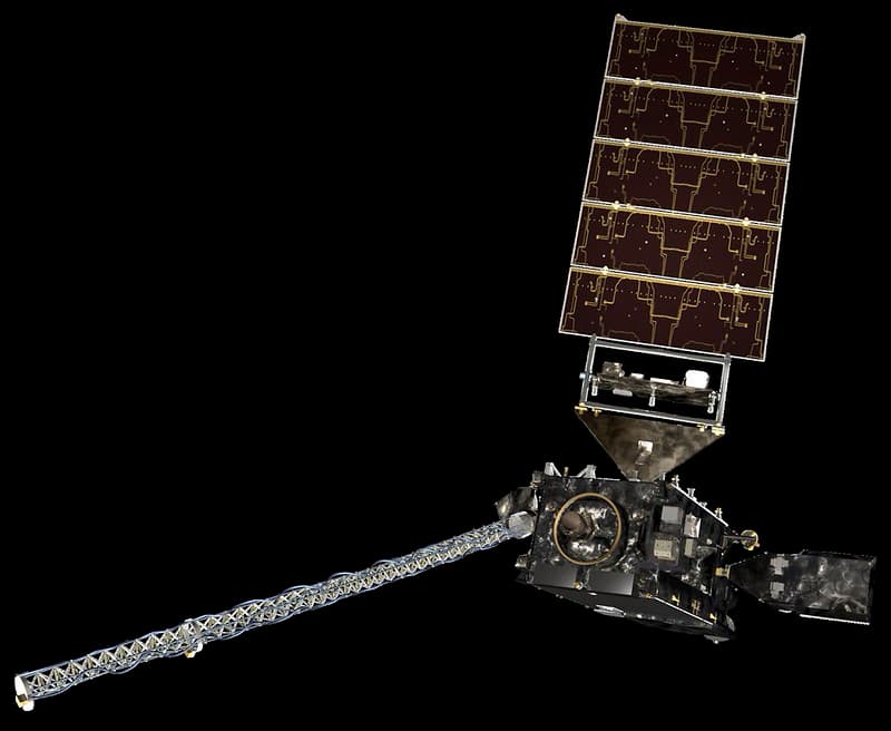
GOES-R Spacecraft Art with Detailed Solar Panels
NOAASatellites · 1024×839

Presat, satellite, acd
NASA/ARC · 909×1280
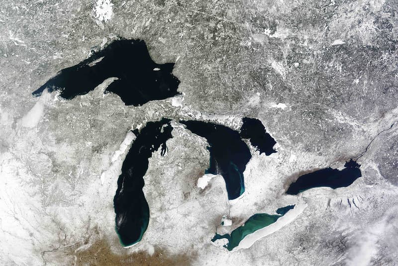
MODIS satellite image
NOAA Great Lakes Environmental Research Laboratory · 1024×685
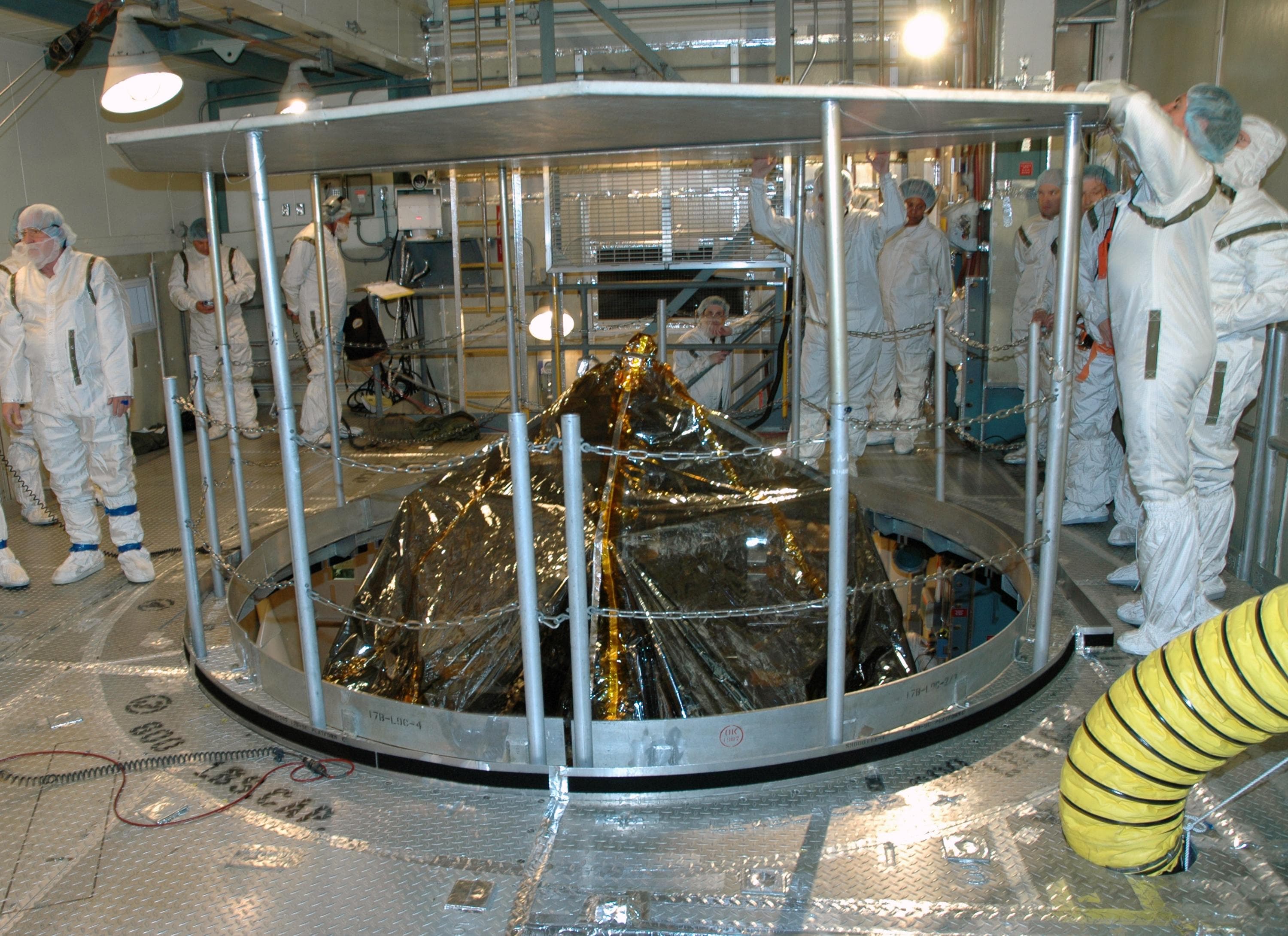
Themis, satellite, cleanrooms
Unknown · 3000×2180
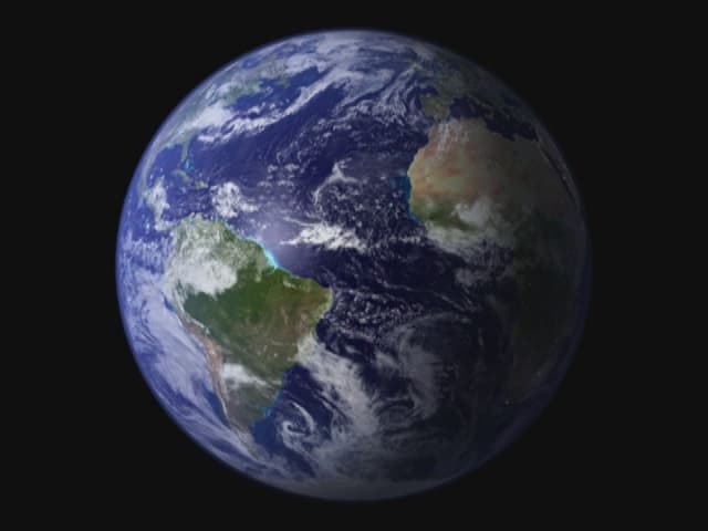
Blue Marble Animation (4401845574)
NASA/Goddard Space Flight Center · 640×480

Pegasus XL CYGNSS Microsats Installation on Deployment Module
USAF · 854×1280

Satellite Control Simulator Emphasizing Flywheel Magnet Control
NASA · 1280×1023

Satellite control
NASA · 1280×1024
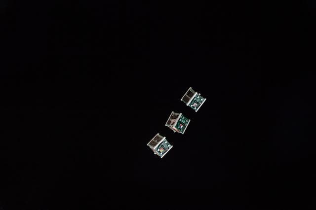
BIRDS-2 Satellite Deployment
Serena Auñón-Chancellor · 1280×853
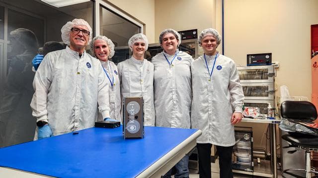
Nanoracks, killick, satellite
NASA/JSC · 1280×720

Earth Western Hemisphere
Reto Stöckli (land surface, shallow water, clouds) Robert Simmon (enhancements: ocean color, compositing, 3D globes, animation) Data and technical support: MODIS Land Group; MODIS Science Data Support Team; MODIS Atmosphere Group; MODIS Ocean Group Additional data: USGS EROS Data Center (topography); USGS Terrestrial Remote Sensing Flagstaff Field Center (Antarctica); Defense Meteorological Satellite Program (city lights). · 2048×2048
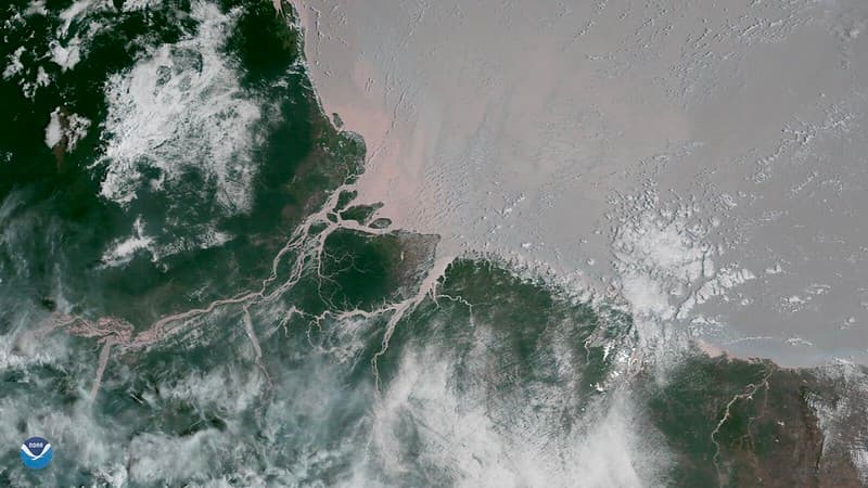
Amazonriver, bestof, coralreefs
NOAASatellites · 1024×576
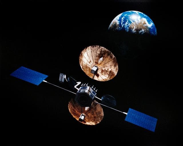
Artist concept of satellite in orbit above the earth
NASA/JSC · 1280×1023

Satellite, powerful, winter
NASA/GSFC · 1280×1066

Geostationary, operational, environmental
NOAA · 1780×1196

Presat, satellite, acd
NASA/ARC · 948×1280

Akpatok Island
NASA/GSFC · 1280×1272

Satellite Control Simulator Emphasizing Flywheel Magnet Control
NASA · 1280×1024

Satellite control
NASA · 1280×1024

Satellite View of the Americas on Earth Day
NASA/GSFC · 1280×1280
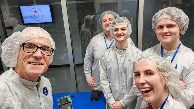
Selfie, killick, satellite
NASA/JSC · 1280×720

Pegasus XL CYGNSS Microsats Installation on Deployment Module
NASA/Rod Speed · 1280×854

Geostationary, operational, environmental
NOAA · 1524×1192
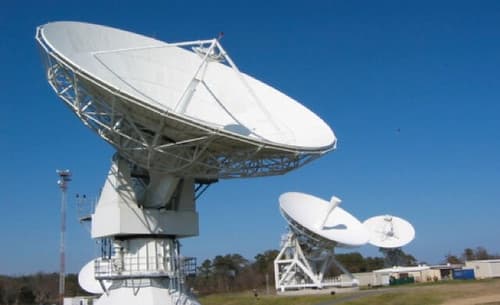
Wallops Command and Data Acquisition Station Antennas
NOAASatellites · 500×306