Results for “south”
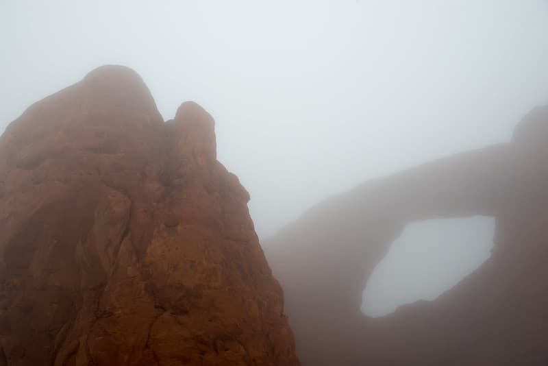
A dreamy South Window.
ArchesNPS · 1024×683
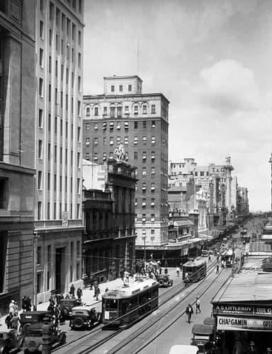
Queen Street, Brisbane looking south, October 1930
Queensland State Archives · 384×500

Southern Harbour
952_person · 400×327
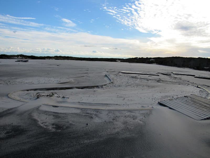
South Ocean Beach, MD District
AssateagueNPS · 1024×768
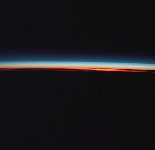
Earth's limb and cloud silhouette in Southern Hemisphere
NASA/JSC · 1280×1245
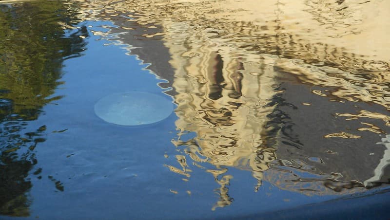
State Library of South Australia, reflected in the Barr Smith Fountain
Fairy Duff · 1024×578
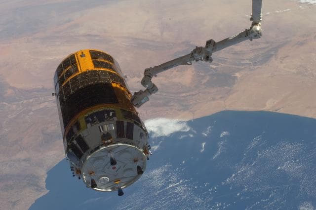
Sept, oblique, southwest
NASA/JSC · 1280×850
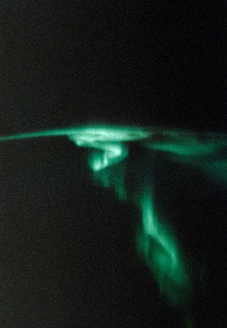
STS-45 Earth observation of the Aurora Australis or Southern Lights
NASA/JSC · 888×1280

Fish Market, South Street, Manhattan (NYPL b13668355-482702)
Berenice Abbott · 2415×1625
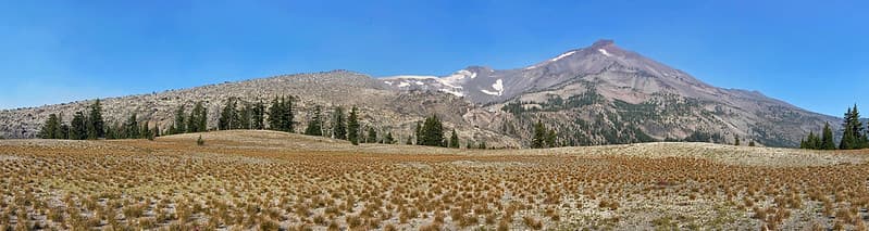
South Sister Mountain in OR
landscapesinthewest · 1024×273

Arrival of the "Southern Barbarians"
Cleveland Museum of Art · 900×410

Hunting Party by a Southern Harbour
38120_person · 400×276
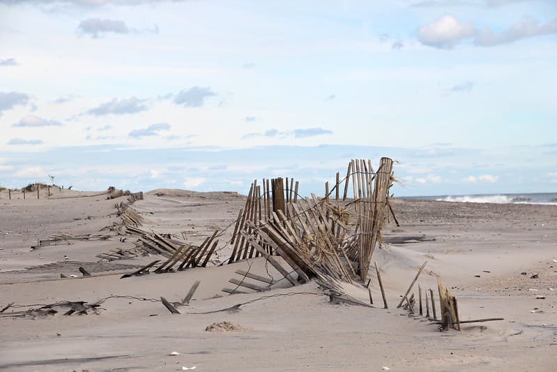
Sandfence South Ocean Beach, MD District
AssateagueNPS · 1024×683
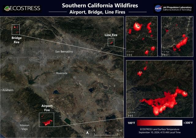
Southern California Wildfires Captured by NASA's ECOSTRESS
NASA/JPL-Caltech · 1280×905
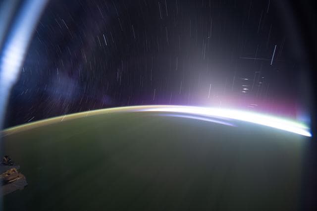
Star trails and an orbital sunrise above the southern Indian Ocean
NASA/JSC · 1280×853

Solar panels house Yate, South
Unknown · 1980×1470
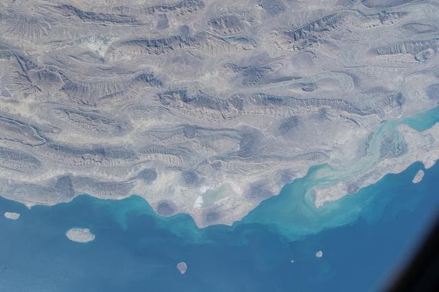
Semi, desert, southern
NASA/JSC · 1280×853

Mar-a-Lago, Living Room looking southwest (1967)
Jack Boucher · 4745×3322

View in South Market Street, Boston (Boston Public Library)
BPL · 1500×1036
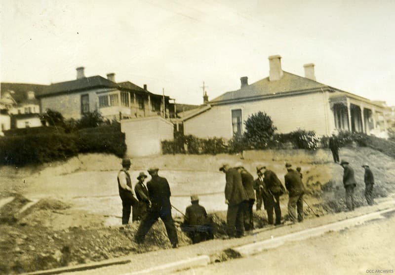
Cable Laying - Main South Road, c1920
Dunedin City Council Archives · 1024×713
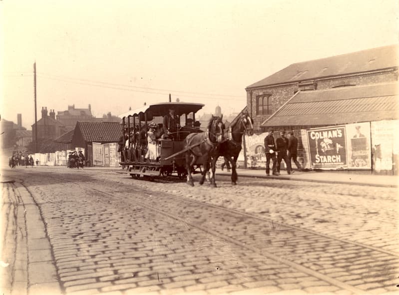
035438:Horse-drawn tram Station Road South Shields Unknown 1879
Newcastle Libraries · 1024×757
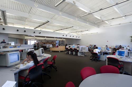
South Mountain Community College Computing Commons
cogdogblog · 500×331
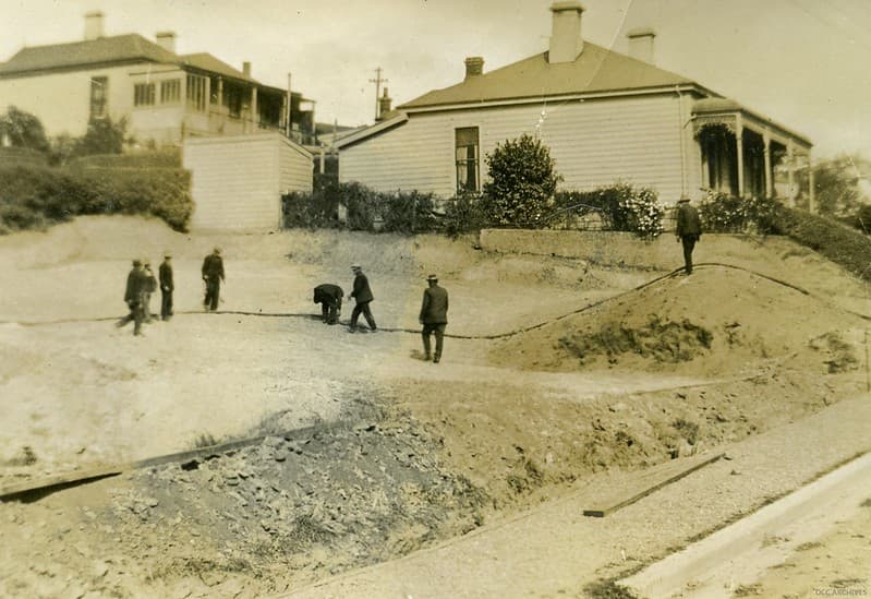
Cable Laying - Main South Road, c1920
Dunedin City Council Archives · 1024×703
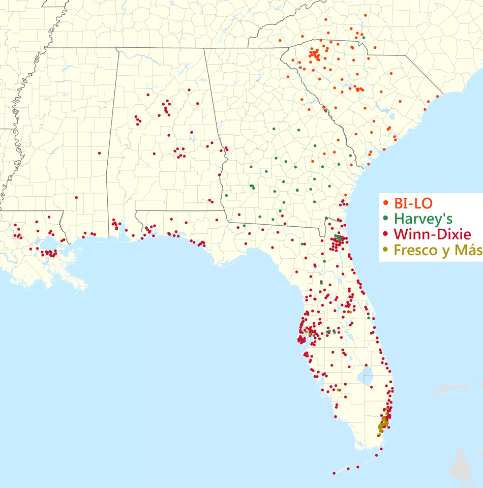
Southeastern Grocers footprint 2020 December
BoringJim USA North Carolina location map.svg : Alexrk2 USA South Carolina location map.svg : Alexrk USA Georgia location map.svg : Alexrk2 USA Florida location map.svg : Eric Gaba ( Sting - fr:Sting ) USA Tennessee location map.svg : Alexrk USA Alabama location map.svg : Alexrk2 USA Mississippi location map.svg : Alexrk2 USA Arkansas location map.svg : Alexrk2 USA Louisiana location map.svg : Alexrk2 Compilation map: Magog the Ogre · 950×960

Cable Laying - Main South Road, c1920
Dunedin City Council Archives · 1024×733
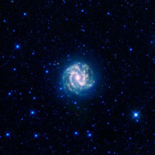
Southern Pinwheel
NASA/JPL-Caltech/UCLA · 1280×1280
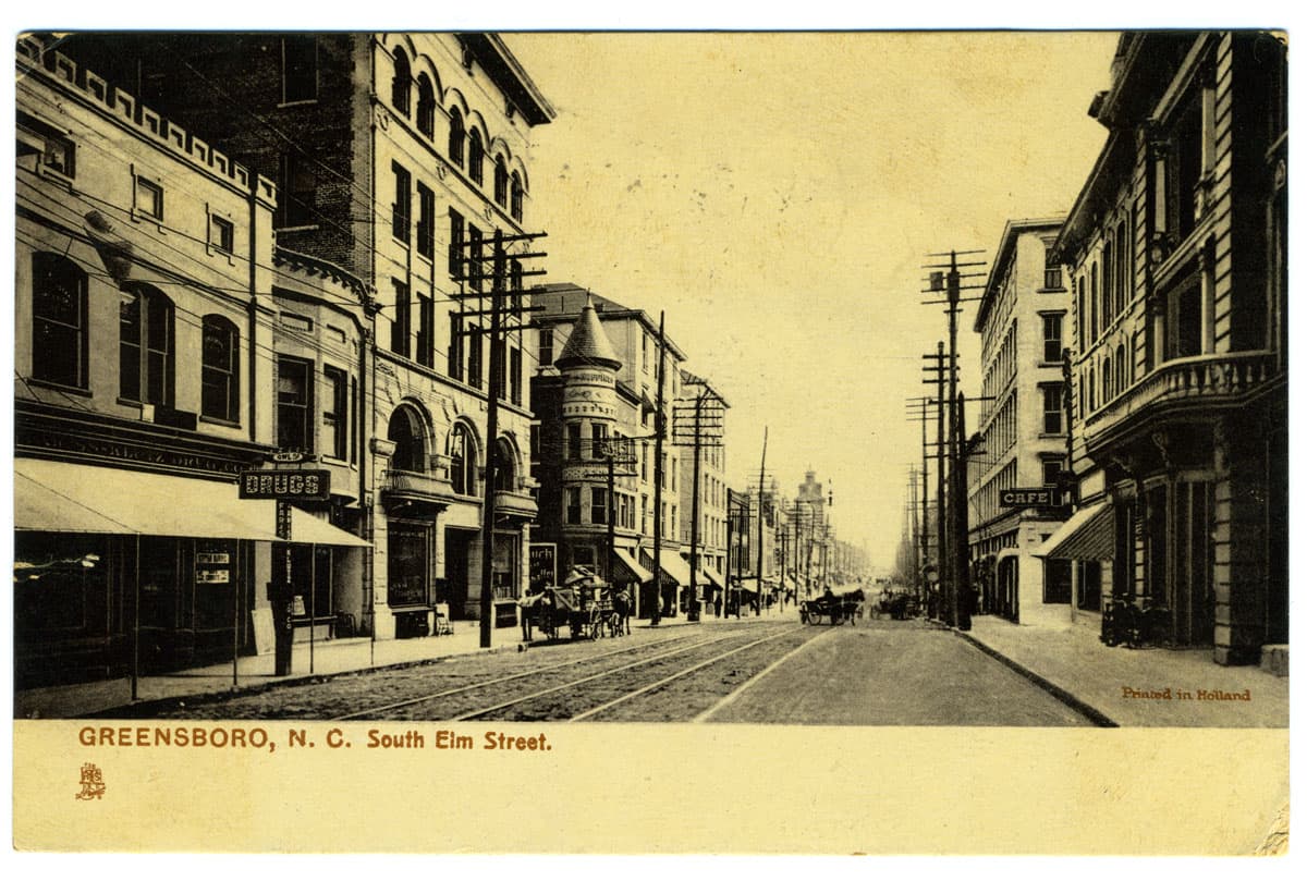
Greensboro, N.C. South Elm Street
UNC Libraries Commons · 1200×809

Snow in southwestern Europe
NASA/GSFC · 1280×920

Arrival of the "Southern Barbarians"
Cleveland Museum of Art · 900×820
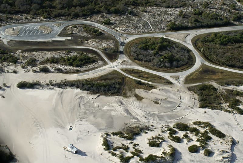
South Ocean Beach parking lot
AssateagueNPS · 1024×685
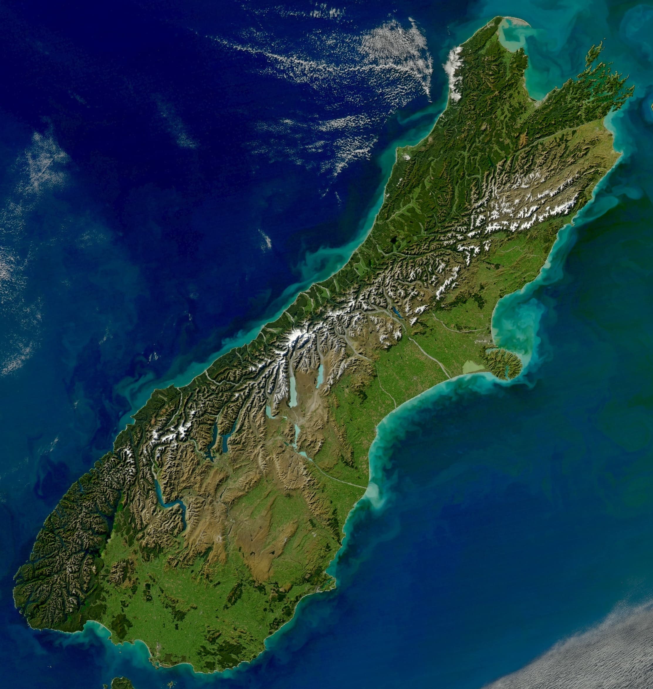
South Island satelite photo
Norman Kuring · 2226×2347
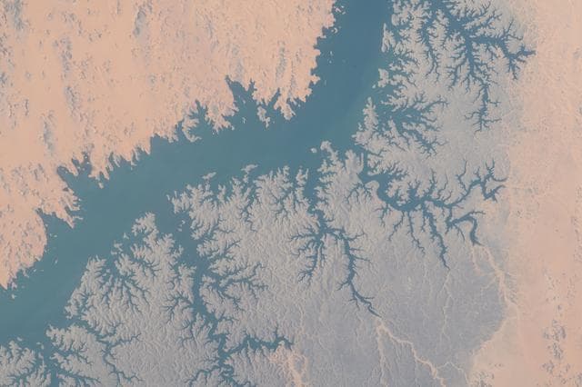
Lake Nasser in southern Egypt
NASA/JSC · 1280×853
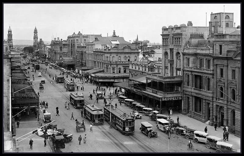
King William Street, Adelaide, South Australia 1923
State Library of South Australia · 1024×653

Antiquities, southern, indians
Jones, Charles C. (Charles Colcock), 1831-1893 · 2140×3578
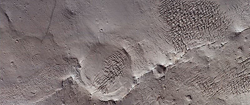
Mars - Valley Network in South-Central Arabia Terra
mariagatmariagat · 1024×432
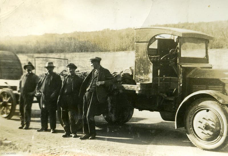
Cable Laying - Main South Road, c1920
Dunedin City Council Archives · 1024×701
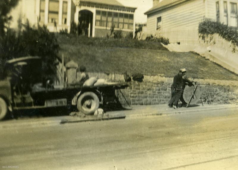
Cable Laying - Main South Road, c1920
Dunedin City Council Archives · 1024×732
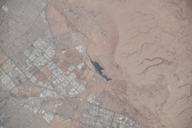
April, southwest, portion
NASA/JSC · 1280×853
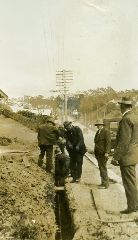
Cable Laying - Main South Road, c1920
Dunedin City Council Archives · 589×1024
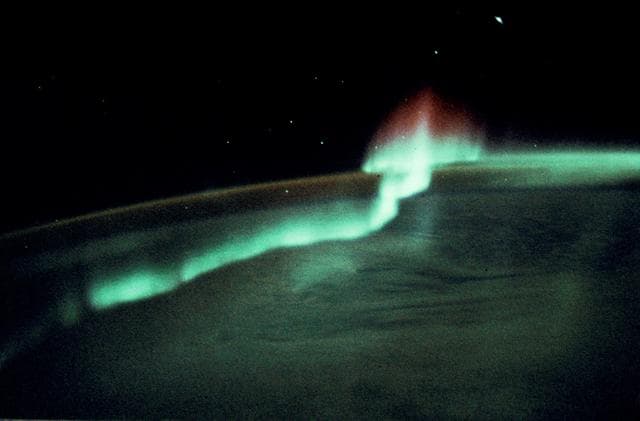
Aurora over the Southern Hemisphere
NASA/JSC · 1280×842