Results for “satellite”

Pegasus XL CYGNSS Mate to L-1011
30SW/Dan Herrera · 1280×854
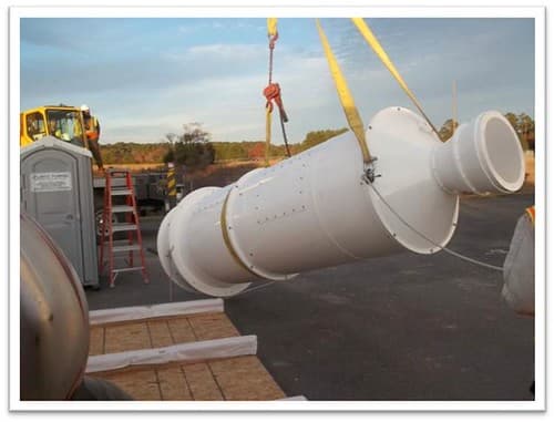
GOES-R Antenna Feed Installed at WCDAS
NOAASatellites · 500×381

Satellite loop of Tornado Outbreak of Dec 10-11, 2021.gif
US National Weather Service · 754×568
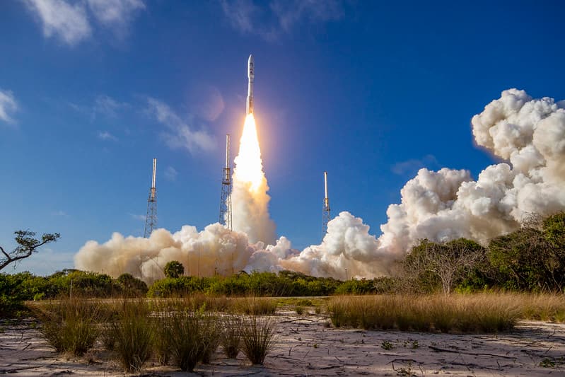
GOES-T Satellite Launches
NOAASatellites · 1024×683
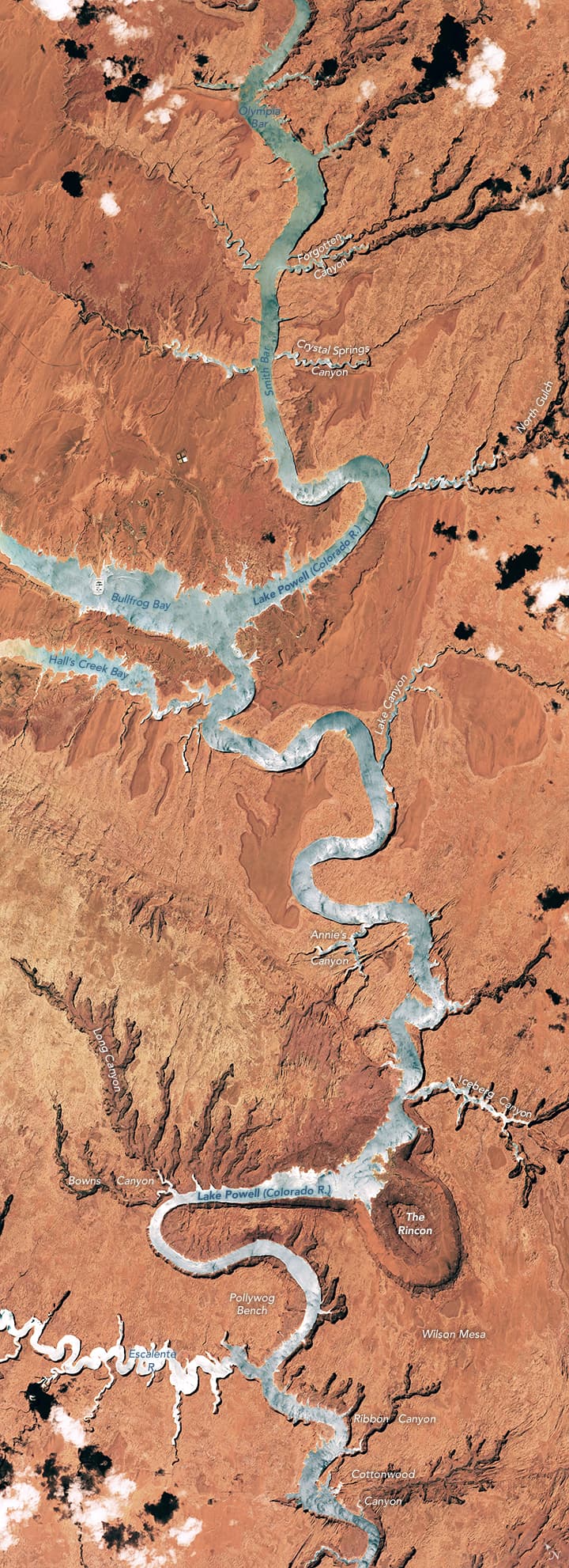
Lake Powell mosaic from ISS
NASA ISS Crew Earth Observations Facility · 720×1982
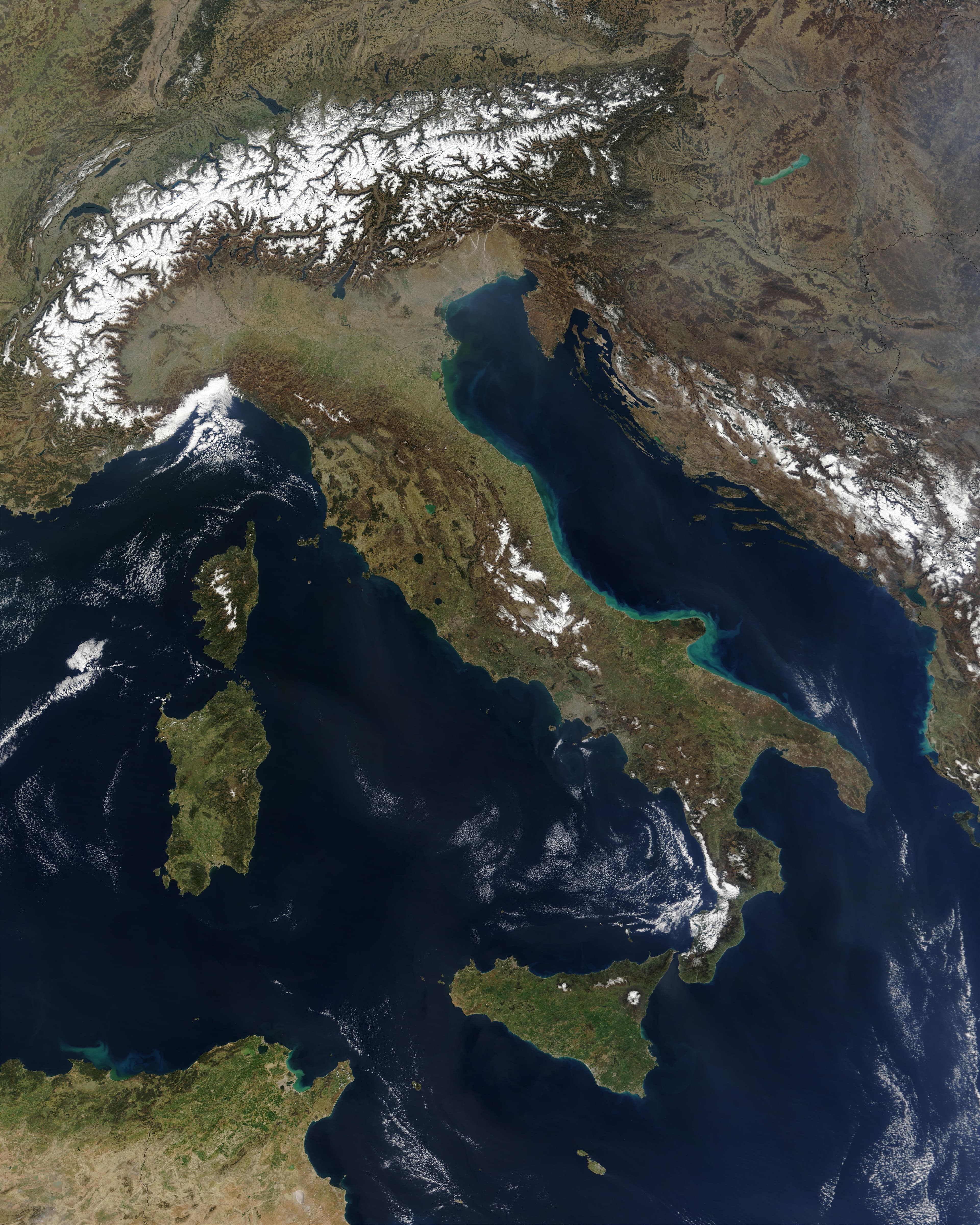
Satellite image of Italy in March 2003
Jacques Descloitres, MODIS Rapid Response Team, NASA/GSFC · 4800×6000
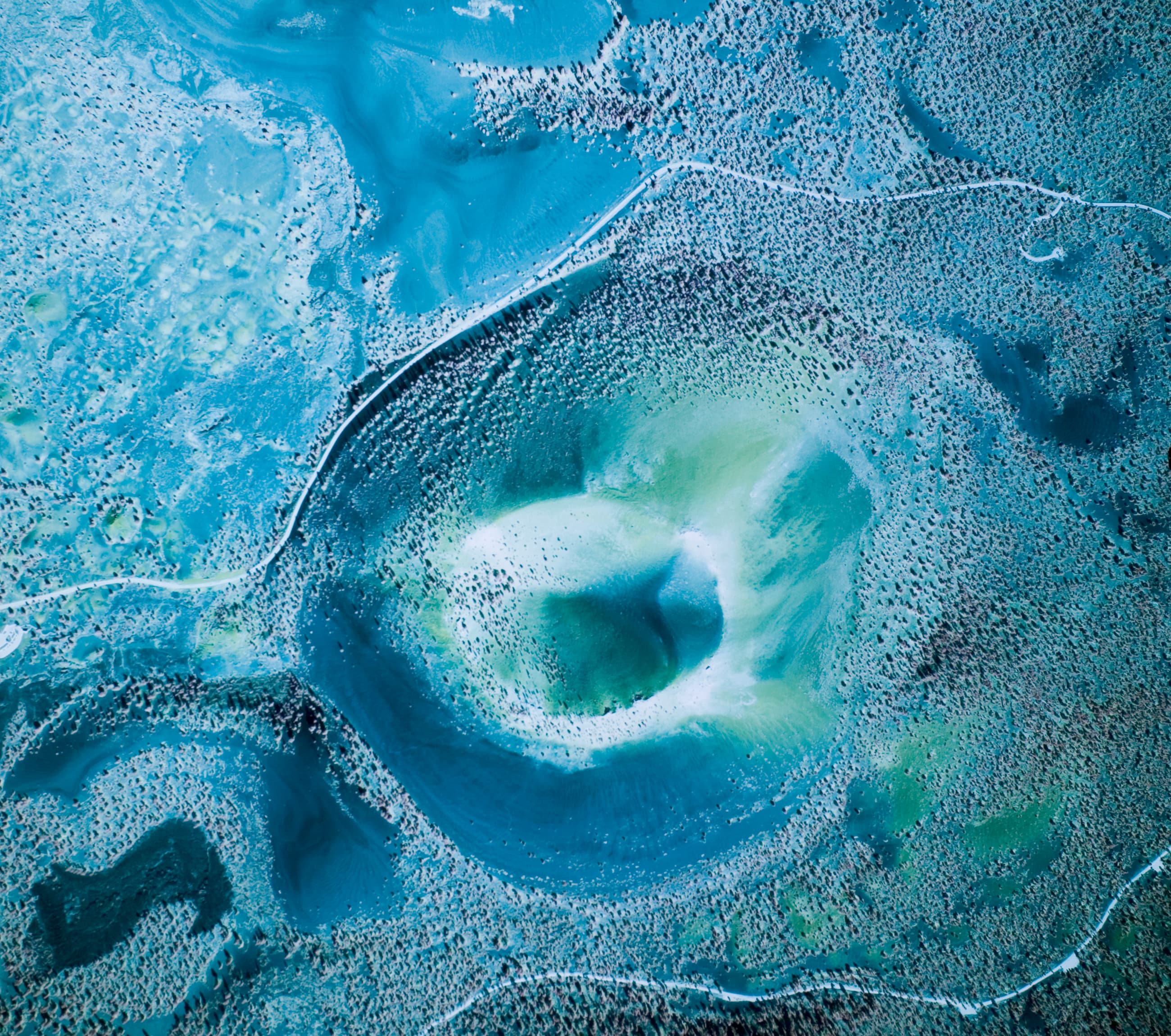
Sunset Crater ARLSUCR00040007
United States Geologic Survey · 2600×2300

Pegasus XL CYGNSS Microsats Installation on Deployment Module
NASA/Rod Speed · 854×1280

NASA's Terra Satellite Catches Powerful Supertyphoon Megi
NASA/GSFC · 975×1280

A Satellite View of a Back-door Cold Front
NASA/GSFC · 1280×1066
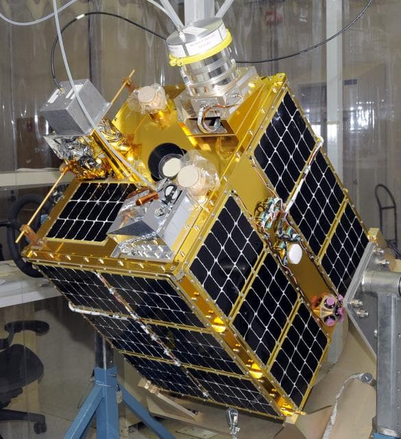
Fastsat, satellite
DOUG STOFFER · 1170×1280
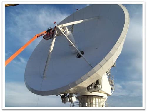
GOES-R Antenna Feed is installed at WCDAS
NOAASatellites · 500×381
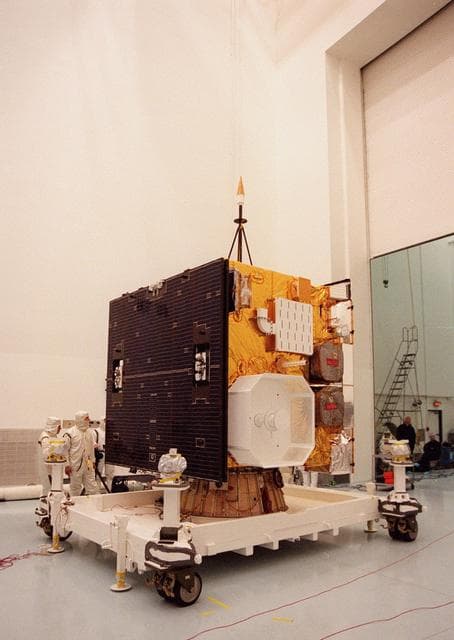
Goes, weather, satellite
NASA/KSC · 909×1280
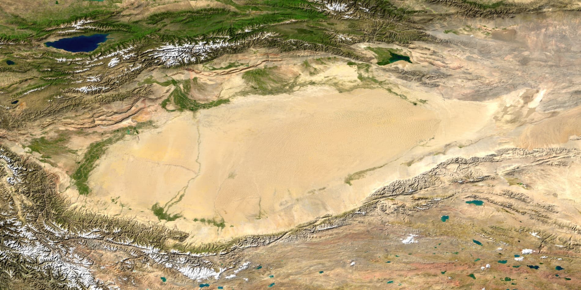
Bm taklamakan
NASA/Goddard Space Flight Center/Reto Stöckli and Robert Simmon · 1900×950
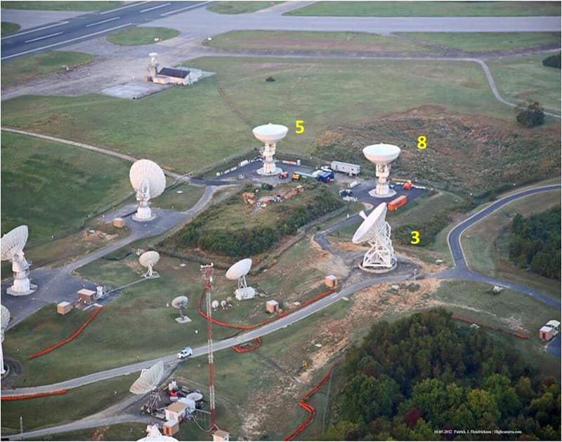
GOES-R Antenna Sites at WCDAS
NOAASatellites · 1024×807

Whole world - time-lapse from 2004-01 to 2004-12.gif
NASA/Goddard Space Flight Center · 1000×500

Turbid Waters Surround New Zealand - crop
Turbid_Waters_Surround_New_Zealand.jpg : Norman Kuring derivative work (a simple crop): Avenue ( talk ) · 2640×2992
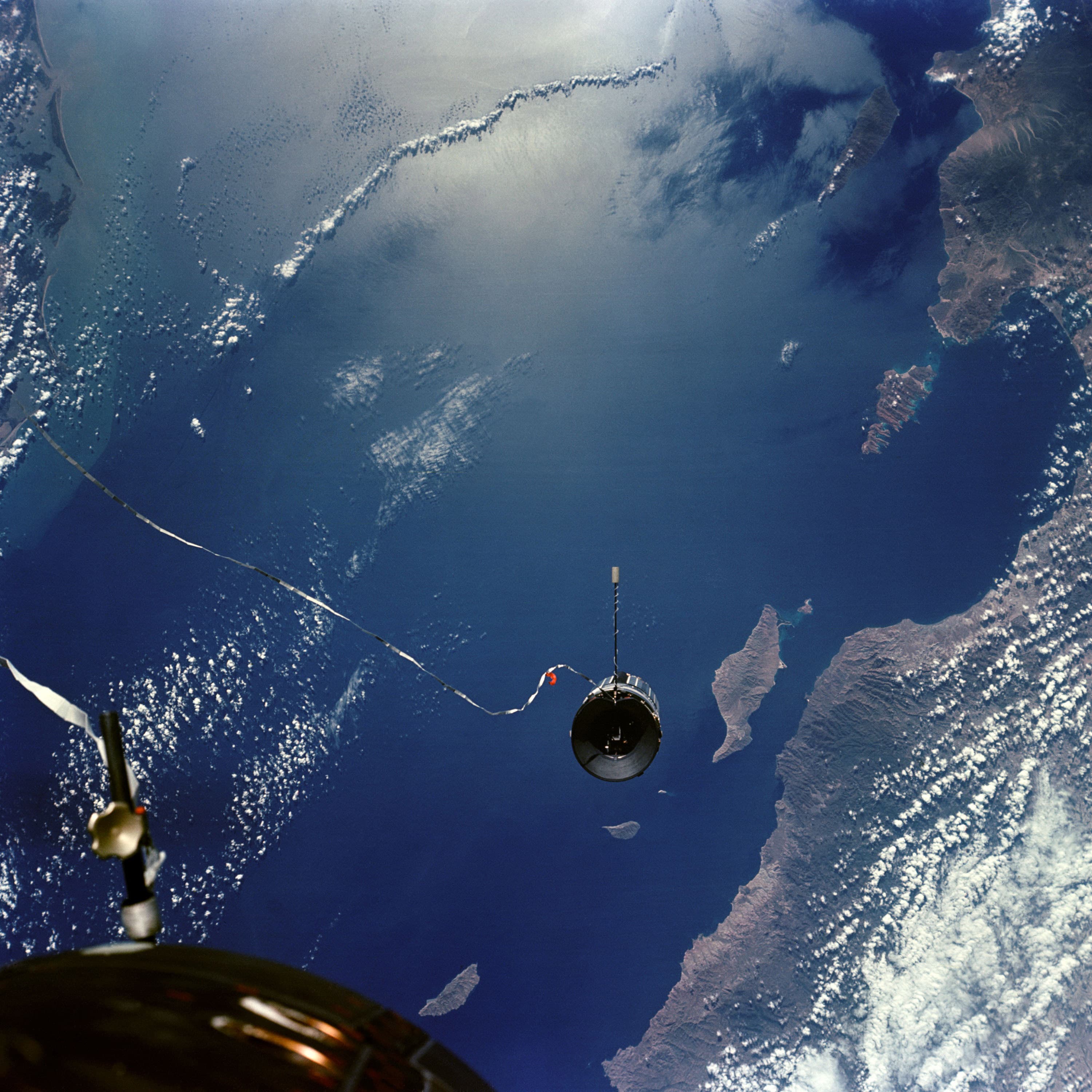
Gemini 11 Agena
NASA · 3000×3000
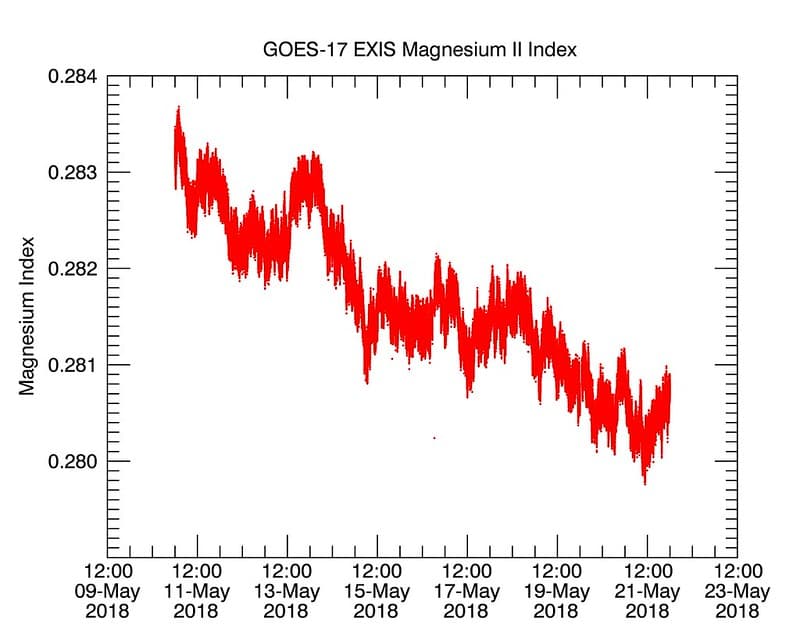
GOES-17 Shares First Data from its EXIS Instrument
NOAASatellites · 1024×819
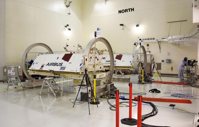
GRACE-FO Satellites in a Clean Room at Vandenberg Air Force Base
Airman 1st Class Clayton Wear · 1280×821

Satellite Sees Winter Storm March Over Mid-Atlantic
NASA/GSFC · 1280×1066
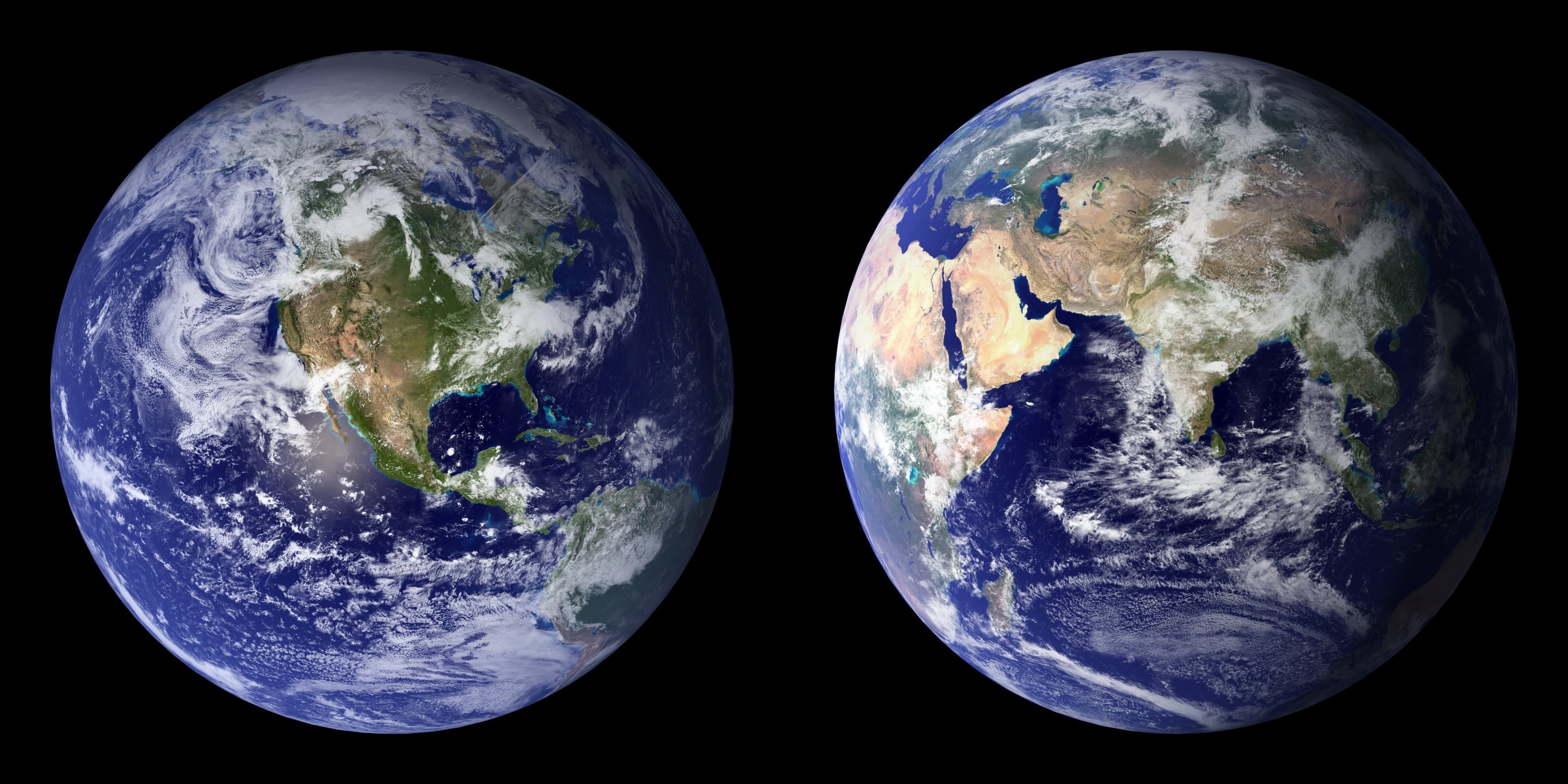
BlueMarble-2001-2002
Reto Stöckli (land surface, shallow water, clouds) Robert Simmon (enhancements: ocean color, compositing, 3D globes, animation) Data and technical support: MODIS Land Group; MODIS Science Data Support Team; MODIS Atmosphere Group; MODIS Ocean Group Additional data: USGS EROS Data Center (topography); USGS Terrestrial Remote Sensing Flagstaff Field Center (Antarctica); Defense Meteorological Satellite Program (city lights). · 4096×2048

Satellite Shows West Coast "June Gloom" and Actinoform clouds
NASA/GSFC · 1280×1066

Satellite Shows an "Arctic Blanket" Over the U.S. [detail]
NASA/GSFC · 1280×1066

Pegasus XL CYGNSS Microsats Installation on Deployment Module
NASA/Randy Beaudoin · 854×1280
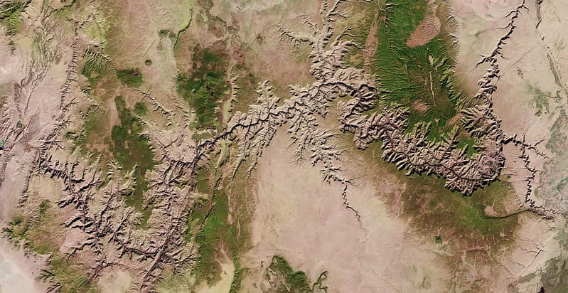
Grand Canyon from Landsat 8
U.S. Geological Survey · 1024×528

Satellite image of New Zealand in December 2002
Jacques Descloitres, MODIS Land Rapid Response Team at NASA GSFC · 4400×5800

NASA's Aqua Satellite Sees Partial Solar Eclipse Effect in Alaska
NASA/GSFC · 980×1280
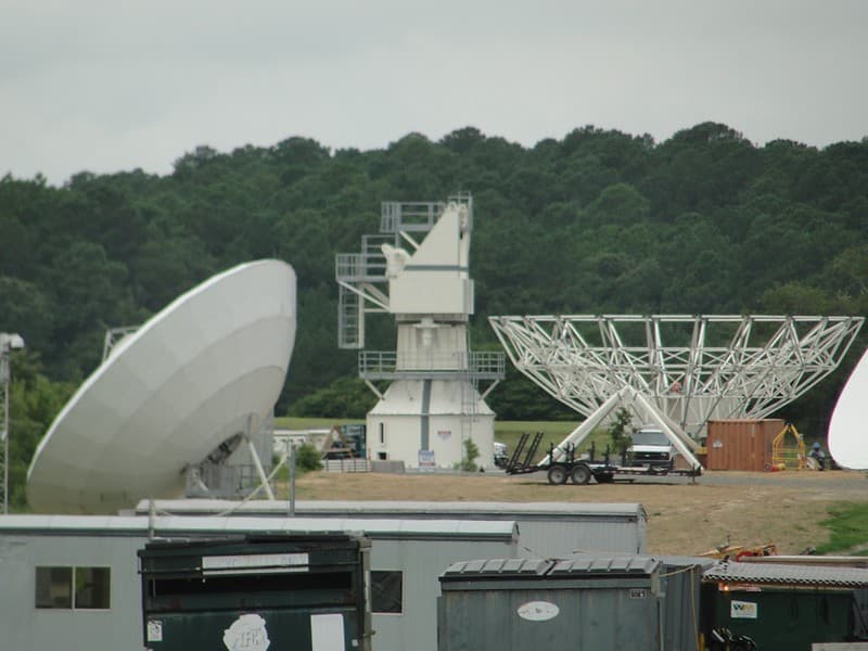
GOES-R W-2 Antenna under Construction at WCDAS
NOAASatellites · 1024×768
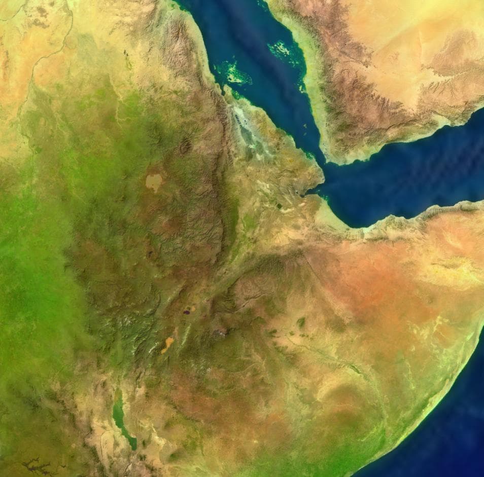
Ethiopia surface
NASA · 954×941
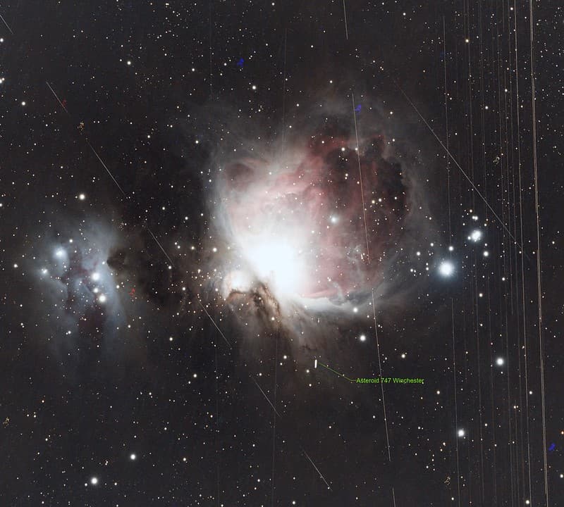
M42 Orion Satellite Highway and an Asteroid. (Explore)
kees scherer · 1024×922

Goes, satellite, sees
NASA/GSFC · 1280×1266
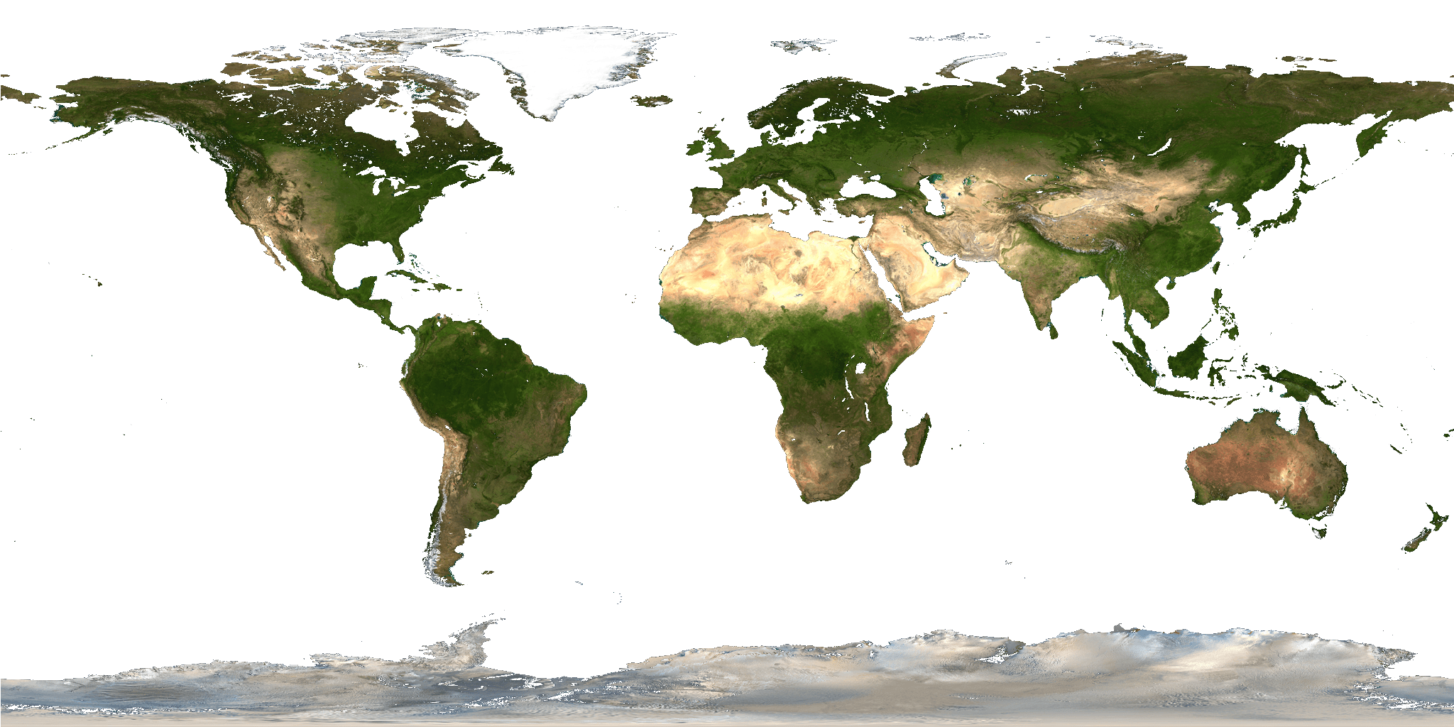
Land shallow topo alpha 2048
Land_shallow_topo_2048.jpg : NASA derivative work: Martin ( talk ) · 2048×1024

Gulfs, australia, yorke
NASA · 2151×2151

Whole world - land and oceans
NASA Earth Observatory (NASA Goddard Space Flight Center) · 8192×4096
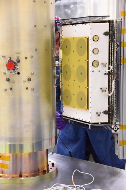
Pegasus XL CYGNSS Microsats Installation on Deployment Module
NASA/Rod Speed · 854×1280
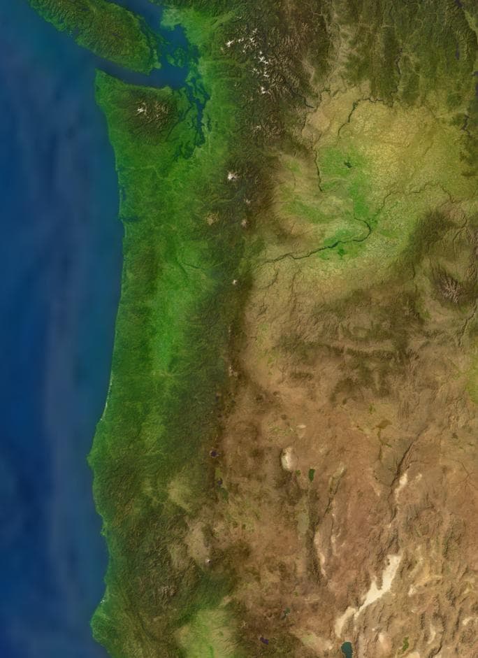
Cascades surface
NASA · 684×941
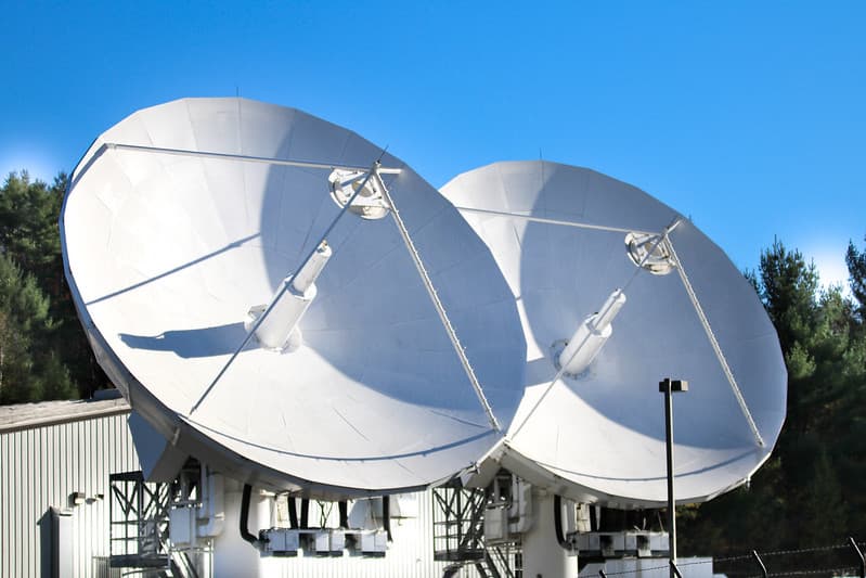
Satellite dishes
Mussi Katz · 1024×683

Wadi Rum, Jordan
NASA/GSFC · 1214×1280

GOES-West Satellite Eyes Soggy Storm Approaching California
NASA/GSFC · 1280×1066